Uncertain dating
Sources do not support one exact construction year; the most common dating is late 15th to early 16th century.
Follow the safety guidance for this point.
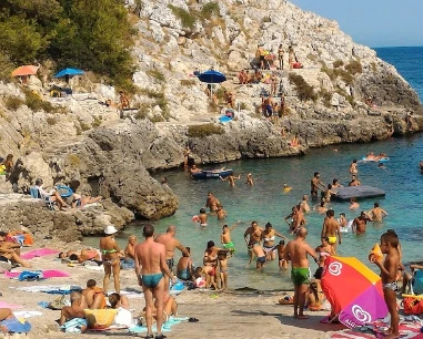
One of the oldest coastal watchtowers on Salento’s lower Adriatic coast, now a privately owned ruin on the heights above Marittima.
The specialist source is more cautious: there is no certain construction date, with the tower generally placed between the late 15th and early 16th centuries. The ruin is on private property.
Sources do not support one exact construction year; the most common dating is late 15th to early 16th century.
Follow the safety guidance for this point.
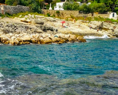
Torre Capo Lupo overlooks the coast between Castro bay and Marina di Andrano.
39.985664, 18.408314.
The tower stands inland on the Marittima heights rather than on the shoreline.
Follow the safety guidance for this point.
The specialist source confirms that the ruin lies on private property.
Do not cross fences or unauthorised access points.
The truncated-cone base remains readable, while the cylindrical upper level is much more damaged.
Basamento di circa 9 m di diametro e 7,20 m di altezza.
A marked stone stringcourse separates the base from the former usable level.
Follow the safety guidance for this point.
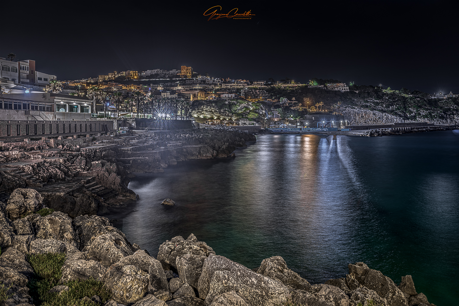
It originally communicated with Castro and later with Torre Diso to the north and Torre Porto di Ripa to the south.
Follow the safety guidance for this point.

Historic maps also call it Torre della Cala del Lupo, Torre di Marittima or Torre Lupo.
Follow the safety guidance for this point.
Do not approach the ruin outside clearly permitted routes.
Follow the safety guidance for this point.
Comfortable shoes, water, a hat and sun protection if you view it from outside.
Do not climb the ruin.
The gallery shows the available and verified photographs for this place.
Have you photographed this beach or a beach club located here? Send your image to Salentissimo.it.
The photo and the details you enter will be emailed to the editorial team and checked before possible publication among the photographs of this beach.
Beach clubs and bathing establishments linked to this location.
Compare nearby places and choose the most suitable route or access.
A tiny free pebble cove tucked between rock and Mediterranean scrub, where numerous freshwater springs make the sea strikingly cool even at the height of summer.
A rocky sea access in Marina di Marittima known for smooth slabs descending towards clear, relatively deep water.
A mainly rocky sea access along Marina di Marittima’s indented coast: deeper water at several points, water shoes recommended, and good swimming and snorkelling when the Adriatic is calm.
A rocky sea-access point on Marina di Marittima’s Via Litoranea, where the seabed can deepen quickly.
A small inlet on Marina di Marittima’s rocky coast in the southern sector towards the boundary with Marina di Andrano.
Choose a service and view all available businesses and information on its dedicated page.
Marina di Marittima lies between Marina di Andrano and Castro.
Location, access, safety and practical information.