Getting there and access
Reach the headland by urban roads and scenic paths; never use the cliff edge as a shortcut.
If an access point is closed or altered, do not improvise shortcuts: use authorised routes only.
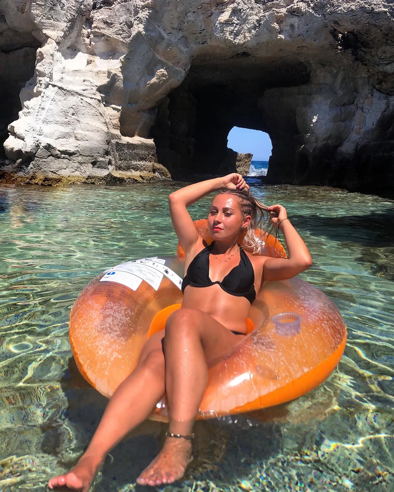
A scenic rocky spur beside Tricase harbour. The coastal plan identifies it as an area of particular natural and landscape interest: it is a viewpoint, not a place for improvised cliff jumps or descents.
Practical information checked for access, setting, safety and services. Information checked against current local sources; parking, access and sea conditions remain variable.
Reach the headland by urban roads and scenic paths; never use the cliff edge as a shortcut.
If an access point is closed or altered, do not improvise shortcuts: use authorised routes only.
Sea cliff and rocky coast with deep water and irregular seabed. Waves and wet rock greatly increase risk.
Before moving away from shore, identify a safe exit point and do not enter if waves or current exceed your ability.
Suitable as a scenic or cultural family stop, but it is not an equipped beach.
Before planning the day, consider access, distance from services, crowding and how easy it will be to get back.
Use town parking and services; availability, traffic restrictions and charges may change in summer.
Do not leave valuables visible in the car and do not occupy verges, access points or unauthorised spaces.
Part of the view is available from the urban area, but headland paths and cliff edges are not universally accessible.
If you have specific mobility needs, check before leaving whether the route is genuinely usable that day.
Keep back from the edge and avoid improvised descents or jumps. Wet rock and wind make the headland more hazardous.
If signs or barriers on site are more restrictive than this guide, the instructions on site always take precedence.
Information checked against current local sources; parking, access and sea conditions remain variable.
Check the date of the notice: a temporary measure should not be interpreted as a permanent rule.
Best for scenery, photography, sunrise or sunset and headland walks.
Before deciding, pay particular attention to the access and safety cards, as they can completely change the experience.
Less suitable for small children, non-swimmers, rough sea or anyone expecting a fully serviced and effortless beach day.
If one of these limitations is decisive for you, compare a nearby location before setting off.
Comfortable shoes, water and sun protection.
Keep your phone and documents in a waterproof case and carry your gear in a compact backpack.
The pin marks the mapped reference point. Coordinates: 39.933430, 18.397690.
The gallery uses Salentissimo database photos already linked to this place.
Have you photographed this beach or a beach club located here? Send your image to Salentissimo.it.
The photo and the details you enter will be emailed to the editorial team and checked before possible publication among the photographs of this beach.
Do you own or manage a beach club or bathing establishment? Claim your listing free of charge: email us a photo, a short description, your contact details and a link to your website. We will create an updated card with the information you provide.
A nearby place for continuing along the same coastal stretch.
Profonda insenatura naturale tra Marina Serra e Tricase Porto, inserita nel sistema idrografico costiero del territorio.
Open guideCavità marina del litorale di Tricase Porto, tra roccia, insenature e macchia mediterranea.
Open guideLa piccola spiaggetta della marina, inserita nel paesaggio roccioso di Tricase Porto.
Open guideSperone roccioso vicino all'area portuale, di interesse naturalistico e panoramico.
Open guidePiccolo isolotto a breve distanza dalla costa di Tricase Porto.
Open guideTorre costiera storica del territorio di Tricase, tutelata come bene architettonico.
Open guideDo you run a hotel, B&B, residence, holiday home or other accommodation? Claim your listing free of charge: email us a photo, a short description, your contact details and a link to your website. We will create an updated card with the information you provide.
Navigation follows the parent resort and adjacent coastal places.
Practical information checked for access, setting, safety and services.