Getting there and access
Use permitted roads and paths within the reserve. Do not cross dunes, wetlands or fenced areas away from authorised routes.
If an access point is closed or altered, do not improvise shortcuts: use authorised routes only.
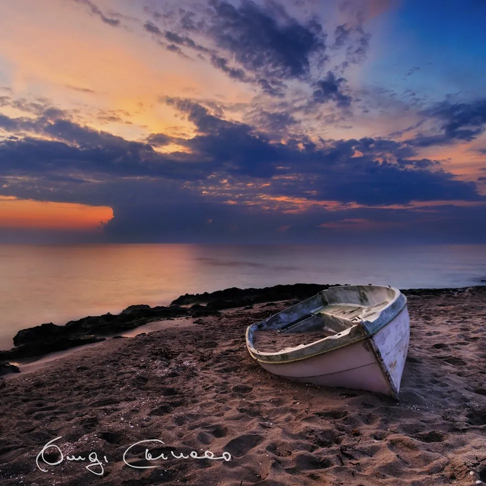
A State Nature Reserve and WWF oasis in Vernole: a back-dune wetland with ponds, reed beds, dunes, pinewood and Mediterranean scrub. The correct visitor reference is Masseria Cesine Visitor Centre, not a generic beach access.
Practical information checked for access, setting, safety and services. In February 2026 WWF and Vernole municipality reported dune-barrier overwash after severe storms and ongoing monitoring, so paths and coastal conditions can change.
Use permitted roads and paths within the reserve. Do not cross dunes, wetlands or fenced areas away from authorised routes.
If an access point is closed or altered, do not improvise shortcuts: use authorised routes only.
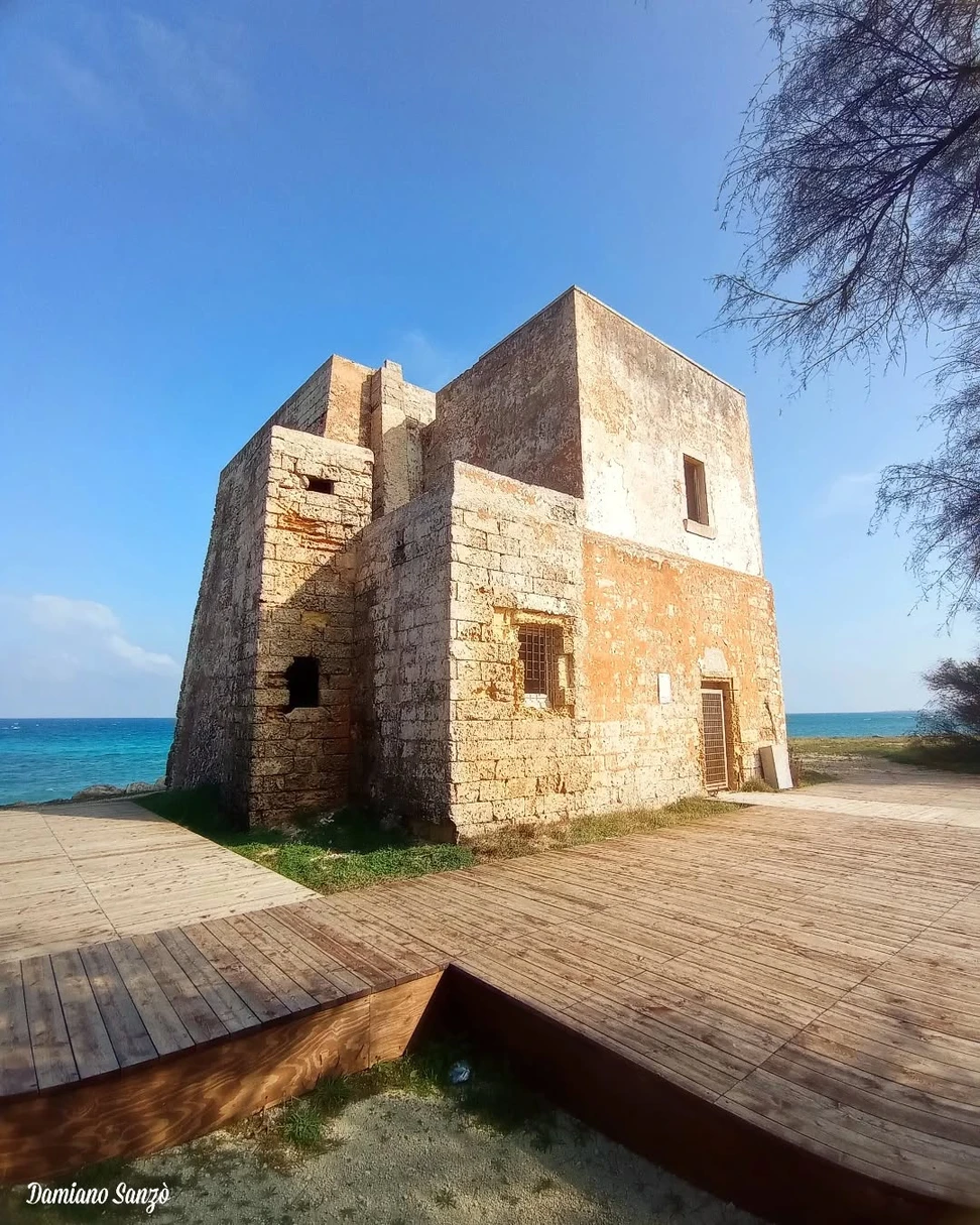
This is not a beach: its main value is scenic, historic or natural. Use separate public bathing access for swimming.
Before moving away from shore, identify a safe exit point and do not enter if waves or current exceed your ability.
Suitable as a scenic or cultural family stop, but it is not an equipped beach.
Before planning the day, consider access, distance from services, crowding and how easy it will be to get back.
The reserve is not an informal parking area: use authorised spaces only and keep off dunes, protected tracks and service accesses.
Do not leave valuables visible in the car and do not occupy verges, access points or unauthorised spaces.
No certified step-free route to the exact point was found; check the chosen access before travelling.
If you have specific mobility needs, check before leaving whether the route is genuinely usable that day.
Respect paths, dunes, vegetation and wildlife; no camping or vehicle parking outside authorised areas.
If signs or barriers on site are more restrictive than this guide, the instructions on site always take precedence.
In February 2026 WWF and Vernole municipality reported dune-barrier overwash after severe storms and ongoing monitoring, so paths and coastal conditions can change.
Check the date of the notice: a temporary measure should not be interpreted as a permanent rule.
Best for nature, hiking, photography and protected coastline.
Before deciding, pay particular attention to the access and safety cards, as they can completely change the experience.
Less suitable for small children, non-swimmers, rough sea or anyone expecting a fully serviced and effortless beach day.
If one of these limitations is decisive for you, compare a nearby location before setting off.
Grippy footwear, water, hat and sun protection.
Keep your phone and documents in a waterproof case and try to travel light.
The gallery uses Salentissimo database photos already linked to this place.
Have you photographed this beach or a beach club located here? Send your image to Salentissimo.it.
The photo and the details you enter will be emailed to the editorial team and checked before possible publication among the photographs of this beach.
Beach clubs and bathing establishments linked to this location.
Add it to the portal for free.
Add beach clubA nearby place for continuing along the same coastal stretch.
Small sandy pockets and low rocky shore around Torre Specchia Ruggeri on the Adriatic. It is not one continuous uniform beach: access, depth and seabed vary from cove to cove.
Ruins of the 16th-century coastal watchtower north of Torre Specchia Ruggeri. It is a historic scenic stop, not a beach and not a building to assume is freely open inside.
Le Ficherelle is a small natural coastal sector near Torre Specchia Ruggeri and the Cesine wetlands.The map pin is therefore approximate and the boundary context is stated clearly.
Choose a service and view all available businesses and information on its dedicated page.
Navigation follows the parent resort and adjacent coastal places.
Practical information checked for access, setting, safety and services.