L’Approdo
Puglia · Salento · Ionian Sea · Porto Cesareo

L’Approdo

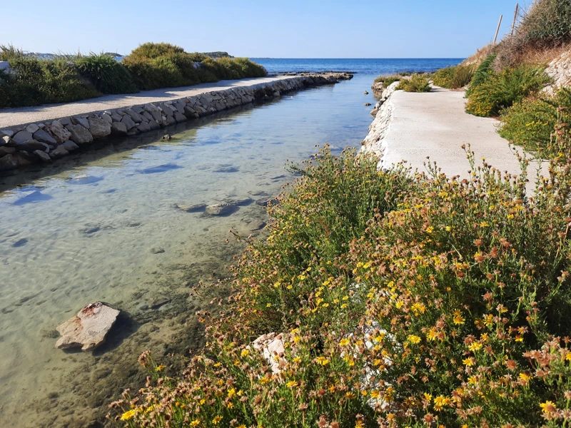
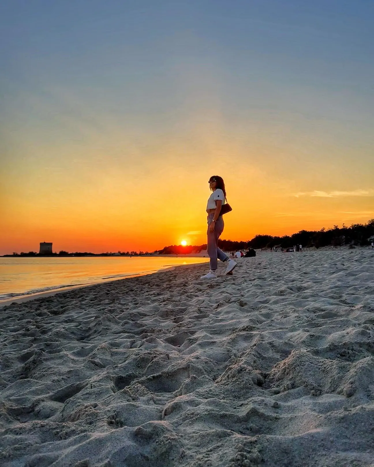
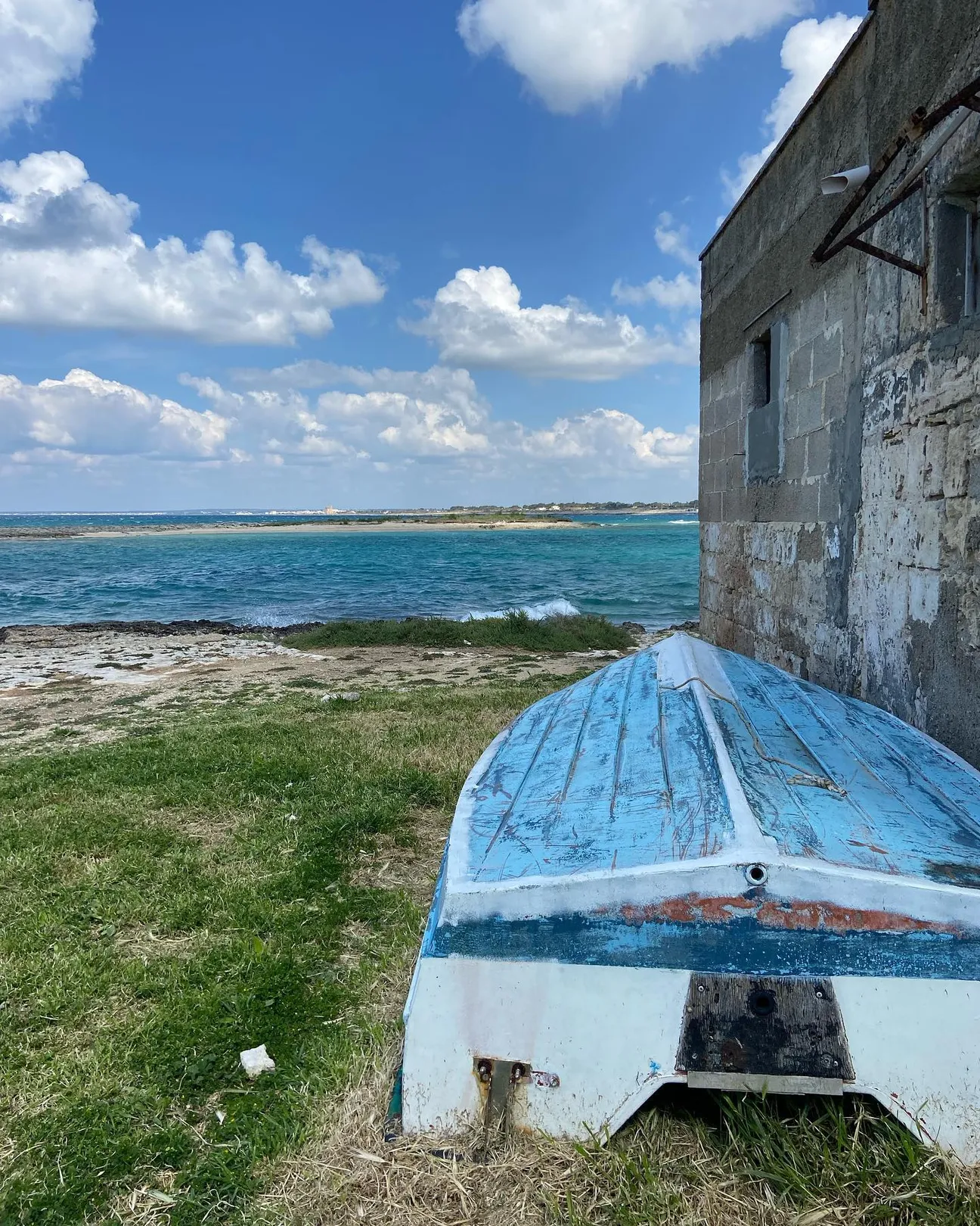
L’Approdo is the Torre Chianca coastal sector beside the namesake sailing club and Lido Tabù. It should not be described as one entirely free public beach: public access, concessions and nautical activities coexist along this stretch.

L’Approdo: What to know before you go

Checked practical information on access, sea conditions, services and safety. The Municipal Coastal Plan records concessions and the Circolo Nautico L’Approdo in the Torre Chianca area, so the shoreline must be read on the ground rather than treating the place name as one single beach club.

Getting there and access

Reach it from the coastal road and the local streets of Torre Chianca. Before settling down, check which access points lead to the free public beach and which areas belong to concessions or the sailing club.

Access

If an access point is closed or altered, do not improvise shortcuts: use authorised routes only.
Sea, coast and seabed

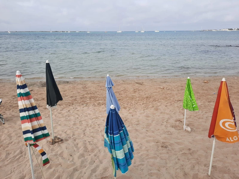
Light sand and sandy seabed alternate with more irregular patches. Depth is not uniform and can increase within a few metres, so this is not a beach where shallow water can be guaranteed everywhere.

Sea

Before moving away from shore, identify a safe exit point and do not enter if waves or current exceed your ability.

Advertisement

Families and children

With small children, choose only spots away from manoeuvring areas and with an easy entry; supervision and sea conditions remain essential.

Families

Before planning the day, consider access, distance from services, crowding and how easy it will be to get back.

Parking and services

The area is very busy in high season. Services are concentrated around nearby businesses; for the free beach it is best to arrive early and not assume parking will be available directly beside the access.

Planning

Do not leave valuables visible in the car and do not occupy verges, access points or unauthorised spaces.

Accessibility

Accessibility depends on the specific entrance and any seasonal walkways; universal accessibility is not claimed without a verified route on site.

Accessibility

If you have specific mobility needs, check before leaving whether the route is genuinely usable that day.

Wind and sea conditions

Wind, waves and boat traffic can change conditions quickly. Keep clear of launch corridors, buoys and operational areas and do not treat the inlet as if it were free of nautical activity.

Safety

If the wind strengthens, reassess your return before conditions worsen.

Who it suits

Good for visitors seeking sea, snorkelling and nearby services; less suitable for those wanting one long uniform free beach or consistently very shallow water.

Recommended

Before deciding, pay particular attention to the access and safety cards, as they can completely change the experience.

Less suitable for

Visitors seeking obstacle-free access, guaranteed conditions or a long fully serviced beach should consider easier alternatives.

Less suitable

If one of these limitations is decisive for you, compare a nearby location before setting off.

What to bring

Water, sun protection, mask and water shoes if you explore mixed seabed areas.

What to bring

Keep your phone and documents in a waterproof case and try to travel light.

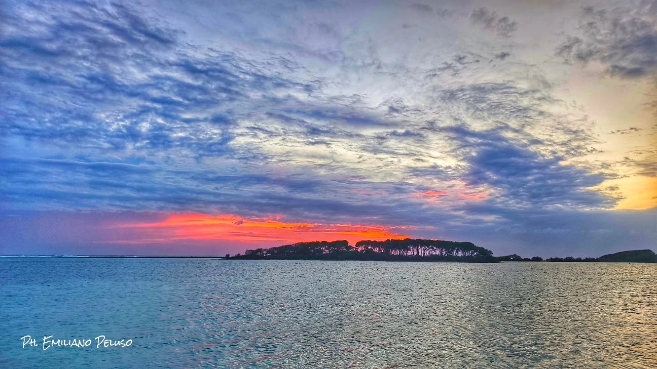
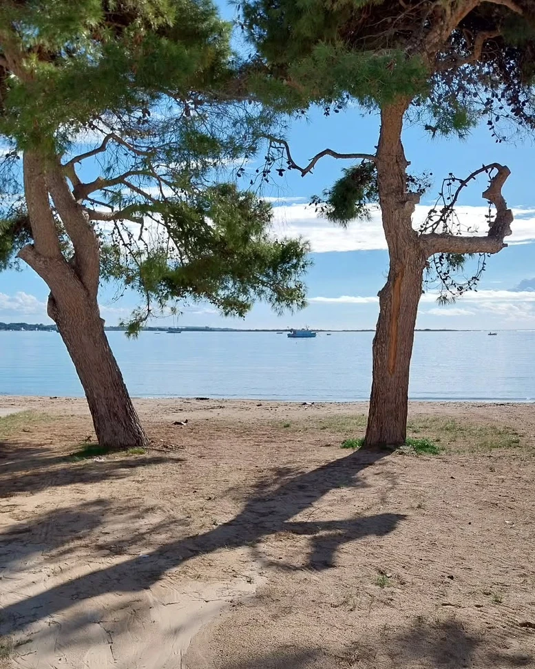
The gallery shows the available and verified photographs for this place.

Book a beach umbrella

Beach clubs and bathing establishments linked to this location.

Visit other beaches in the same seaside resort (Porto Cesareo)

Continue along the same coast with linked guides.

Torre Chianca, Porto Cesareo

Torre Chianca, Porto Cesareo

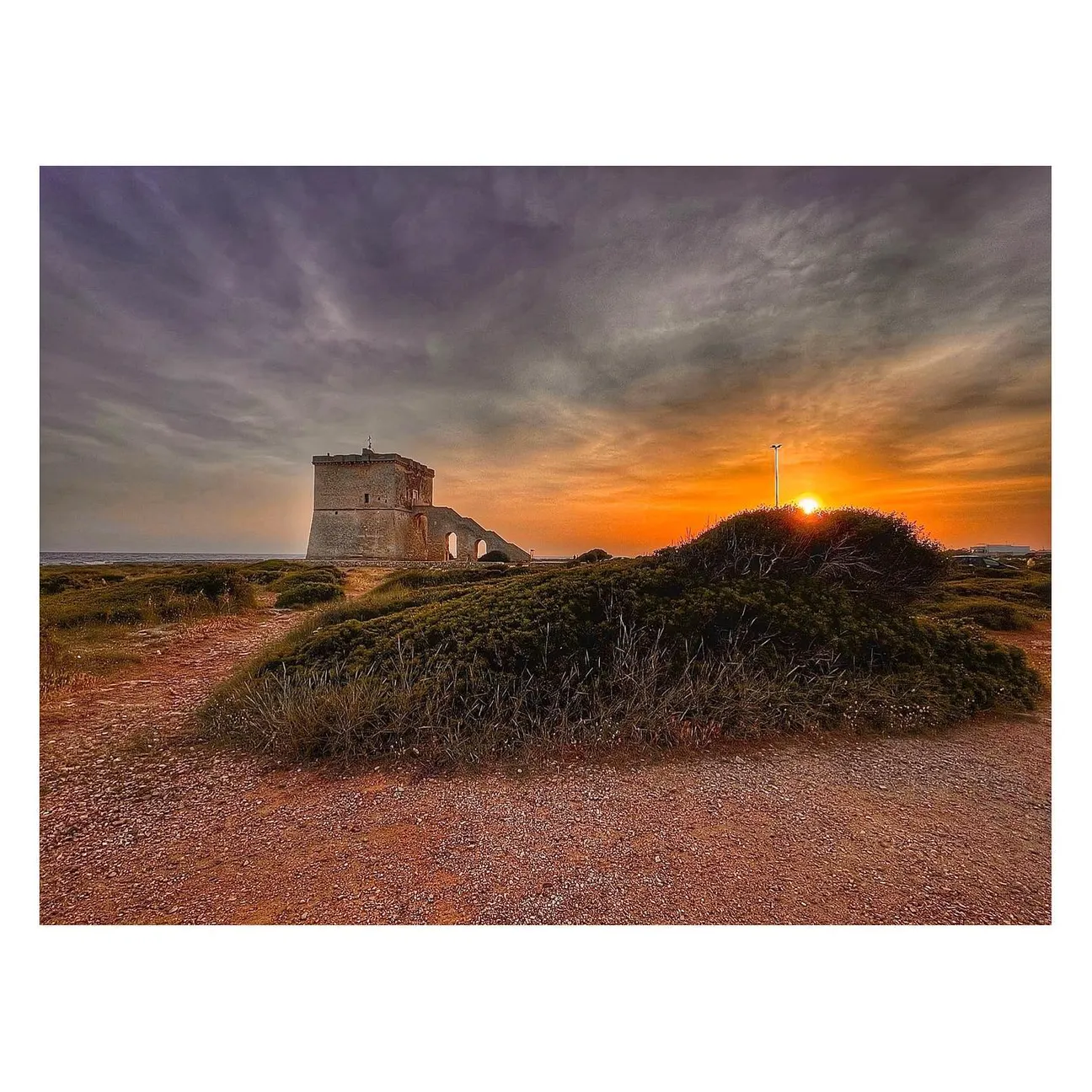
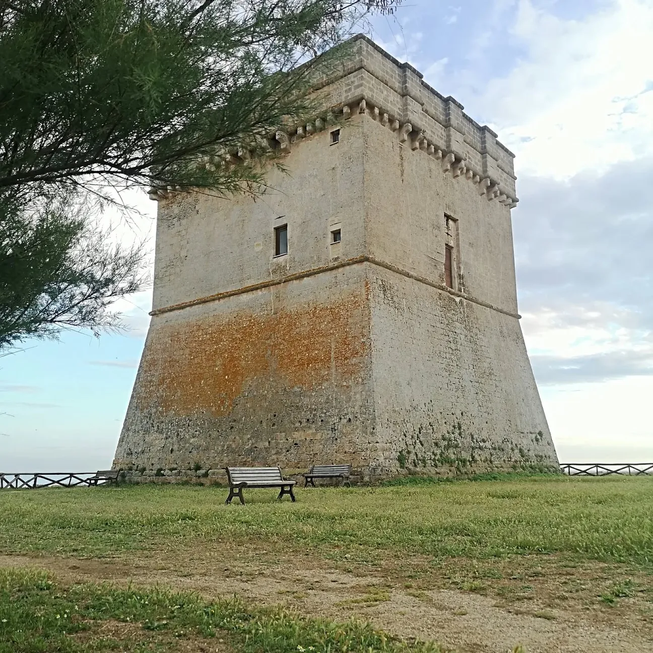
A sixteenth-century coastal tower beside pale sand, short rocky sections and generally shallow water. It is also the northern landmark of Baia Grande, the stretch of sea between Torre Chianca and Torre Lapillo known to kitesurfers: wind, bathing rules and sea conditions must be taken seriously here.

Scalo di Furno

Scalo di Furno

A free stretch of Porto Cesareo coastline where pale sand, small rocky sections and the local name “Primo Ponte” meet one of the resort’s most important archaeological sites. Since July 2026 Scalo di Furno has also been a key point in the new coastal and underwater archaeological park.

Advertisement
Isola dei Conigli

Isola dei Conigli

Isola dei Conigli is Porto Cesareo’s Isola Grande: a state nature reserve of about 9 hectares managed by the Carabinieri Biodiversity Unit in Martina Franca. Access is listed as free, but a small-boat transfer is the simplest option; wading or swimming across should not be treated as an always-harmless walk.

Torre Cesarea

Torre Cesarea, also known as the Tower of Porto Cesareo, is the large square tower in Piazza Nazario Sauro. The municipality records completion in 1570 and reconstruction in 1622 after structural problems. It remains a major historic landmark.

Porto Cesareo Beach

Porto Cesareo Beach

Porto Cesareo Beach is a small urban beach in the town centre. Its main advantage is location: the sea is steps from bars, shops and services, but space is limited compared with the long beaches farther north.

Lu Culacchiu

Lu Culacchiu

Lu Culacchiu is a small free public beach on the southern approach to Porto Cesareo from Sant’Isidoro. It is mainly a neighbourhood beach used by people staying or living nearby.

Le Dune free beach

Le Dune free beach

The free strip between Le Dune and Tabù is one of Porto Cesareo’s easiest and most popular beaches: fine sand, generally shallow sea and private services nearby. Peak-summer crowding is the trade-off, and the dunes behind the shore are protected habitat, not a shortcut.

Malva Rock

Malva Rock

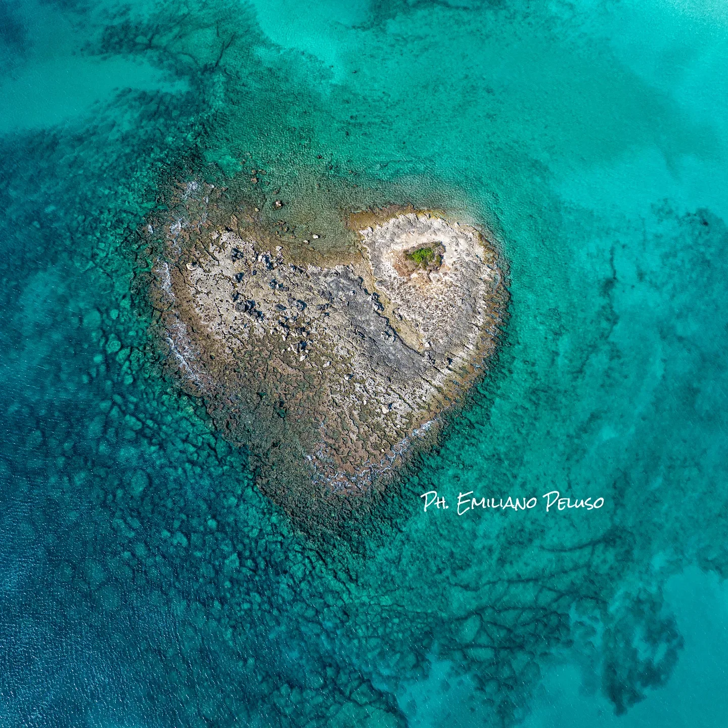
Malva Rock is a small outcrop off Torre Chianca, distinct from the nearby Isola della Malva. The area has landscape and archaeological value and is subject to a specific navigation restriction.

Isola della Malva

Isola della Malva

Isola della Malva is a small islet off the Torre Chianca sector within Porto Cesareo’s protected marine landscape. It must be distinguished from the nearby Scoglio della Malva, which has its own navigation rules. The seabed off Torre Chianca also contains the site of five Greco-Roman columns, a separate underwater archaeological site.

La Strea

La Strea

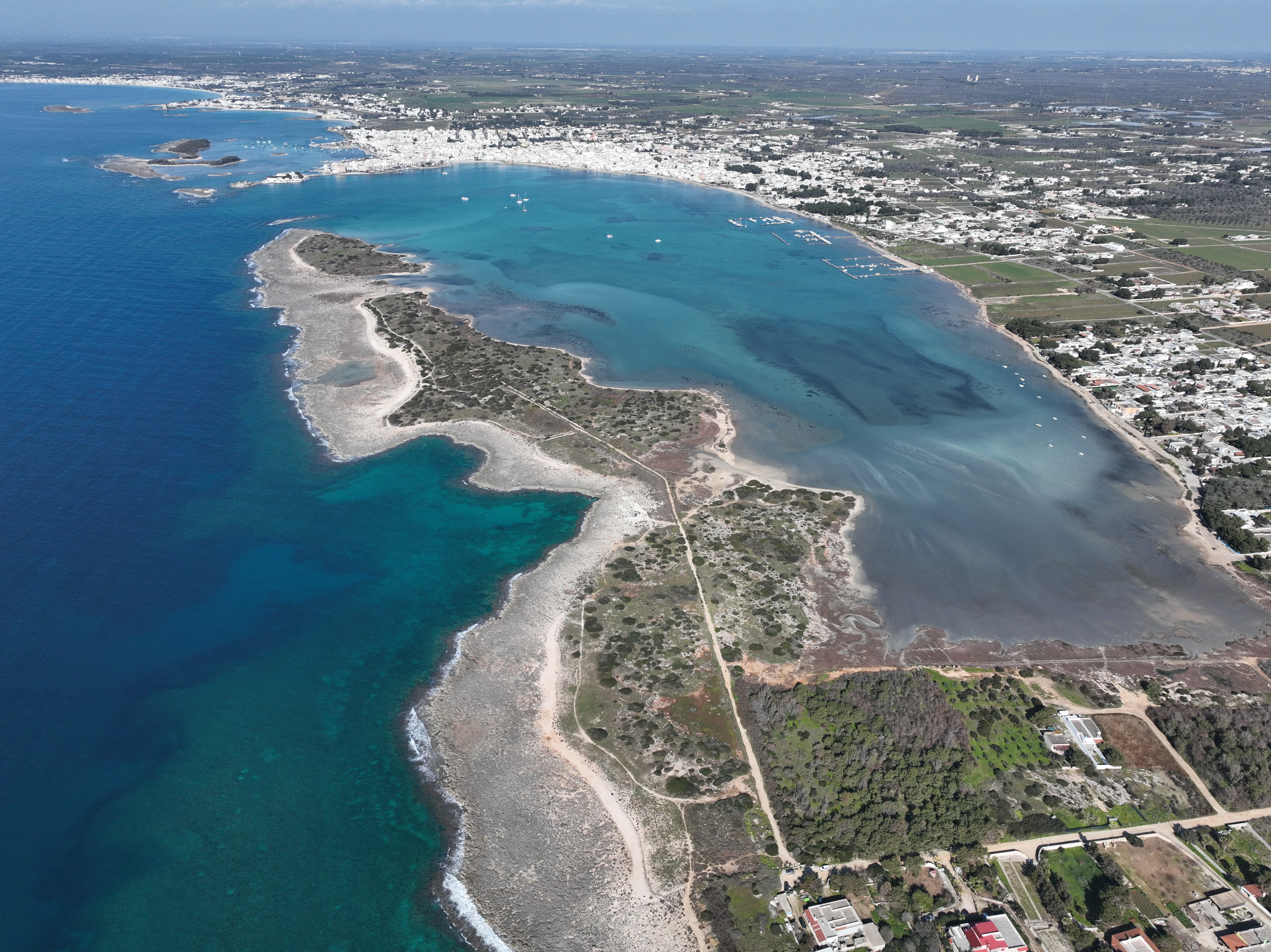
A natural peninsula closing the southern side of Porto Cesareo bay: shallow sheltered water on one side and rocky open sea on the other. It is primarily a place to walk and observe, with conservation rules more important than a normal beach day.

Salentissimo.it

Services near L’Approdo

Choose a service and view all available businesses and information on its dedicated page.

Continue along the coast

Navigation follows the parent seaside resort configured in the project.

Frequently asked questions · L’Approdo

Access, sea, parking, families, services and safety.

Where is it?
Porto Cesareo
What type of place is it?
Beach stretch and small inlet
How do you get there?
Reach it from the coastal road and the local streets of Torre Chianca. Before settling down, check which access points lead to the free public beach and which areas belong to concessions or the sailing club.
What is the sea or seabed like?
Light sand and sandy seabed alternate with more irregular patches. Depth is not uniform and can increase within a few metres, so this is not a beach where shallow water can be guaranteed everywhere.
Is it suitable for children?
Good for visitors seeking sea, snorkelling and nearby services; less suitable for those wanting one long uniform free beach or consistently very shallow water.
Where can you park and are there services?
The area is very busy in high season. Services are concentrated around nearby businesses; for the free beach it is best to arrive early and not assume parking will be available directly beside the access.
Is it accessible for people with reduced mobility?
Accessibility depends on the specific entrance and any seasonal walkways; universal accessibility is not claimed without a verified route on site.
Can you swim or snorkel?
Light sand and sandy seabed alternate with more irregular patches. Depth is not uniform and can increase within a few metres, so this is not a beach where shallow water can be guaranteed everywhere. Wind, waves and boat traffic can change conditions quickly. Keep clear of launch corridors, buoys and operational areas and do not treat the inlet as if it were free of nautical activity.
What is the main safety point?
Wind, waves and boat traffic can change conditions quickly. Keep clear of launch corridors, buoys and operational areas and do not treat the inlet as if it were free of nautical activity.