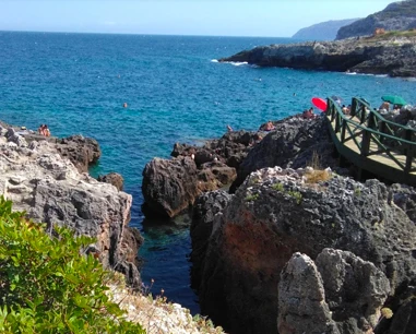
Rock-cut harbour
The Park describes the harbour as cut into a former limestone quarry at sea level.
Follow the safety guidance for this point.
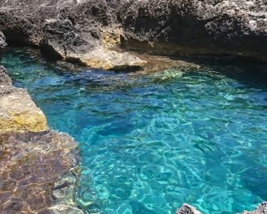
Novaglie’s small tourist harbour, cut into the rocky coast and connected to Via Amerigo Vespucci by the Park’s Sentiero del Porto.
It is first and foremost an active harbour: the Park describes a rock-cut approach, and harbour rules document a navigation corridor where swimming is prohibited.
The Park describes the harbour as cut into a former limestone quarry at sea level.
Follow the safety guidance for this point.
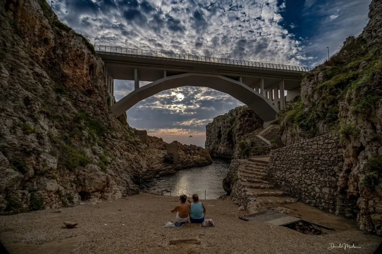
It starts on Via Amerigo Vespucci, crosses the harbour and climbs back by natural-stone steps.
Follow the safety guidance for this point.
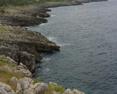
The Park also lists Joelette use for the trail.
This does not mean independent wheelchair access or an obstacle-free shoreline.
We use 39.8605, 18.3920 as the harbour reference point.
The official route starts and ends on Via Amerigo Vespucci.
Harbour rules establish an entrance/exit corridor for boats where swimming and anchoring are prohibited.
Check buoys, signs and boat traffic before entering the water.
The harbour is worth seeing and the trail is short, but children need constant supervision in an active port.
Choose only areas clearly intended for bathing and stay outside nautical corridors.
Do not snorkel in boat manoeuvring areas.
Use bathing access outside the harbour and stay away from the entrance.
The Sentiero del Porto passes a panoramic parking area above the harbour.
Follow the safety guidance for this point.
Scarpe comode, acqua, cappello e protezione solare.
Watch out for mooring lines, quays, ladders and boat movements.
Reference coordinates: 39.8605, 18.392. The pin is an orientation point for the area or complex, not a certified exact entrance.
The gallery shows the available and verified photographs for this place.
Have you photographed this beach or a beach club located here? Send your image to Salentissimo.it.
The photo and the details you enter will be emailed to the editorial team and checked before possible publication among the photographs of this beach.
Do you own or manage a beach club or bathing establishment? Claim your listing free of charge: email us a photo, a short description, your contact details and a link to your website. We will create an updated card with the information you provide.
Compare nearby places and choose the most suitable route or access.
A natural cave on the coast of Marina di Novaglie, documented among the principal geological or historic places of the locality.
Open guideA beach or sea-access point on the coast of Marina di Novaglie, included among the public coastal places of this page.
Open guideA coastal place documented in the Salentissimo.it archive for Marina di Novaglie.
Open guideA natural cave on the coast of Marina di Novaglie, documented among the principal geological or historic places of the locality.
Open guideA historic coastal tower or lookout connected with the defensive landscape of Marina di Novaglie.
Open guideA natural cave on the coast of Marina di Novaglie, documented among the principal geological or historic places of the locality.
Open guideDo you run a hotel, B&B, residence, holiday home or other accommodation? Claim your listing free of charge: email us a photo, a short description, your contact details and a link to your website. We will create an updated card with the information you provide.
Marina di Novaglie lies between the Ciolo and the Corsano coast.
Location, access, safety and practical information.