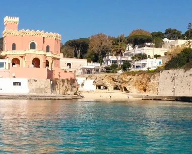
Getting there and access
It lies in the centre of the resort and is reached on foot from the seafront and main square.
If an access point is closed or altered, do not improvise shortcuts: use authorised routes only.
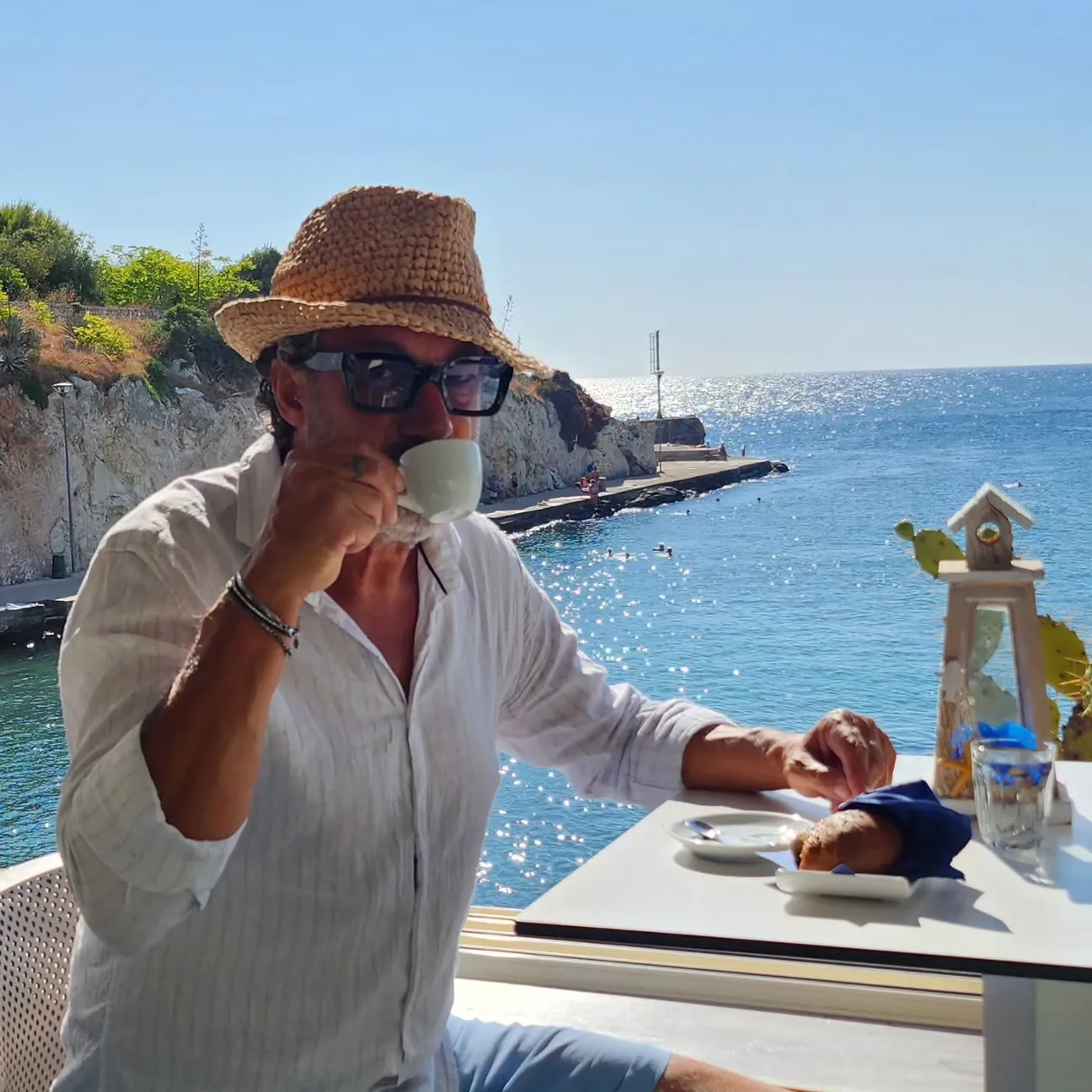
A small beach at Tricase Porto within the Old Harbour setting. Municipal documents distinguish the inner beach and Spiaggia Sauli near the harbour entrance: limited space, urban setting and care around operational port areas.
Practical information checked for access, setting, safety and services. Municipal documents distinguish a small beach in the Old Harbour and Spiaggia Sauli near the entrance. Accessibility works mentioned in the coastal plan are proposals/projects and are not presented as guaranteed current facilities.
It lies in the centre of the resort and is reached on foot from the seafront and main square.
If an access point is closed or altered, do not improvise shortcuts: use authorised routes only.
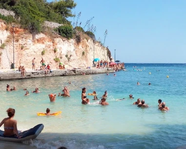
A small urban sandy beach dominates, with rock at the edges; the seabed is generally easier than on nearby cliff sections.
Before moving away from shore, identify a safe exit point and do not enter if waves or current exceed your ability.
One of the easier options here for families, although it becomes very crowded in high season and supervision remains essential.
Before planning the day, consider access, distance from services, crowding and how easy it will be to get back.
Use town parking and services; availability, traffic restrictions and charges may change in summer.
Do not leave valuables visible in the car and do not occupy verges, access points or unauthorised spaces.
The urban approach is easy, but not every final section to the shore or monument is confirmed step-free.
If you have specific mobility needs, check before leaving whether the route is genuinely usable that day.
Give way to harbour operations and vessels. Do not occupy slipways or working quays and do not use the harbour as a bathing area.
If signs or barriers on site are more restrictive than this guide, the instructions on site always take precedence.
Municipal documents distinguish a small beach in the Old Harbour and Spiaggia Sauli near the entrance. Accessibility works mentioned in the coastal plan are proposals/projects and are not presented as guaranteed current facilities.
Check the date of the notice: a temporary measure should not be interpreted as a permanent rule.
Best for families wanting a small urban beach close to services.
Before deciding, pay particular attention to the access and safety cards, as they can completely change the experience.
Less suitable for small children, non-swimmers, rough sea or anyone expecting a fully serviced and effortless beach day.
If one of these limitations is decisive for you, compare a nearby location before setting off.
Water, sun protection, optional water shoes and a parasol if no shade is available.
Keep your phone and documents in a waterproof case and carry your gear in a compact backpack.
The gallery uses Salentissimo database photos already linked to this place.
Have you photographed this beach or a beach club located here? Send your image to Salentissimo.it.
The photo and the details you enter will be emailed to the editorial team and checked before possible publication among the photographs of this beach.
Beach clubs and bathing establishments linked to this location.
A nearby place for continuing along the same coastal stretch.
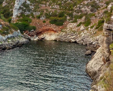
A deep inlet and natural channel between Tricase Porto and Marina Serra. The municipality classifies it as an episodic watercourse in a protected area and records geomorphological hazards along the coast: it is mainly a place to view and explore cautiously.
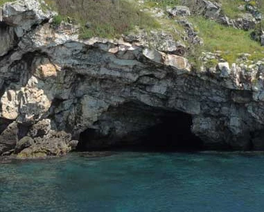
A coastal cave in Tricase recorded by ISPRA as Grotta del Carmine, Pu 925. The sector is rocky and has the usual hazards of sea caves: approach only in favourable conditions and without improvised jumps or entry.
A scenic rocky spur beside Tricase harbour. The coastal plan identifies it as an area of particular natural and landscape interest: it is a viewpoint, not a place for improvised cliff jumps or descents.
A small rocky islet on the Tricase coast north of Tricase Porto. It lies close to shore but should not be presented as an always-safe swim target: distance, currents, wind and boat traffic change conditions.
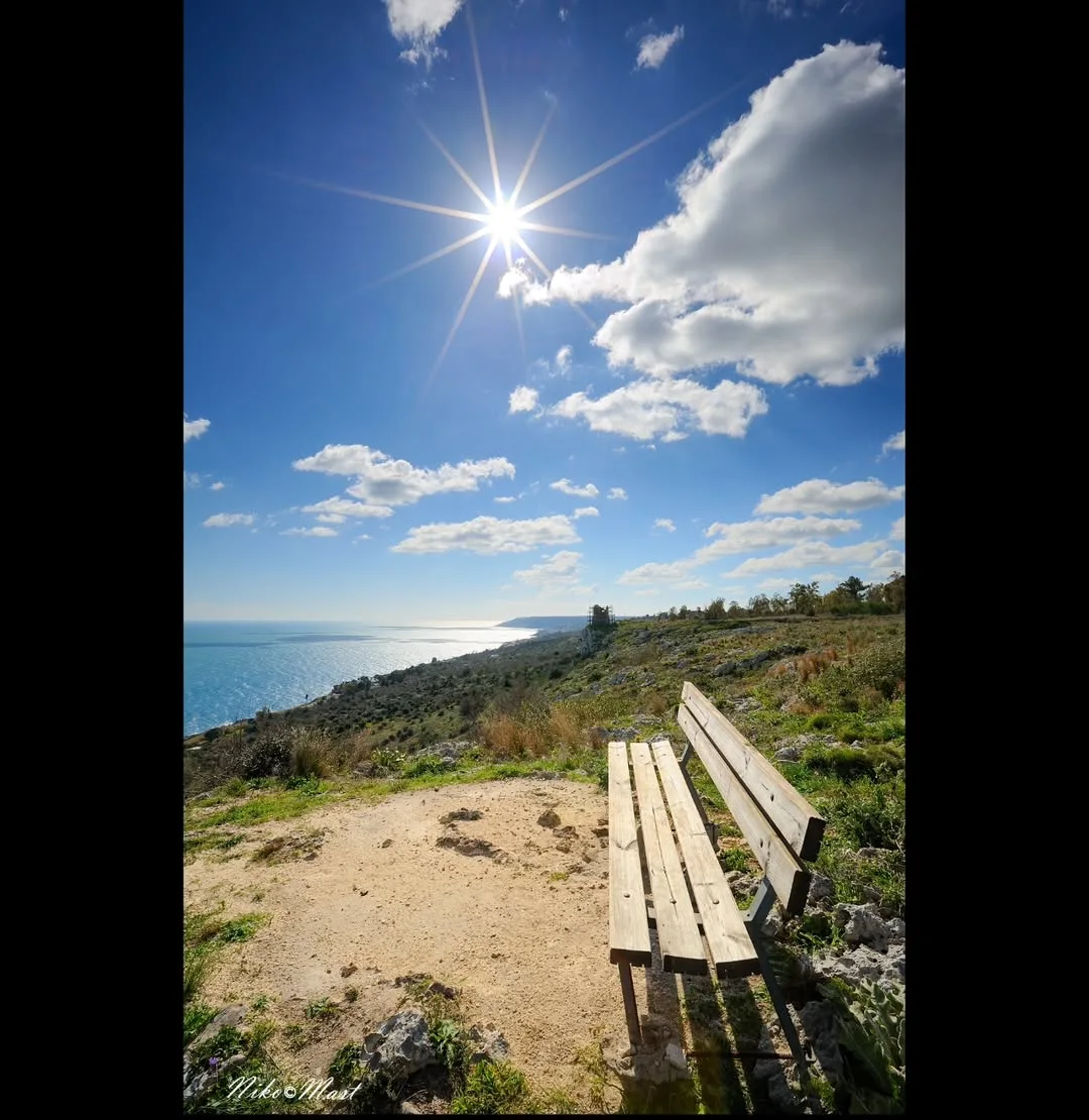
Ruins of the coastal tower on Serra del Mito within the Otranto–Santa Maria di Leuca Coast and Tricase Woods Regional Park. At about 116 metres above sea level, it is reached on hiking routes: do not climb the ruins or approach cliff edges.
Choose a service and view all available businesses and information on its dedicated page.
Navigation follows the parent resort and adjacent coastal places.
Practical information checked for access, setting, safety and services.