The Ciolo bridge
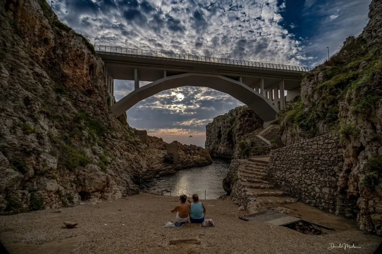
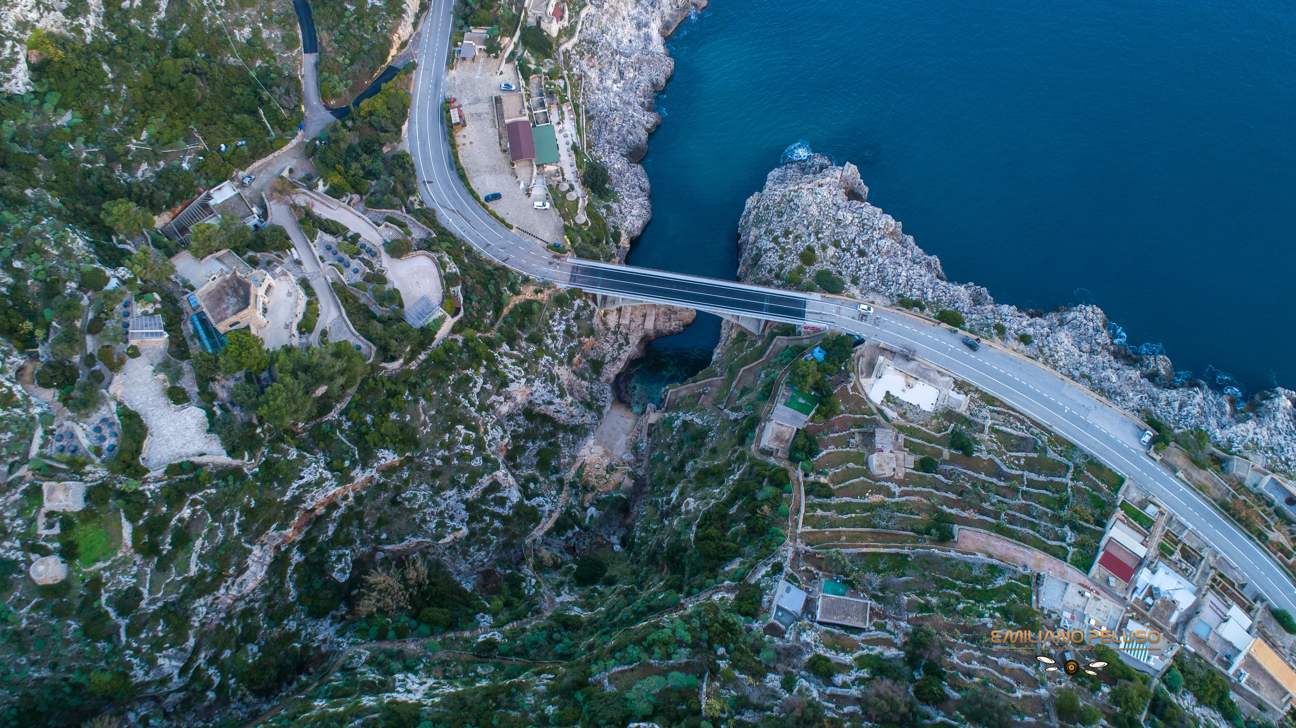
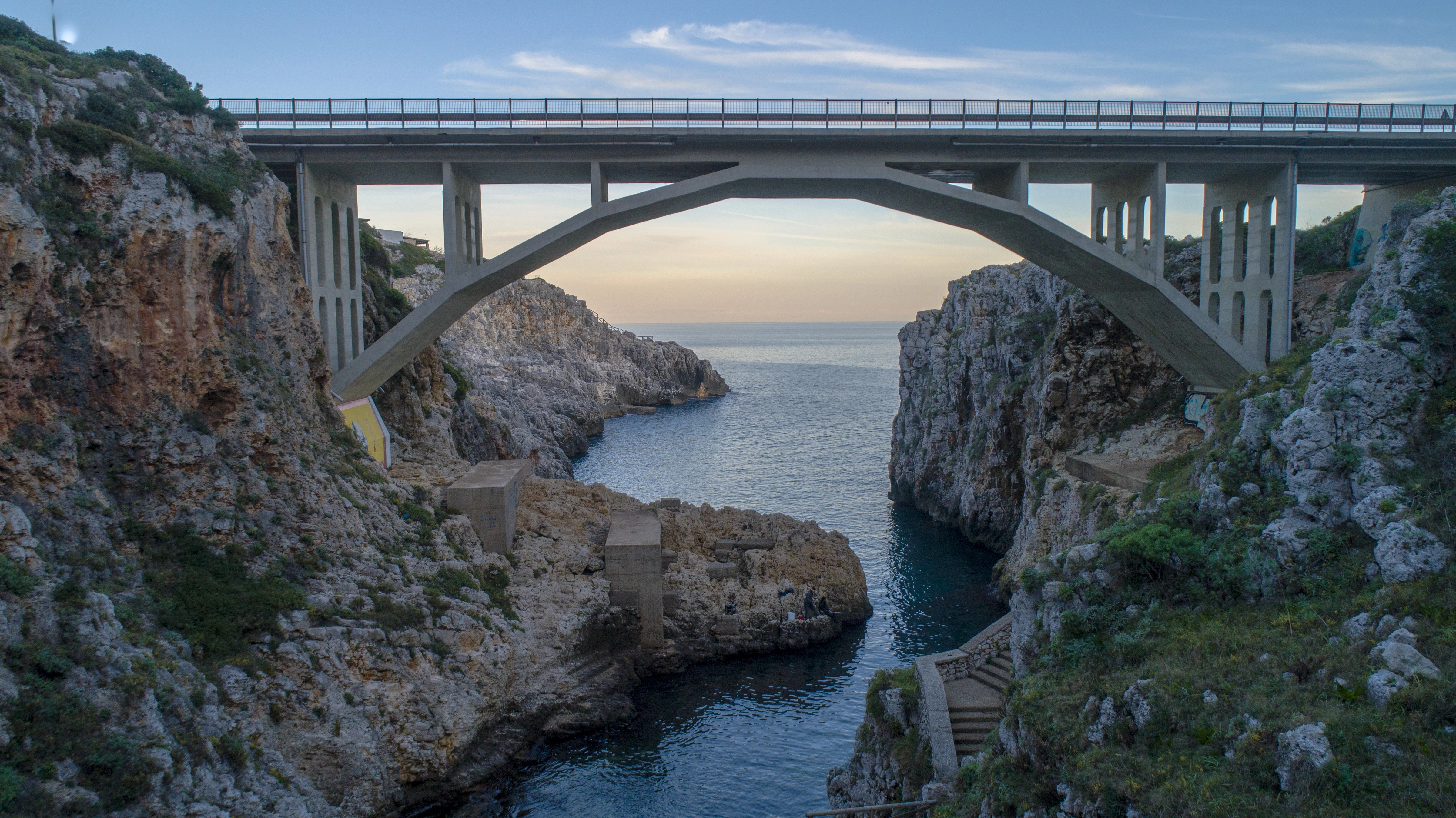
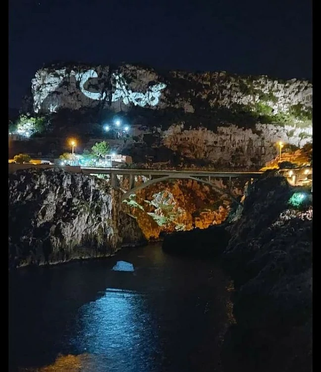
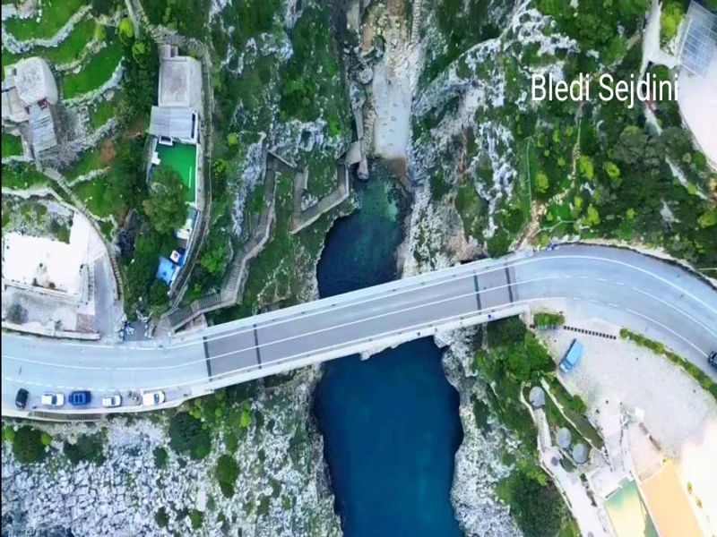
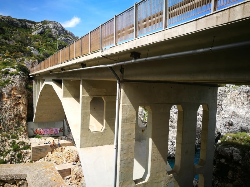
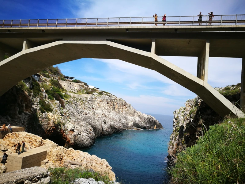
The Municipality of Gagliano del Capo states that the bridge was built in the 1960s to connect the two sides of the Ciolo ravine.
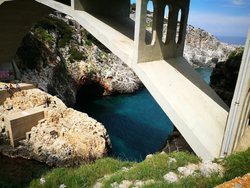
Designed by engineer Antonio La Tegola, the single-span structure provides a panoramic viewpoint over the gorge and the sea.
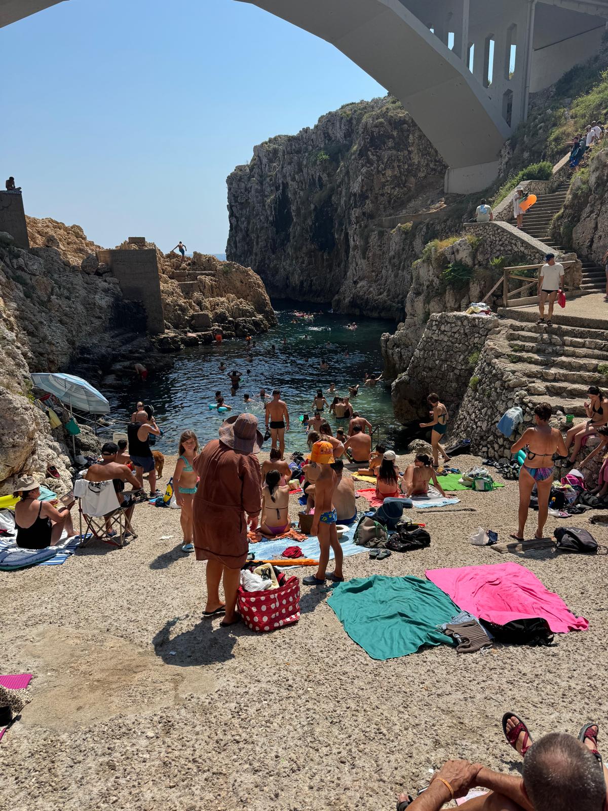
The gorge and the small bay
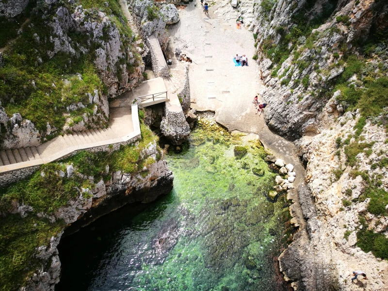
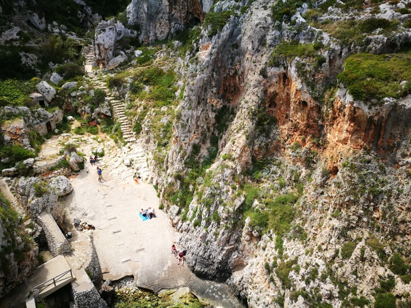
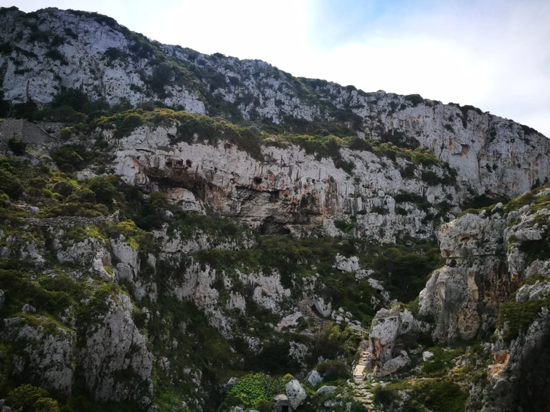
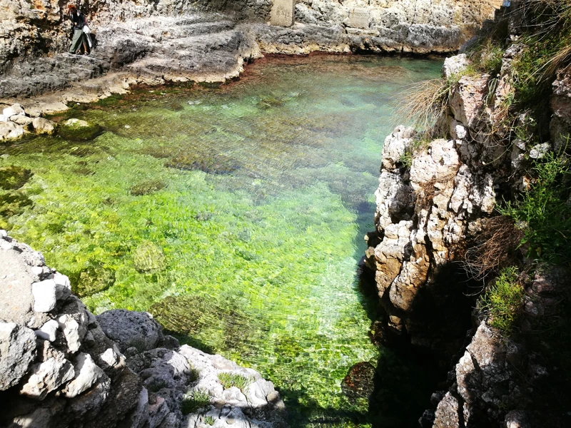
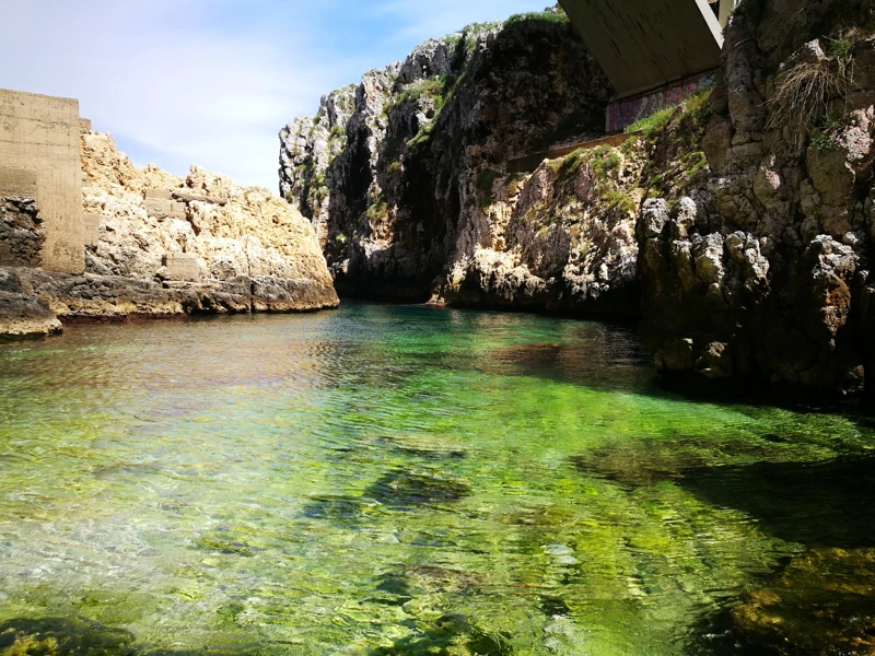
The ravine was formed by the erosive action of water and wind on limestone rock. Its walls descend steeply towards the sea.
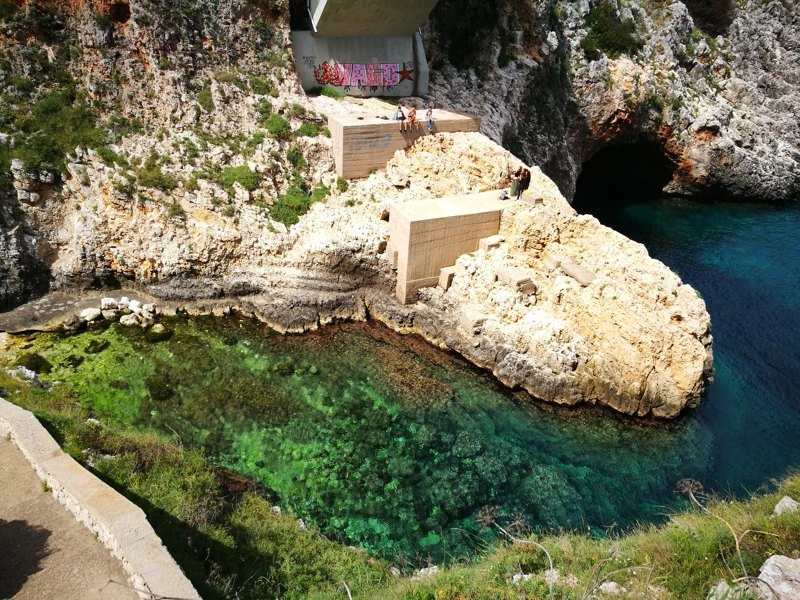
The Sentiero del Ciolo ends at the small rocky bay enclosed by two large cliffs, one of the most recognisable views of the Capo di Leuca.
Trails and Grotte Cipolliane
The Sentiero del Ciolo starts in the Gagliano area and runs for about four kilometres through rocky slopes, dry-stone walls and Mediterranean scrub.
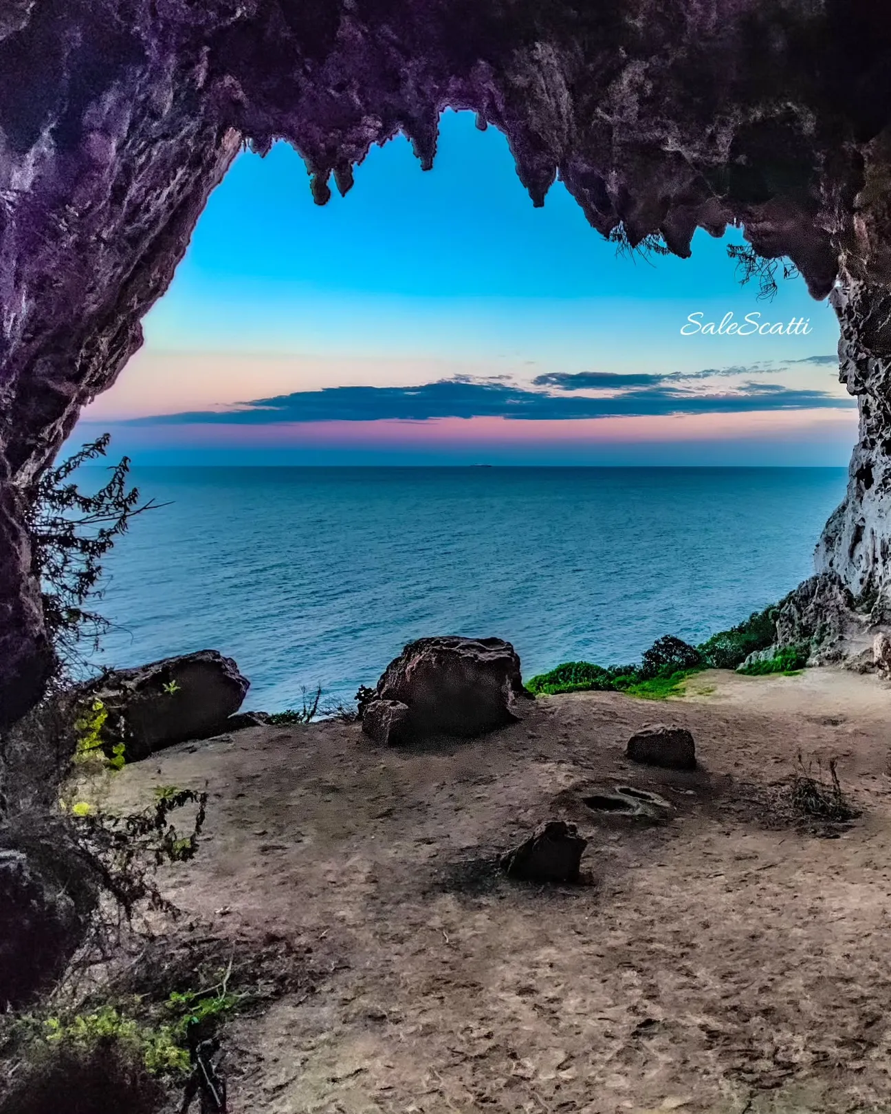
Nearby, the Sentiero delle Cipolliane connects this stretch of coast with Porto Vecchio at Novaglie and crosses a landscape rich in natural caves and prehistoric remains.