Getting there and access
The pin marks the historic headland area. Do not look for an accessible ruin or enter private property.
If an access point is closed or altered, do not improvise shortcuts: use authorised routes only.
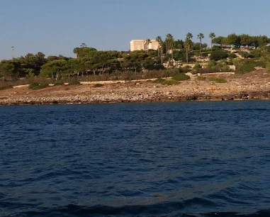
San Gregorio Tower is a historic location rather than a standing monument. Patù’s archaeological survey records a 16th-century tower on the headland, built in 1569 and demolished in 1899 for a house.
Practical information checked for access, sea conditions, services and safety. The municipal archaeological documentation clarifies that the tower was demolished in 1899.
The pin marks the historic headland area. Do not look for an accessible ruin or enter private property.
If an access point is closed or altered, do not improvise shortcuts: use authorised routes only.
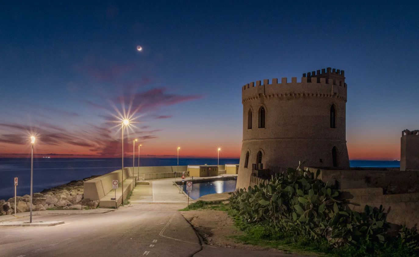
The headland overlooks a mainly rocky Ionian shore; use public marina accesses for bathing.
Before moving away from shore, identify a safe exit point and do not enter if waves or current exceed your ability.
Interesting for visitors combining the sea with local history and archaeology.
Before planning the day, consider access, distance from services, crowding and how easy it will be to get back.
Use marina parking and approach on foot without blocking private entrances; seasonal rules may change.
Do not leave valuables visible in the car and do not occupy verges, access points or unauthorised spaces.
You can approach the headland through the built-up area, but there is no tower visit because the structure has disappeared.
If you have specific mobility needs, check before leaving whether the route is genuinely usable that day.
Do not cross private land or exposed rocks merely to find the former tower site.
If signs or barriers on site are more restrictive than this guide, the instructions on site always take precedence.
The municipal archaeological documentation clarifies that the tower was demolished in 1899.
Before visiting, check whether newer rules have been introduced since this update.
For coastal-history enthusiasts and visitors exploring San Gregorio.
Before deciding, pay particular attention to the access and safety cards, as they can completely change the experience.
Not for visitors expecting a standing tower open to visit.
If one of these limitations is decisive for you, compare a nearby location before setting off.
Comfortable shoes, water and the municipal archaeological survey for context.
Keep your phone and documents in a waterproof case and carry your gear in a compact backpack.
The pin locates the place; check actual access, parking and conditions on site. Coordinates: 39.813150, 18.310900.
The gallery shows the available and verified photographs for this place.
Have you photographed this beach or a beach club located here? Send your image to Salentissimo.it.
The photo and the details you enter will be emailed to the editorial team and checked before possible publication among the photographs of this beach.
Do you own or manage a beach club or bathing establishment? Claim your listing free of charge: email us a photo, a short description, your contact details and a link to your website. We will create an updated card with the information you provide.
Add it free of charge by emailing us the business details.
Add your beach clubContinue along the same stretch of coast with the linked guides.
Do you run a hotel, B&B, residence, holiday home or other accommodation? Claim your listing free of charge: email us a photo, a short description, your contact details and a link to your website. We will create an updated card with the information you provide.
Navigation follows the parent seaside resort and genuinely adjacent coastal places.
Access, sea, parking, families, services and safety.