Panoramic headland, not a beach
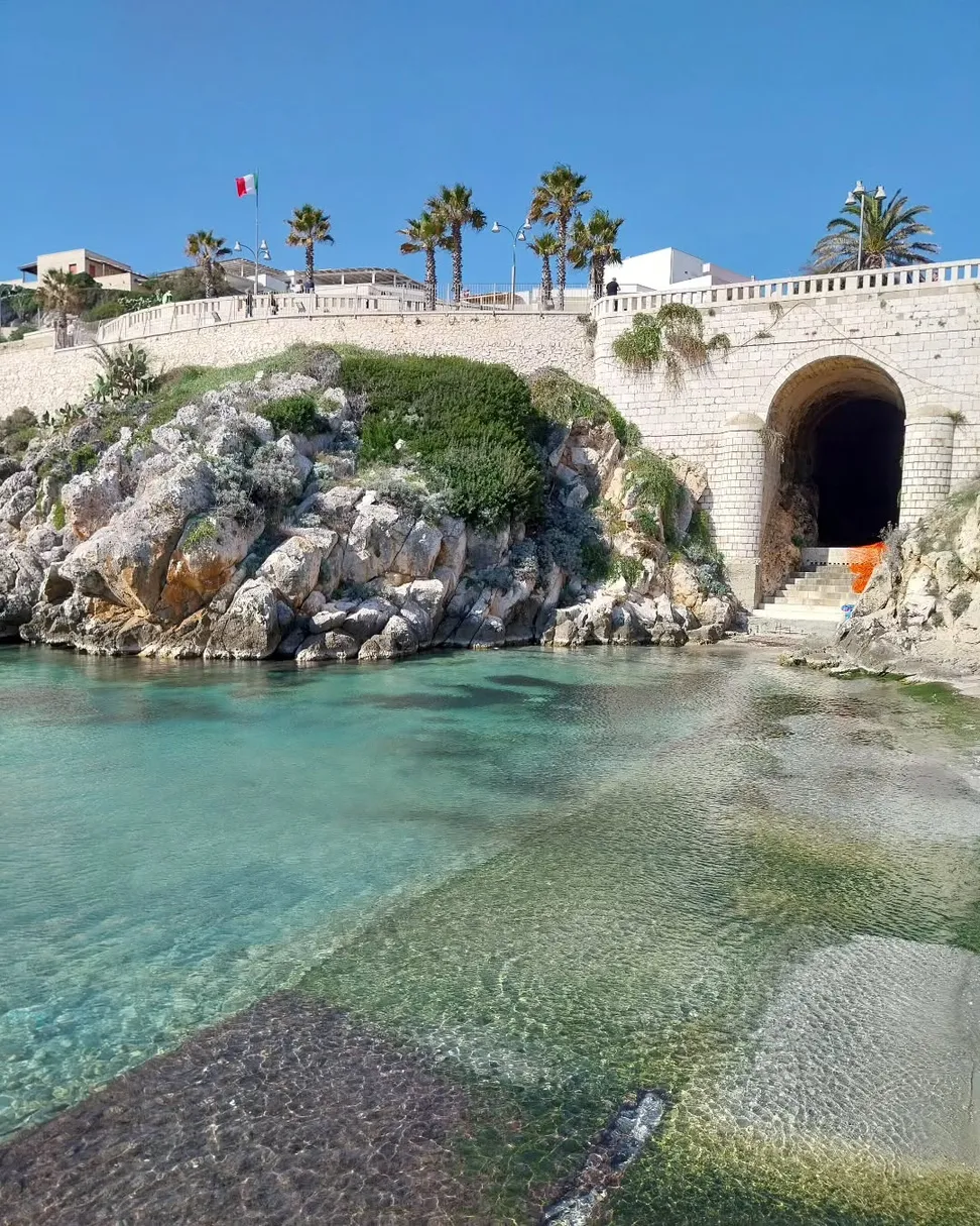
Pizzo Mucurune is the karst headland closing Castro’s bay to the east. Its main visitor appeal is the landscape and official short hiking trail.
Do not treat it as a conventional beach or sea-access point.
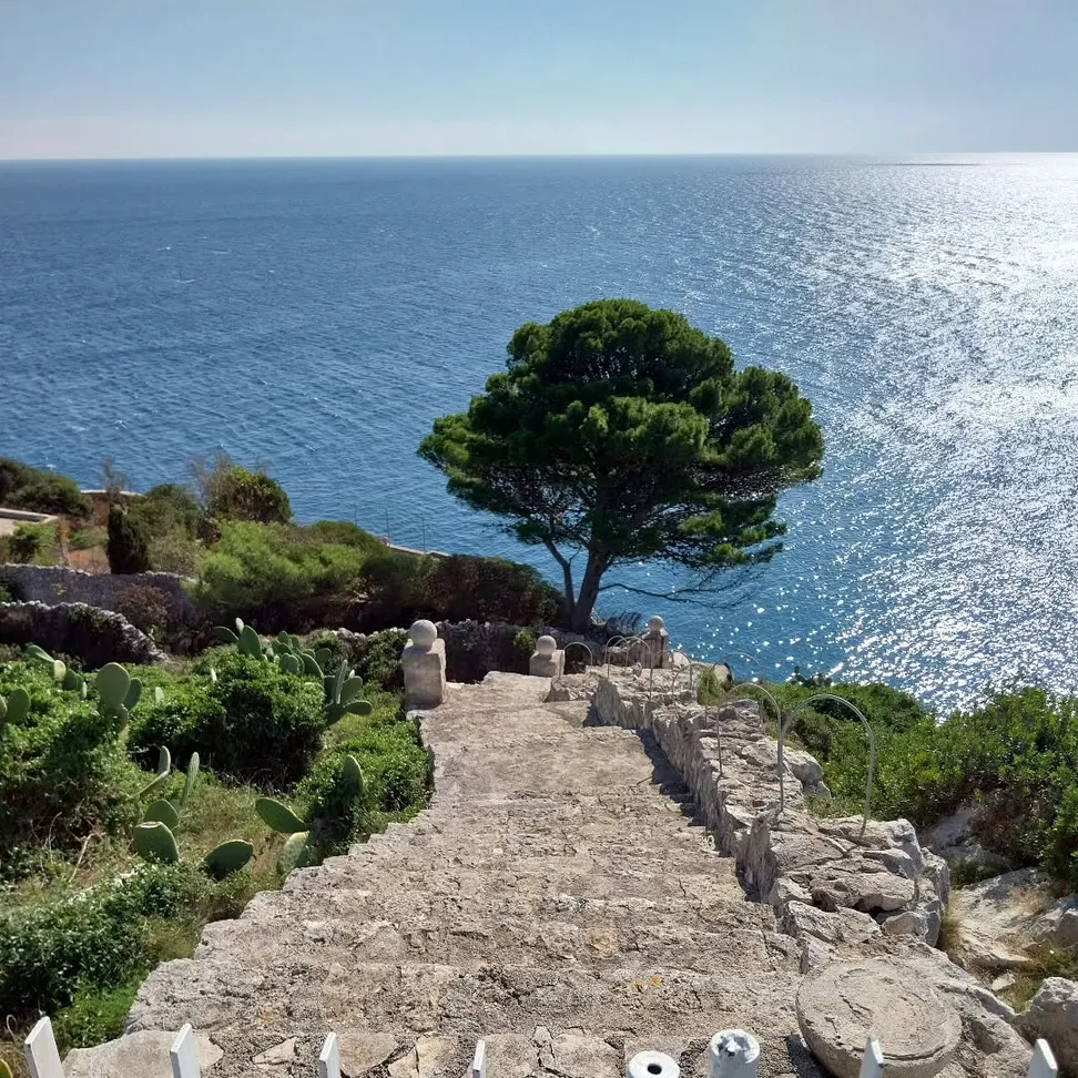
A short panoramic trail leads from the coastal road to the karst headland above Castro’s bay, passing dry-stone walls, terraced olive trees and the Folgore Chapel.
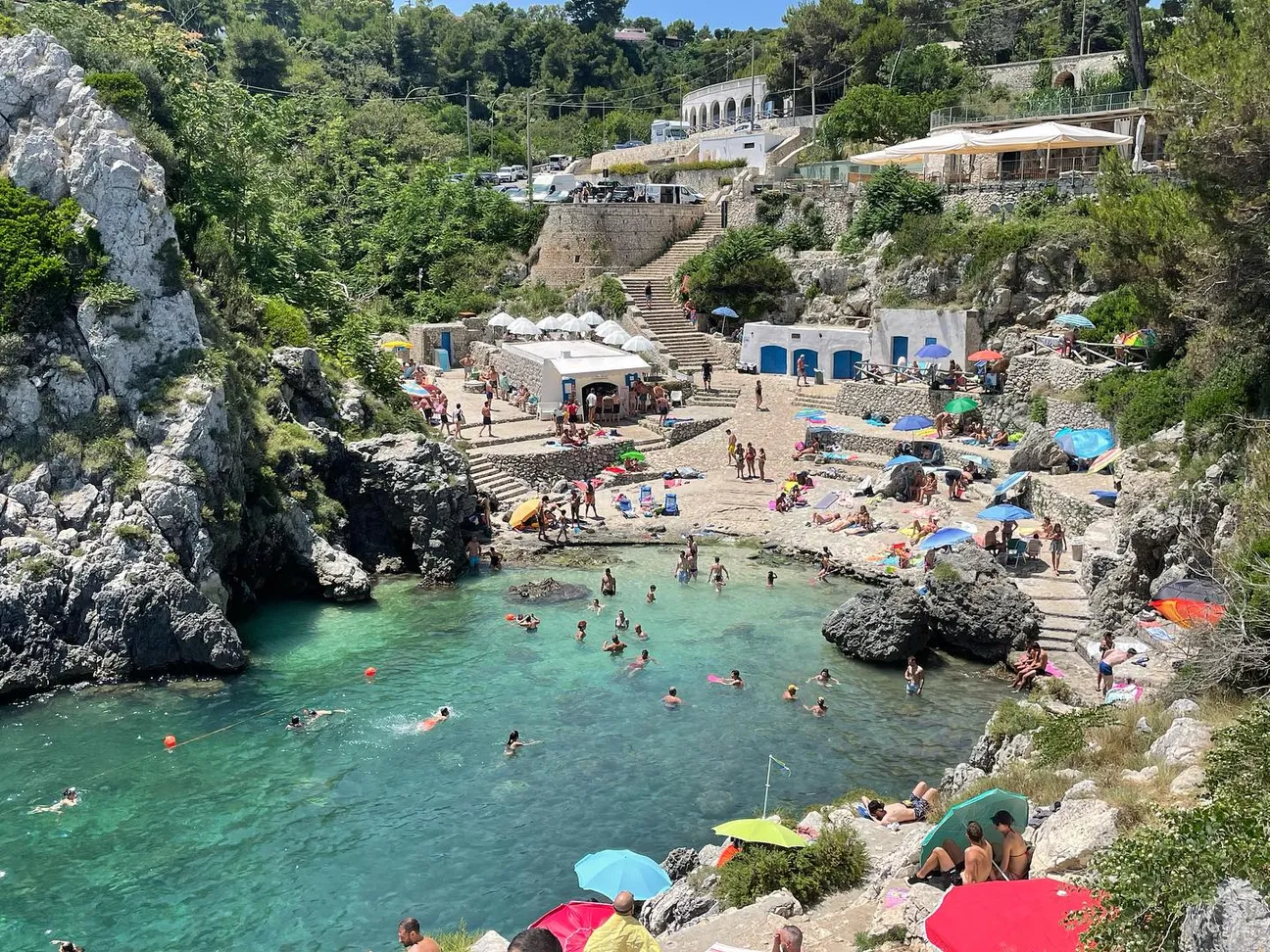
The old page also described it as a swimming spot. The Regional Park sources instead document a panoramic cliff trail, so this guide does not promise unverified sea access.
Pizzo Mucurune is the karst headland closing Castro’s bay to the east. Its main visitor appeal is the landscape and official short hiking trail.
Do not treat it as a conventional beach or sea-access point.
The Regional Park gives a 408 m route from the SP358 to the point, with an indicative walking time of about 9 minutes. It starts semi-urban and continues on an old track between dry-stone walls and terraced olive plots.
Nine minutes is the technical walking estimate and does not include stops.
The route is rated Tourist–Hiking. Elevation ranges from about 62 to 15 m with roughly 49 m of descent.
Closed shoes with good grip are preferable.
After the Folgore Chapel the path follows the karst cliff towards the point. The Park explicitly reminds walkers that using the trail requires personal responsibility.
Stay on the path, keep away from the edge and be extra cautious in strong wind or on slippery ground.
About 160 m from the start you reach the Folgore Chapel, a recognisable historical landmark before the final section.
It is a stop on the trail, not a serviced picnic or bathing area.
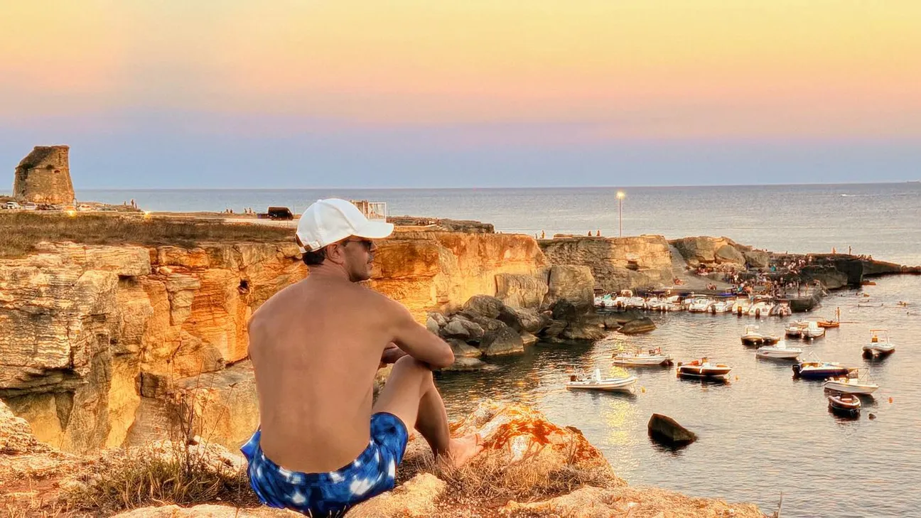
The point overlooks the bay, harbour and rocky profile of Castro, making it particularly good for landscape photography.
In summer, avoid the hottest hours for a more comfortable walk.
The old page discussed deep water and swimming, but the Park sources describe Mucurune as a panoramic cliff trail rather than a sea descent.
Use Castro Marina’s documented sea-access points instead.
The trail is short, but its final section runs along the cliff. It is not a play area and the natural landscape does not provide continuous protection.
Keep them close and assess wind, heat and ground conditions.
The old track, gradients and cliff environment mean it should not be presented as wheelchair- or pushchair-accessible.
Use easier urban viewpoints in upper Castro or along the waterfront.
The official trail starts from the SP358 coastal road. The Park does not document a dedicated car park at the point.
Park only where permitted and do not block roads or private access.
Closed shoes, water, hat, sunscreen and a charged phone. The exposed section can be very hot in summer.
Travel light, keep hands free and avoid flip-flops.
The pin marks Pizzo Mucurune on the eastern side of Castro’s bay. The mapped coordinates used are 39.99968, 18.43085.
Dry-stone walls, Mediterranean vegetation, the Folgore Chapel and views over the bay define the landscape.
Have you photographed this beach or a beach club located here? Send your image to Salentissimo.it.
The photo and the details you enter will be emailed to the editorial team and checked before possible publication among the photographs of this beach.
Do you own or manage a beach club or bathing establishment? Claim your listing free of charge: email us a photo, a short description, your contact details and a link to your website. We will create an updated card with the information you provide.
Continue towards Castro waterfront and Porto di Enea or explore the sea caves along the coast.
Castro Marina’s rocky waterfront, with harbour, promenade and several sea-access points.
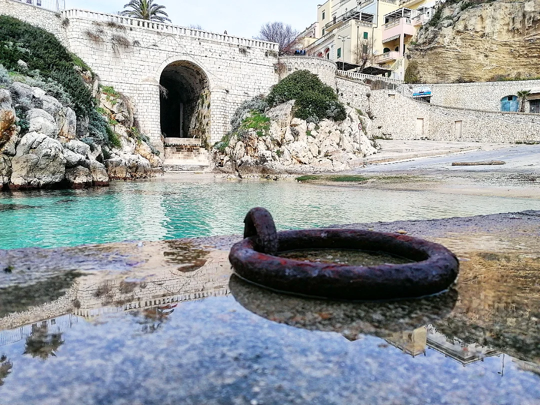
Open guide HarbourCastro Marina’s small harbour, a useful reference for coastal views and boat trips.
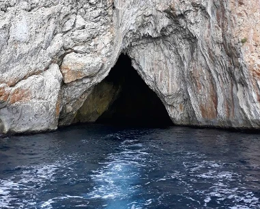
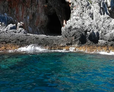
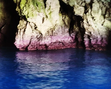
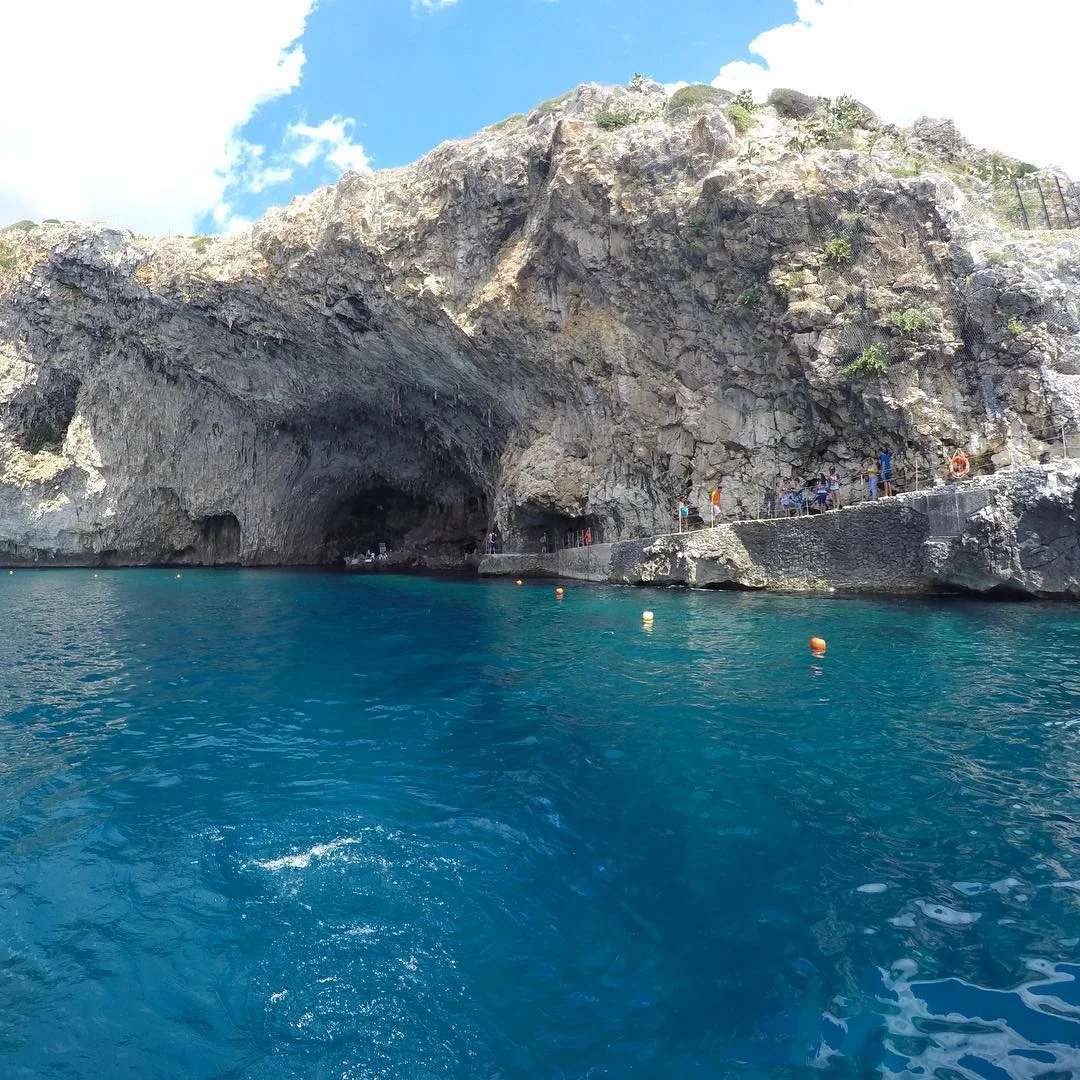
Open guide Sea caveOne of Castro’s large sea caves, experienced differently from the Pizzo Mucurune hiking trail.
Open guideDo you run a hotel, B&B, residence, holiday home or other accommodation? Claim your listing free of charge: email us a photo, a short description, your contact details and a link to your website. We will create an updated card with the information you provide.
Return to Castro or continue towards Marina di Marittima and Porto Miggiano.
Route, difficulty, cliffs, children, swimming, parking and equipment.