Identity and location
Canuta is the southernmost stretch of Marine di Torchiarolo, between Lendinuso and the Casalabate boundary.
Use the map point and recognised public access.
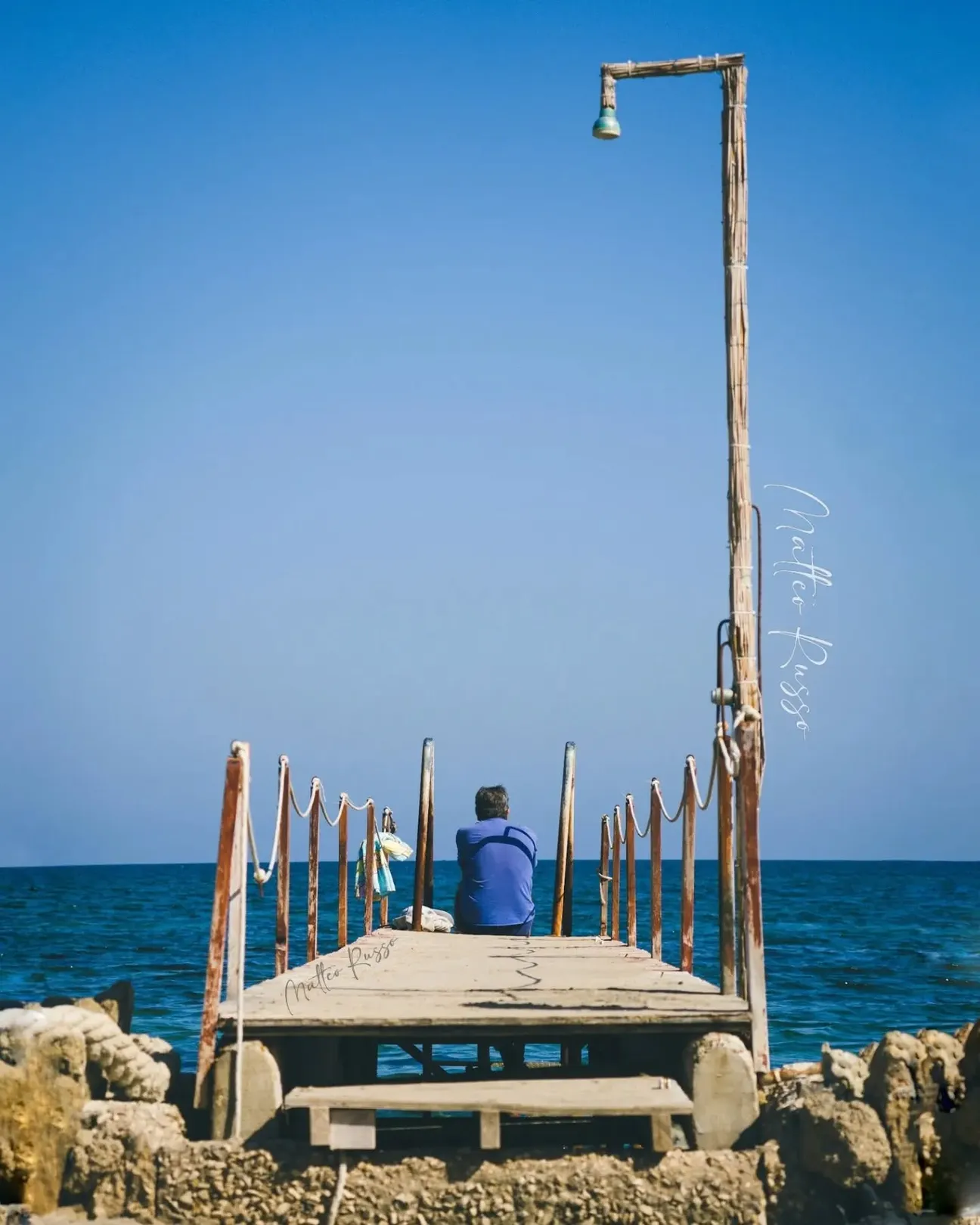
The southernmost stretch of Torchiarolo has a low sandy beach, fragile dunes and a coastline whose width changes with erosion and storms.
Characteristics and practical guidance for a responsible visit.
Canuta is the southernmost stretch of Marine di Torchiarolo, between Lendinuso and the Casalabate boundary.
Use the map point and recognised public access.
The low sandy beach has variable width, fragile dunes and visible signs of coastal erosion.
Check the usable shore before settling in.
The sandy entry may be gradual, but waves and hollows can change depth locally.
Enter slowly and check depth and footing.
Dunes and coastal vegetation are fragile and have been affected by development and erosion.
Protect dunes, vegetation and historic traces.
Local roads reach the Canuta area; parking becomes limited in summer.
Check the route and parking before carrying equipment.
The sandy stretch may suit families in calm seas after checking entry and depth.
Choose the safest stretch and supervise children continuously.
Visitors seeking a sandy beach in the southern part of Torchiarolo.
Visit in calm weather and good light.
Anyone needing guaranteed year-round services or an always wide, uniform beach.
Choose a simpler nearby sandy beach if necessary.
Water, shade, sun protection, comfortable footwear and a litter bag.
Take every item of litter away.
Images will be added only after the place has been checked directly.
Have you photographed this beach or a beach club located here? Send your image to Salentissimo.it.
The photo and the details you enter will be emailed to the editorial team and checked before possible publication among the photographs of this beach.
Beach clubs and bathing establishments linked to this location.
Add it to the portal for free.
Add beach clubDiscover the other beaches and places belonging to the same seaside area.
A mainly sandy urban beach follows the Lendinuso seafront as far as the Canale Infocaciucci area.
The engineered mouth of the Canale Infocaciucci marks the coastal transition between Lendinuso and Cipolla.
Between Infocaciucci and Lido Presepe, Cipolla combines sandy-calcarenite cliffs, rocks, pebbles and a coast affected by erosion.
Lido Presepe alternates a low cliff, a sandy-pebbly shore and low rock before the natural Quatina dune and wetland system.
Between Lido Presepe and Torre San Gennaro, the beach and dunes protect the Quatina back-dune wetland fed by Canale Pilella.
The northernmost resort includes sandy beaches, La Rotonda and the stretch known as Mare te le Fimmine towards Campo di Mare.
Choose a service and view all available businesses and information on its dedicated page.
Discover nearby resorts along the Adriatic coast of Salento.
Quick answers to help plan your visit.