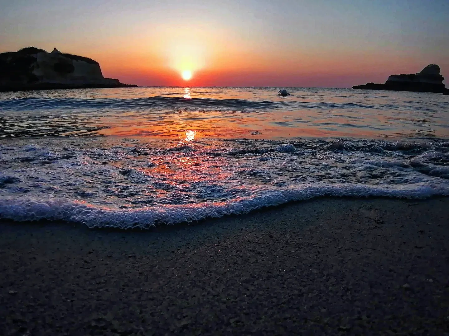
What this place is
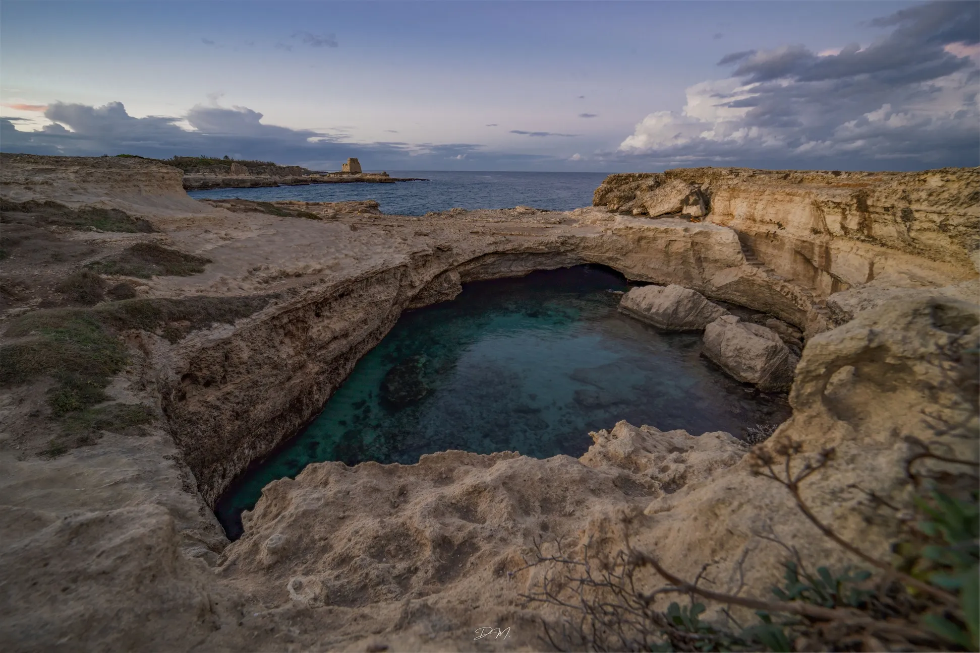
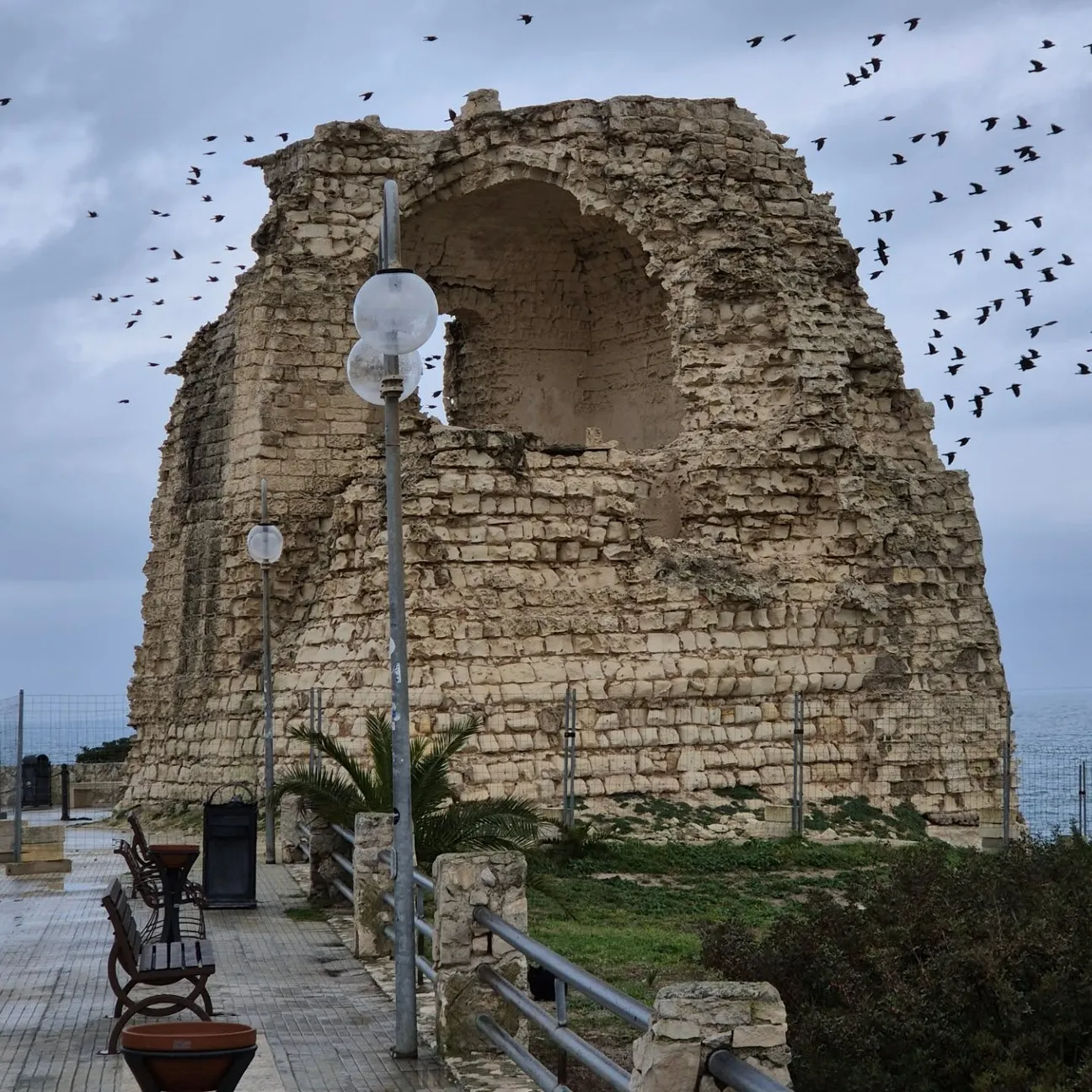
A 16th-century coastal watchtower ruin on the northern headland of the bay.
Use the map and the following cards to decide whether this spot really suits the kind of visit you want.
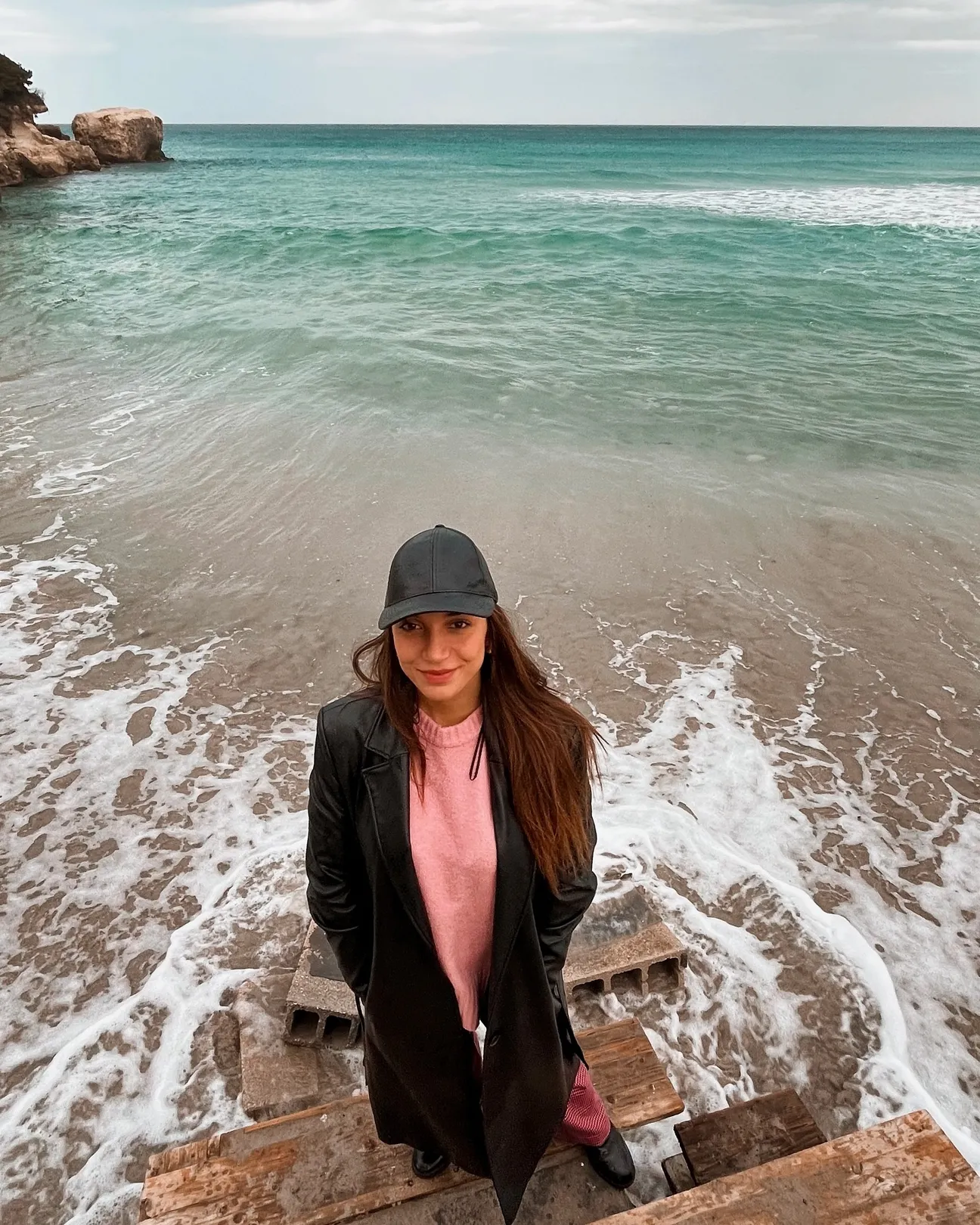
A 16th-century coastal watchtower ruin on the northern headland of the bay. Reach the headland from Torre dell’Orso using local roads and walking routes. Do not assume the ruin can be entered: respect fences and signs.
Checked practical information on access, setting, safety, services and current conditions.
A 16th-century coastal watchtower ruin on the northern headland of the bay.
Use the map and the following cards to decide whether this spot really suits the kind of visit you want.
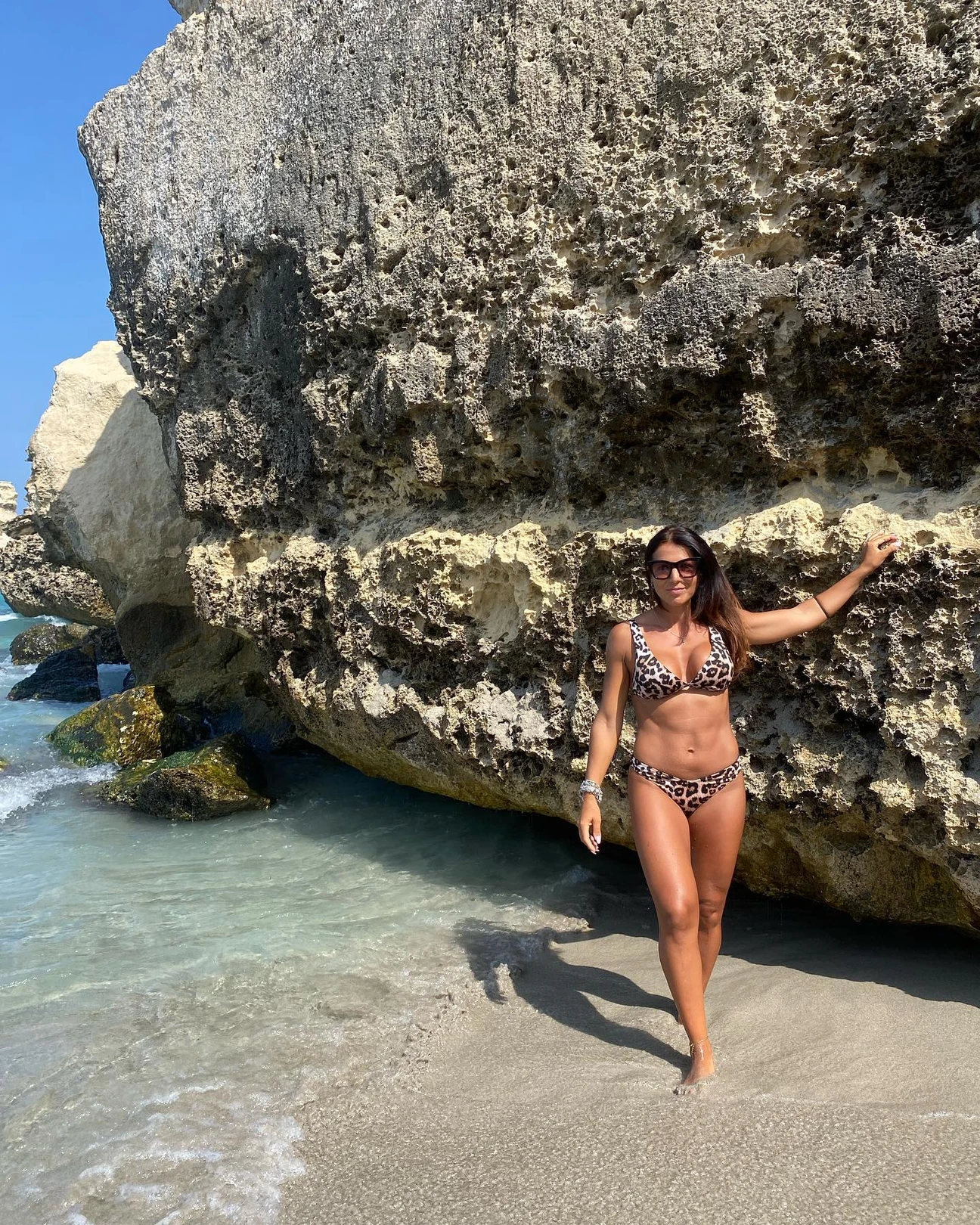
Reach the headland from Torre dell’Orso using local roads and walking routes. Do not assume the ruin can be entered: respect fences and signs.
If an access point is closed or altered, do not improvise shortcuts: use authorised routes only.
The tower overlooks Torre dell’Orso’s sandy bay, but the tower itself stands on high rocky coast: it is not a beach or a normal sea-access point.
Before moving away from shore, identify a safe exit point and do not enter if waves or current exceed your ability.
Good for a scenic walk with older children, but cliff edges require constant supervision. For family bathing, the bay’s beach is far more suitable.
Before planning the day, consider access, distance from services, crowding and how easy it will be to get back.
Use parking in the resort; demand is high in July and August. No dedicated parking beside the tower is guaranteed.
Do not leave valuables visible in the car and do not occupy verges, access points or unauthorised spaces.
Bars, restaurants and other services are in Torre dell’Orso itself, not on the ruin’s headland.
Bring water and a small snack anyway, especially on free or natural stretches.
The urban approach can be straightforward, but the final ground and viewpoints have not been verified as an equipped accessible route.
If you have specific mobility needs, check before leaving whether the route is genuinely usable that day.
No cliff jumping and no climbing on the ruin. Keep away from unstable edges and follow any local restrictions.
If signs or barriers on site are more restrictive than this guide, the instructions on site always take precedence.
The bay is very busy in high season and Torre dell’Orso is among Melendugno’s 2026 Blue Flag coastal areas; the award concerns the bathing locality, not access to the tower.
If actual conditions differ from those described, always follow the instructions on site.
Local history, photography, views and walking.
Before deciding, pay particular attention to the access and safety cards, as they can completely change the experience.
Anyone seeking direct bathing access, pushchair-friendly final terrain or a monument with guaranteed interior access.
If one of these limitations is decisive for you, compare a nearby location before setting off.
Comfortable shoes, water, sun protection and a camera; do not approach cliff edges just for a photo.
Keep your phone and documents in a waterproof case and carry your gear in a compact backpack.
The pin marks the map reference point. Coordinates: 40.274506, 18.430146.
The gallery uses Salentissimo database photos already associated with this place.
Have you photographed this beach or a beach club located here? Send your image to Salentissimo.it.
The photo and the details you enter will be emailed to the editorial team and checked before possible publication among the photographs of this beach.
Do you own or manage a beach club or bathing establishment? Claim your listing free of charge: email us a photo, a short description, your contact details and a link to your website. We will create an updated card with the information you provide.
Add it free of charge by emailing us the business details.
Add your beach clubUseful nearby places for continuing along the same coastal stretch.
Do you run a hotel, B&B, residence, holiday home or other accommodation? Claim your listing free of charge: email us a photo, a short description, your contact details and a link to your website. We will create an updated card with the information you provide.
Navigation follows the parent seaside locality and neighbouring coastal areas.
Practical answers on access, features, services and safety.