Getting there and access
This is a scenic roadside landmark: stop only in safe, permitted spaces and never on the carriageway.
If an access point is closed or altered, do not improvise shortcuts: use authorised routes only.
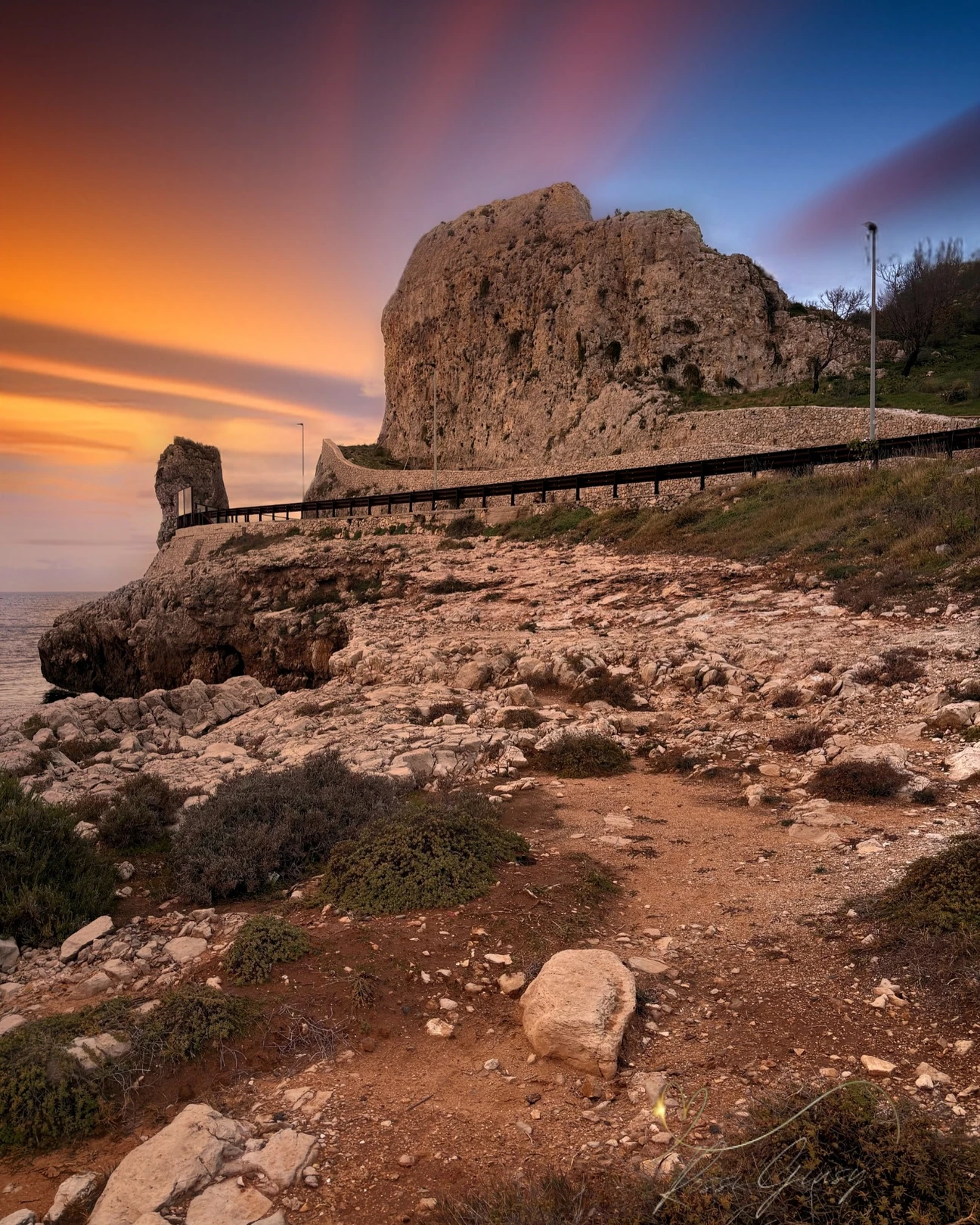
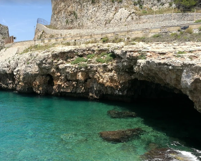
Montagna Spaccata is the rock formation cut through by the coastal road on Galatone’s short shoreline. The municipal coastal plan treats this complex rocky sector as partly unsuitable for bathing without access and safety works, so this guide presents it mainly as a scenic landmark.
Practical information checked for access, sea conditions, services and safety. The municipal coastal plan distinguishes usable stretches from dangerous or poorly accessible ones; Montagna Spaccata should not be presented as an invitation to swim or cliff-jump.
This is a scenic roadside landmark: stop only in safe, permitted spaces and never on the carriageway.
If an access point is closed or altered, do not improvise shortcuts: use authorised routes only.
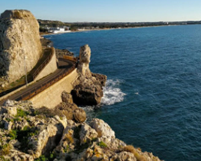
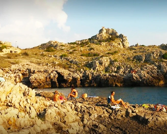
Rocky coast with an irregular seabed, often deep close to the cliffs. Rough seas can make entry and especially exit difficult.
Before moving away from shore, identify a safe exit point and do not enter if waves or current exceed your ability.
Suitable as a family sightseeing or historical stop, but it is not a serviced bathing area.
Before planning the day, consider access, distance from services, crowding and how easy it will be to get back.
Do not rely on a dedicated car park: stop only in authorised spaces and never narrow the road.
Do not leave valuables visible in the car and do not occupy verges, access points or unauthorised spaces.
The view can be enjoyed from the road or nearby points, but a fully accessible coastal route has not been verified.
If you have specific mobility needs, check before leaving whether the route is genuinely usable that day.
Watch both coastal-road traffic and the cliff edge; do not stop abruptly on the road or jump from the rocks.
If signs or barriers on site are more restrictive than this guide, the instructions on site always take precedence.
Best as a scenic and photographic stop along the coast.
Before deciding, pay particular attention to the access and safety cards, as they can completely change the experience.
Less suitable as a stand-alone bathing destination or for long roadside stops.
If one of these limitations is decisive for you, compare a nearby location before setting off.
Comfortable shoes, water in hot weather and a camera.
Keep your phone and documents in a waterproof case and carry your gear in a compact backpack.
The gallery shows the available and verified photographs for this place.
Have you photographed this beach or a beach club located here? Send your image to Salentissimo.it.
The photo and the details you enter will be emailed to the editorial team and checked before possible publication among the photographs of this beach.
Beach clubs and bathing establishments linked to this location.
Add it to the portal for free.
Add beach clubContinue along the same stretch of coast with the linked guides.
Santa Maria al Bagno’s small urban beach lies in the centre of the resort, close to the square and services. It is compact and very busy in summer; water can be shallow near shore, but available space and sea conditions change quickly at peak times.
Low rocky coast beside the remains of Torre del Fiume di Galatena: clear water, rocky seabed, a nearby freshwater spring and an urban setting with services within easy reach.
The museum dedicated to the reception camp and the Jewish refugees hosted in Santa Maria al Bagno after the war.
La Reggia is a genuine section of Galatone’s short municipal coastline, between the Nardò side and Montagna Spaccata. The municipal coastal plan describes Galatone’s shore as entirely rocky limestone/dolomite; the pin marks the sector rather than a certified access point.
Choose a service and view all available businesses and information on its dedicated page.
Navigation follows the parent seaside resort and genuinely adjacent coastal places.
Access, sea, parking, families, services and safety.