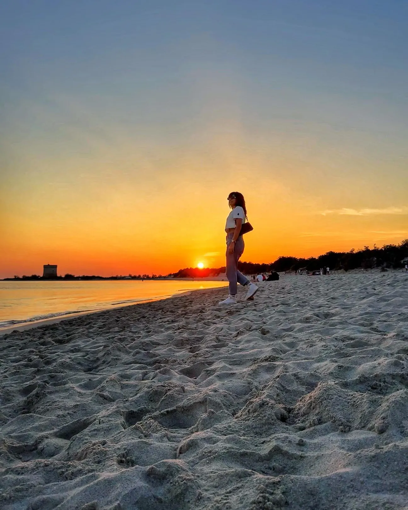
Porto Cesareo in Puglia, Salento
Puglia · Salento · Ionian coast

Porto Cesareo

A seaside town overlooking sandy beaches, shallow waters, islands and coastal towers, in the heart of one of Puglia’s main marine protected areas.

Beaches, islands and history on the Ionian coast

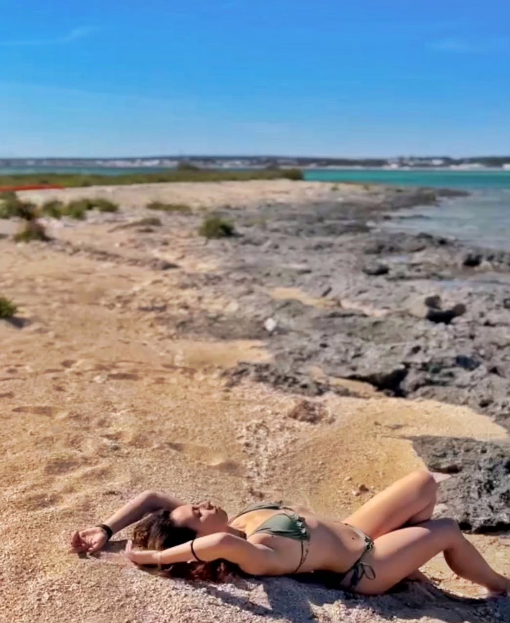
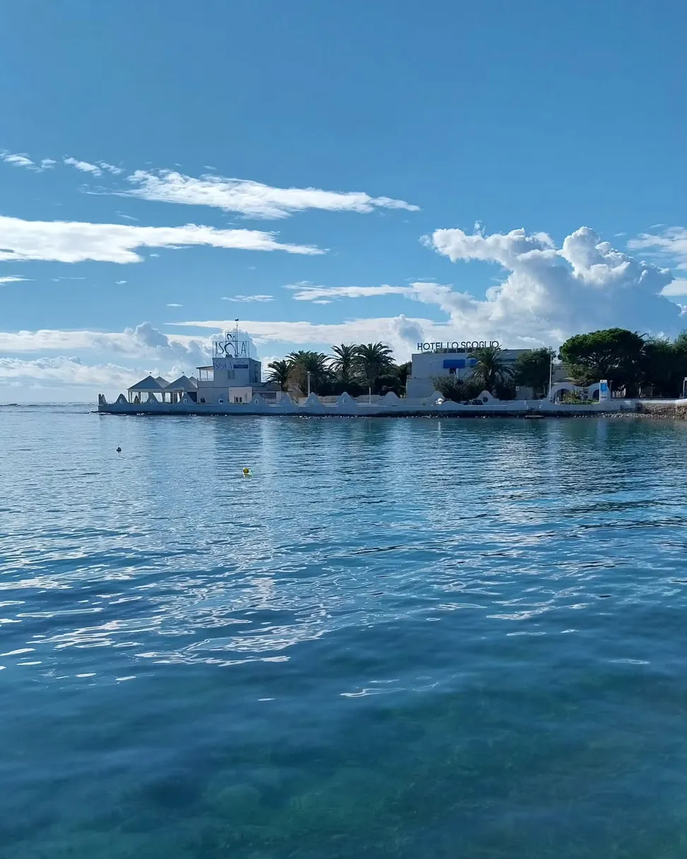
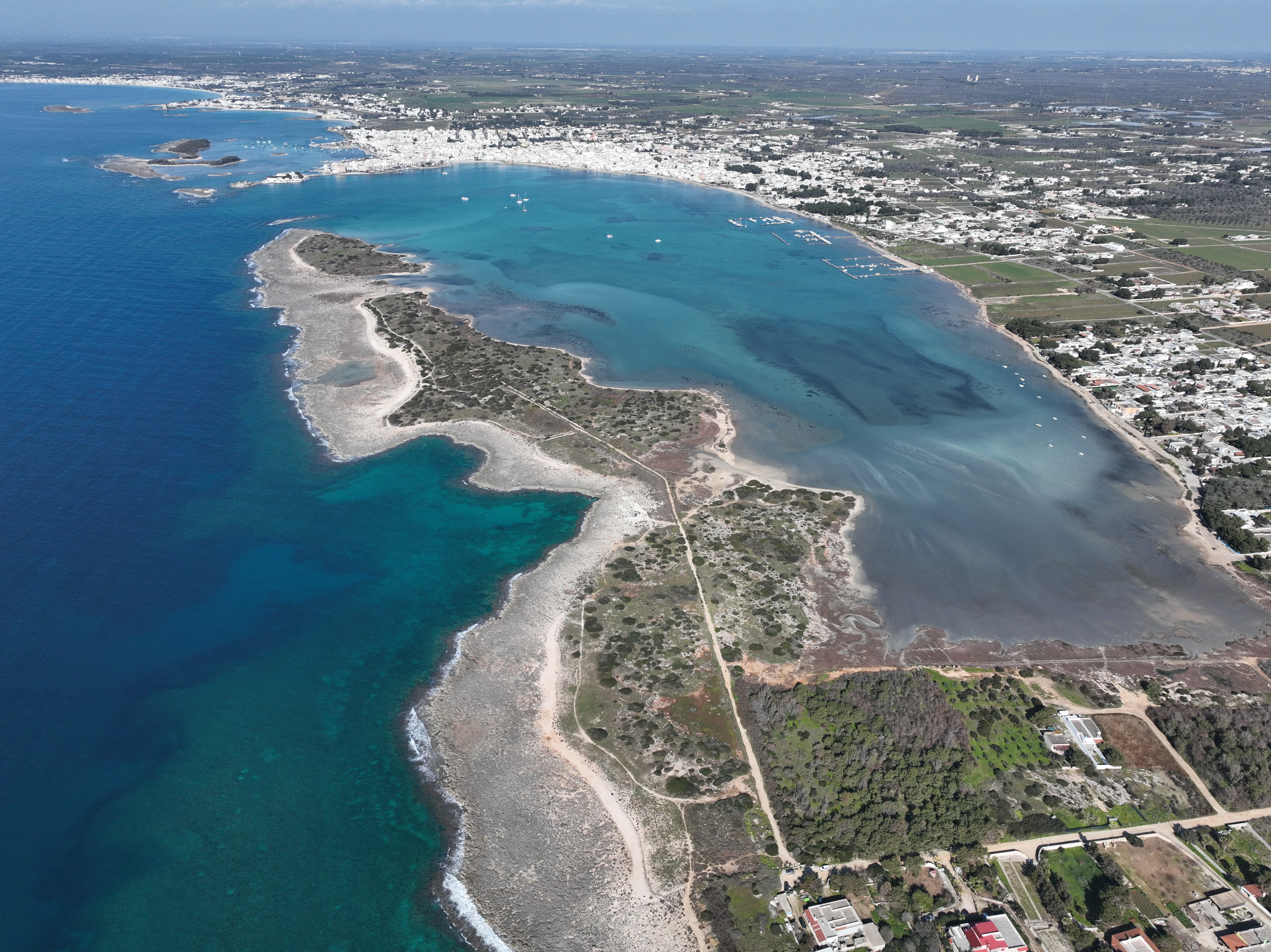
Porto Cesareo is a municipality on Salento’s Ionian coast, between Torre Lapillo to the north and the territory of Nardò to the south. Its coastline includes pale sandy beaches, shallow waters, dunes, small islands and stretches closely linked to harbour life and fishing.

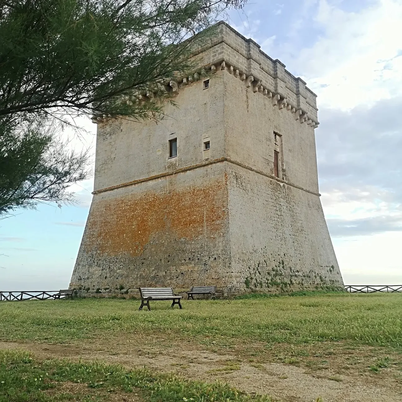
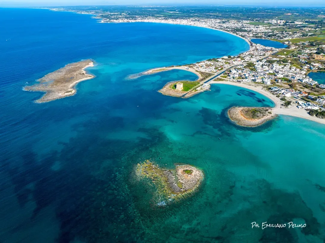
Just offshore from the town lies Isola Grande, commonly known as Isola dei Conigli. Farther north, Torre Chianca overlooks a stretch of sea that also preserves submerged archaeological remains; to the south lies the long La Strea peninsula.

Municipality Porto Cesareo · Province of Lecce
Coast Ionian coast
Landscape Beaches, islands, dunes, harbour and coastal towers

Discover Porto Cesareo

The coastline, Isola dei Conigli, the history of the harbour and the coastal towers.

Beaches, shallow waters and islands

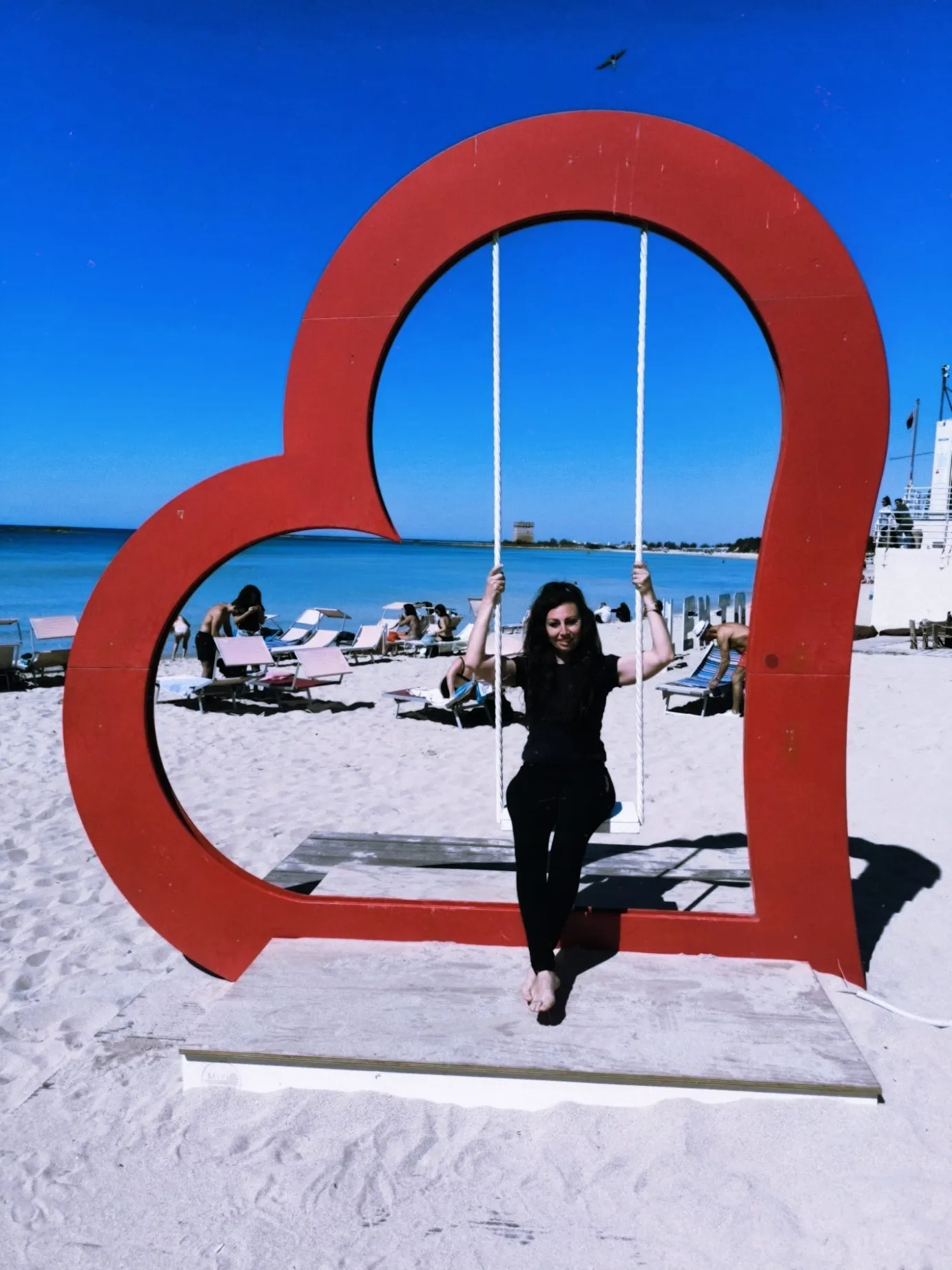
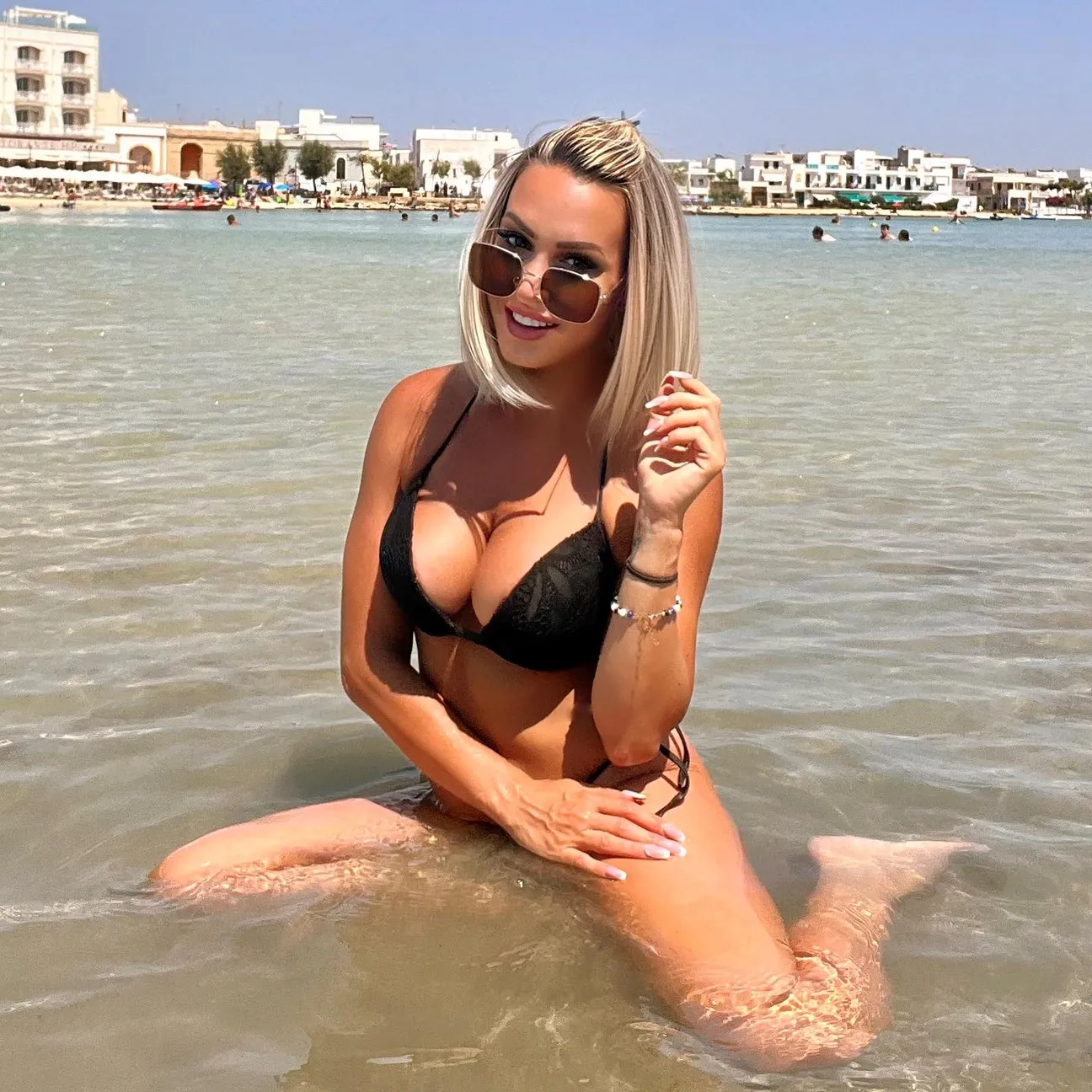
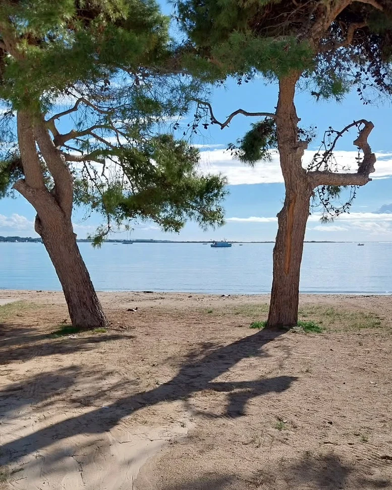
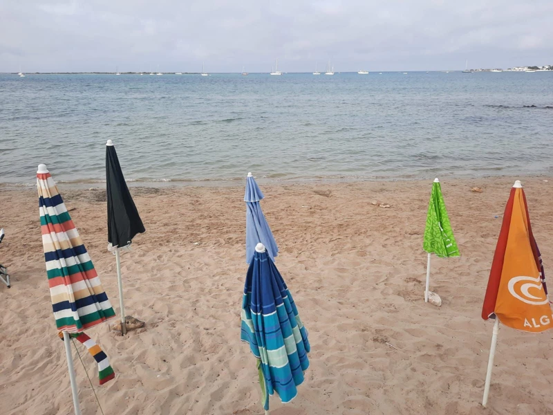
The Puglia Region describes Porto Cesareo as a coastline of soft white beaches, dunes covered with Mediterranean scrub and mainly sandy, shallow seabeds. Beach clubs and free public beaches alternate along the coast.

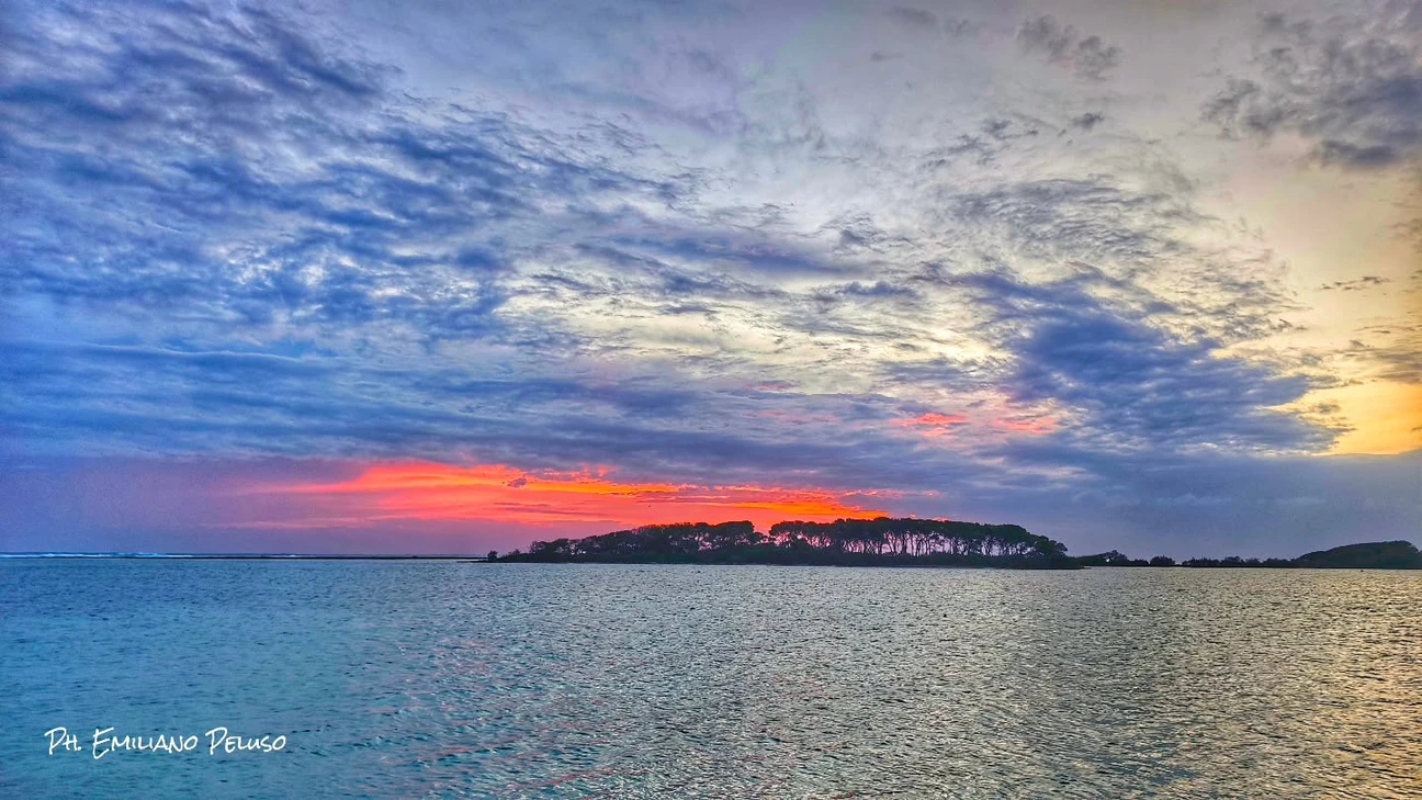
Isola Grande, known as Isola dei Conigli, lies just offshore from the town. The Municipality considers it an important landscape and ecological asset and in 2026 launched measures to protect its flora, fauna, paths and degraded areas.

Marine Protected Area and underwater heritage

The Porto Cesareo Marine Protected Area is divided into zones A, B and C, each with different levels of protection and permitted use. Zones B and C make up most of the protected area and allow various activities in accordance with conservation rules.

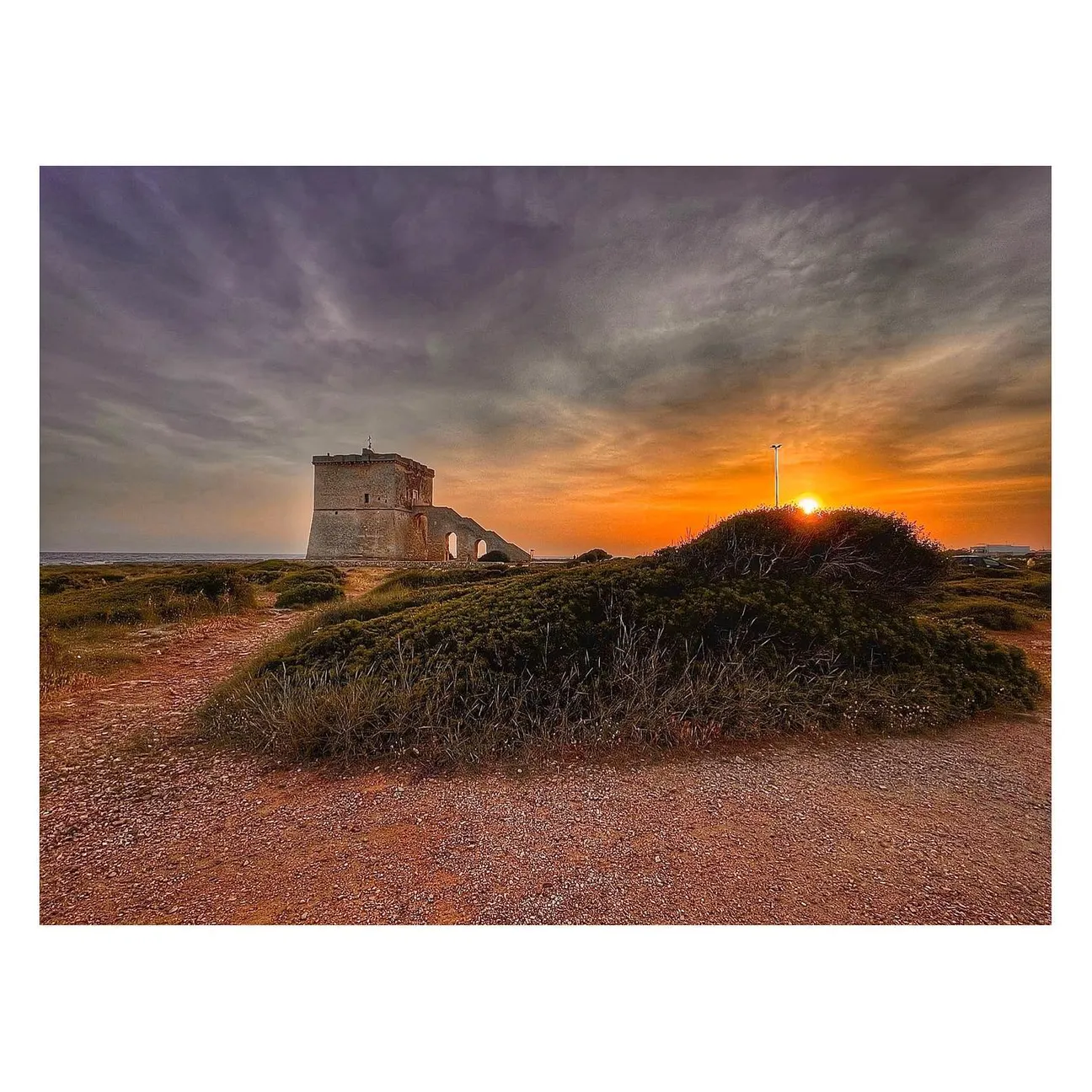
North of the town, Torre Chianca overlooks a stretch of coast associated with an underwater archaeological site containing Roman columns of cipollino marble. Scalo di Furno is another archaeological area on the coast, linked to an ancient settlement.

From Roman Cesarea to a fishing town

The Municipality records evidence of human settlement at Scala di Furno dating from the 18th to the 17th century BC. During the Roman period, this coastline had an important harbour role connected with the agricultural and pastoral activities of the Arneo area.

Construction of Torre Cesarea began in 1568 and was completed in 1570 as the principal tower of the local coastal district. After being demolished because of structural problems, it was rebuilt in 1622. Porto Cesareo became independent from the Municipality of Nardò on 20 May 1975.
Where Porto Cesareo is

On the Ionian coast of the Province of Lecce, between Torre Lapillo and the coastal territory of Nardò.

Porto Cesareo Porto Cesareo · Province of Lecce
Take me there
Approximate coordinates: 40.2628, 17.8984

Beaches, islands and places in Porto Cesareo

Eleven public, natural, historic and archaeological places along the Porto Cesareo coastline.

Torre Chianca, Porto Cesareo

Torre Chianca, Porto Cesareo

A sixteenth-century coastal tower beside pale sand, short rocky sections and generally shallow water. It is also the northern landmark of Baia Grande, the stretch of sea between Torre Chianca and Torre Lapillo known to kitesurfers: wind, bathing rules and sea conditions must be taken seriously here.

Scalo di Furno

Scalo di Furno

A free stretch of Porto Cesareo coastline where pale sand, small rocky sections and the local name “Primo Ponte” meet one of the resort’s most important archaeological sites. Since July 2026 Scalo di Furno has also been a key point in the new coastal and underwater archaeological park.

Isola dei Conigli

Isola dei Conigli

Isola dei Conigli is Porto Cesareo’s Isola Grande: a state nature reserve of about 9 hectares managed by the Carabinieri Biodiversity Unit in Martina Franca. Access is listed as free, but a small-boat transfer is the simplest option; wading or swimming across should not be treated as an always-harmless walk.

Torre Cesarea

Torre Cesarea, also known as the Tower of Porto Cesareo, is the large square tower in Piazza Nazario Sauro. The municipality records completion in 1570 and reconstruction in 1622 after structural problems. It remains a major historic landmark.

Porto Cesareo Beach

Porto Cesareo Beach

Porto Cesareo Beach is a small urban beach in the town centre. Its main advantage is location: the sea is steps from bars, shops and services, but space is limited compared with the long beaches farther north.

Lu Culacchiu

Lu Culacchiu

Lu Culacchiu is a small free public beach on the southern approach to Porto Cesareo from Sant’Isidoro. It is mainly a neighbourhood beach used by people staying or living nearby.

Le Dune free beach

Le Dune free beach

The free strip between Le Dune and Tabù is one of Porto Cesareo’s easiest and most popular beaches: fine sand, generally shallow sea and private services nearby. Peak-summer crowding is the trade-off, and the dunes behind the shore are protected habitat, not a shortcut.

Malva Rock

Malva Rock

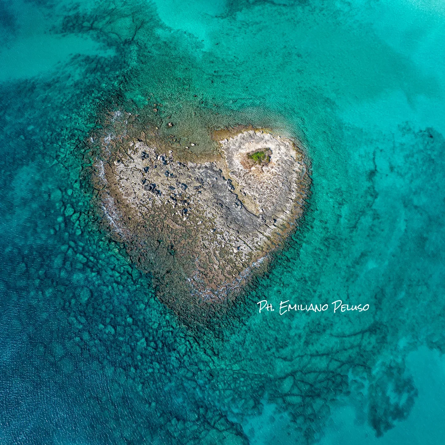
Malva Rock is a small outcrop off Torre Chianca, distinct from the nearby Isola della Malva. The area has landscape and archaeological value and is subject to a specific navigation restriction.

Isola della Malva

Isola della Malva

Isola della Malva is a small islet off the Torre Chianca sector within Porto Cesareo’s protected marine landscape. It must be distinguished from the nearby Scoglio della Malva, which has its own navigation rules. The seabed off Torre Chianca also contains the site of five Greco-Roman columns, a separate underwater archaeological site.

La Strea

La Strea

A natural peninsula closing the southern side of Porto Cesareo bay: shallow sheltered water on one side and rocky open sea on the other. It is primarily a place to walk and observe, with conservation rules more important than a normal beach day.

L’Approdo

L’Approdo is the Torre Chianca coastal sector beside the namesake sailing club and Lido Tabù. It should not be described as one entirely free public beach: public access, concessions and nautical activities coexist along this stretch.

🏖️ Book a beach umbrella in Porto Cesareo

Beach clubs and bathing establishments in the area: choose a venue and contact it directly for availability and bookings.

Do you own or manage one of these beach clubs? Claiming is free. Email us a photo, a short description, phone number, email address, full address and official website. If your beach club is missing, you can add it free of charge with a simple email.
Salentissimo.it

Services in Porto Cesareo

Choose a service and view all available businesses and information on its dedicated page.

Frequently asked questions about Porto Cesareo

Essential answers about the beaches, islands, Marine Protected Area and local history.

Where is Porto Cesareo?
Porto Cesareo is on the Ionian coast of Salento, in the province of Lecce, between Torre Lapillo and the coastal territory of Nardò.
What are the beaches of Porto Cesareo like?
The coastline features pale sand, dunes and generally shallow, sandy seabeds. Free-access beaches and beach clubs alternate along the coast.
What is the real name of Isola dei Conigli?
Its geographical name is Isola Grande. It is commonly known as Isola dei Conigli and lies opposite the town centre.
What is the Porto Cesareo Marine Protected Area?
It is a marine area divided into zones A, B and C, with different levels of protection and different permitted activities.
When was Torre Cesarea built?
Construction began in 1568 and was completed in 1570. The tower was later demolished and rebuilt in 1622.
Which natural and historic places are included?
The archive includes Isola dei Conigli, Torre Chianca, Scalo di Furno, Torre Cesarea, La Strea, Isola della Malva and Scoglio della Malva, Baia Malva, and the town-centre and Dune beaches.

Nearby seaside resorts to discover

Continue along the Ionian coast towards Torre Lapillo, Torre Castiglione and Sant’Isidoro.