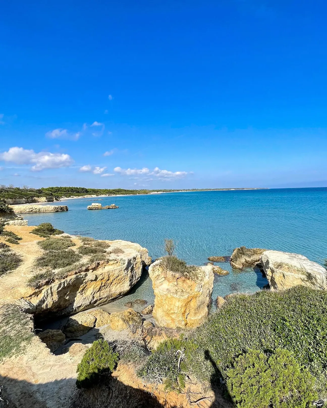
How to get there
The sector is crossed by coastal routes and often viewed from the sea; do not improvise cliff descents.
If an access point is closed or altered, do not improvise shortcuts: use authorised routes only.
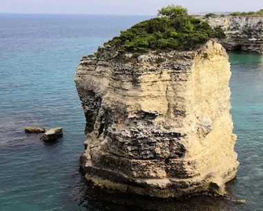
Sapunerò is a rocky landmark on Otranto’s northern coast, along the route between Grotta Monaca and Mulino d’Acqua; the pin is approximate because no standalone institutional coordinate was found.
Sapunerò is a rocky landmark on Otranto’s northern coast, along the route between Grotta Monaca and Mulino d’Acqua; the pin is approximate because no standalone institutional coordinate was found. The maritime landslide-risk ordinance prohibits navigation, stopping, anchoring, bathing and underwater activities within 50 m of the cliff in the Morrone–Mulino d’Acqua–Grotta Monaca sector. Sapunerò lies along this coastal system: obey signs and exclusion markers.
The sector is crossed by coastal routes and often viewed from the sea; do not improvise cliff descents.
If an access point is closed or altered, do not improvise shortcuts: use authorised routes only.
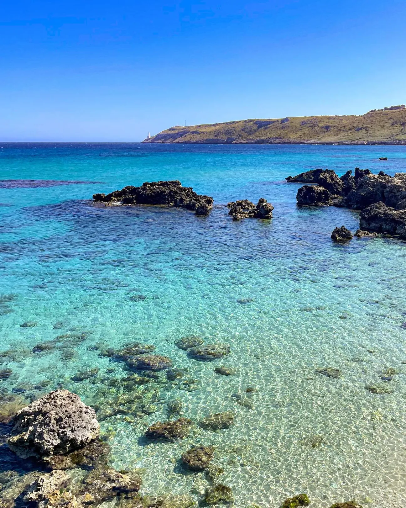
Do not plan swimming below the cliff without checking current ordinances, signs and marked exclusion zones.
Before moving away from shore, identify a safe exit point and do not enter if waves or current exceed your ability.
Not our first choice for toddlers, frail older visitors or anyone uncomfortable on rocks.
Before planning the day, consider access, distance from services, crowding and how easy it will be to get back.
No dedicated car park is guaranteed for the exact point; use legal areas only.
Do not leave valuables visible in the car and do not occupy verges, access points or unauthorised spaces.
No direct facilities are guaranteed at the exact point; bring water and sun protection.
Bring water and a small snack anyway, especially on free or natural stretches.
Trails, rock and gradients prevent a universal-access claim.
If you have specific mobility needs, check before leaving whether the route is genuinely usable that day.
The maritime landslide-risk ordinance prohibits navigation, stopping, anchoring, bathing and underwater activities within 50 m of the cliff in the Morrone–Mulino d’Acqua–Grotta Monaca sector. Sapunerò lies along this coastal system: obey signs and exclusion markers.
If signs or barriers on site are more restrictive than this guide, the instructions on site always take precedence.
Choose it for scenery, local history or a less conventional coastal stop; do not force sea access when the site is unsuitable for bathing.
First check access, signs and sea conditions.
Bring suitable walking shoes, water, a hat and sunscreen; use water shoes only where bathing is actually permitted.
Keep your phone and documents in a waterproof case and carry your gear in a compact backpack.
Reference coordinates: 40.1666, 18.482. For natural sites without official boundaries, the pin is approximate and does not certify sea access.
The gallery shows the available and verified photographs for this place.
Have you photographed this beach or a beach club located here? Send your image to Salentissimo.it.
The photo and the details you enter will be emailed to the editorial team and checked before possible publication among the photographs of this beach.
Do you own or manage a beach club or bathing establishment? Claim your listing free of charge: email us a photo, a short description, your contact details and a link to your website. We will create an updated card with the information you provide.
Add it free of charge by emailing us the business details.
Add your beach clubContinue along the same coast with the linked guides.
A beach or sea-access point on the coast of Otranto, included among the public coastal places of this page.
Open guideA beach or sea-access point on the coast of Otranto, included among the public coastal places of this page.
Open guideA coastal promenade or urban seafront linked with access to the sea at Otranto.
Open guideA historic coastal tower or lookout connected with the defensive landscape of Otranto.
Open guideA beach or sea-access point on the coast of Otranto, included among the public coastal places of this page.
Open guideA historic coastal tower or lookout connected with the defensive landscape of Otranto.
Open guideA beach or sea-access point on the coast of Otranto, included among the public coastal places of this page.
Open guideA cove or bay on the coast of Otranto, set within the local rocky or sandy landscape.
Open guideA natural cave on the coast of Otranto, documented among the principal geological or historic places of the locality.
Open guideA rock, islet or offshore feature forming part of the coastal landscape of Otranto.
Open guideA beach or sea-access point on the coast of Otranto, included among the public coastal places of this page.
Open guideA natural cave on the coast of Otranto, documented among the principal geological or historic places of the locality.
Open guideA cove or bay on the coast of Otranto, set within the local rocky or sandy landscape.
Open guideA historic coastal tower or lookout connected with the defensive landscape of Otranto.
Open guideA natural cave on the coast of Otranto, documented among the principal geological or historic places of the locality.
Open guideA coastal promenade or urban seafront linked with access to the sea at Otranto.
Open guideDo you run a hotel, B&B, residence, holiday home or other accommodation? Claim your listing free of charge: email us a photo, a short description, your contact details and a link to your website. We will create an updated card with the information you provide.
Navigation follows the coastal resort configured for this location.
Location, access, sea, families, safety and practical information.