Baia Imperia
Puglia · Salento · Adriatic Sea · Otranto

Baia Imperia

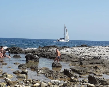
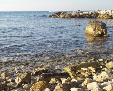
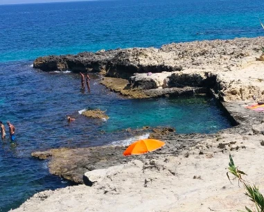
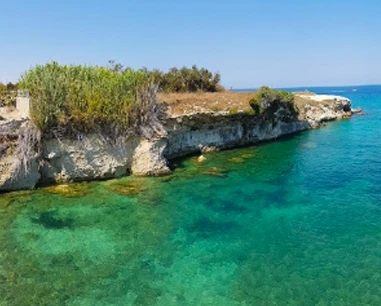
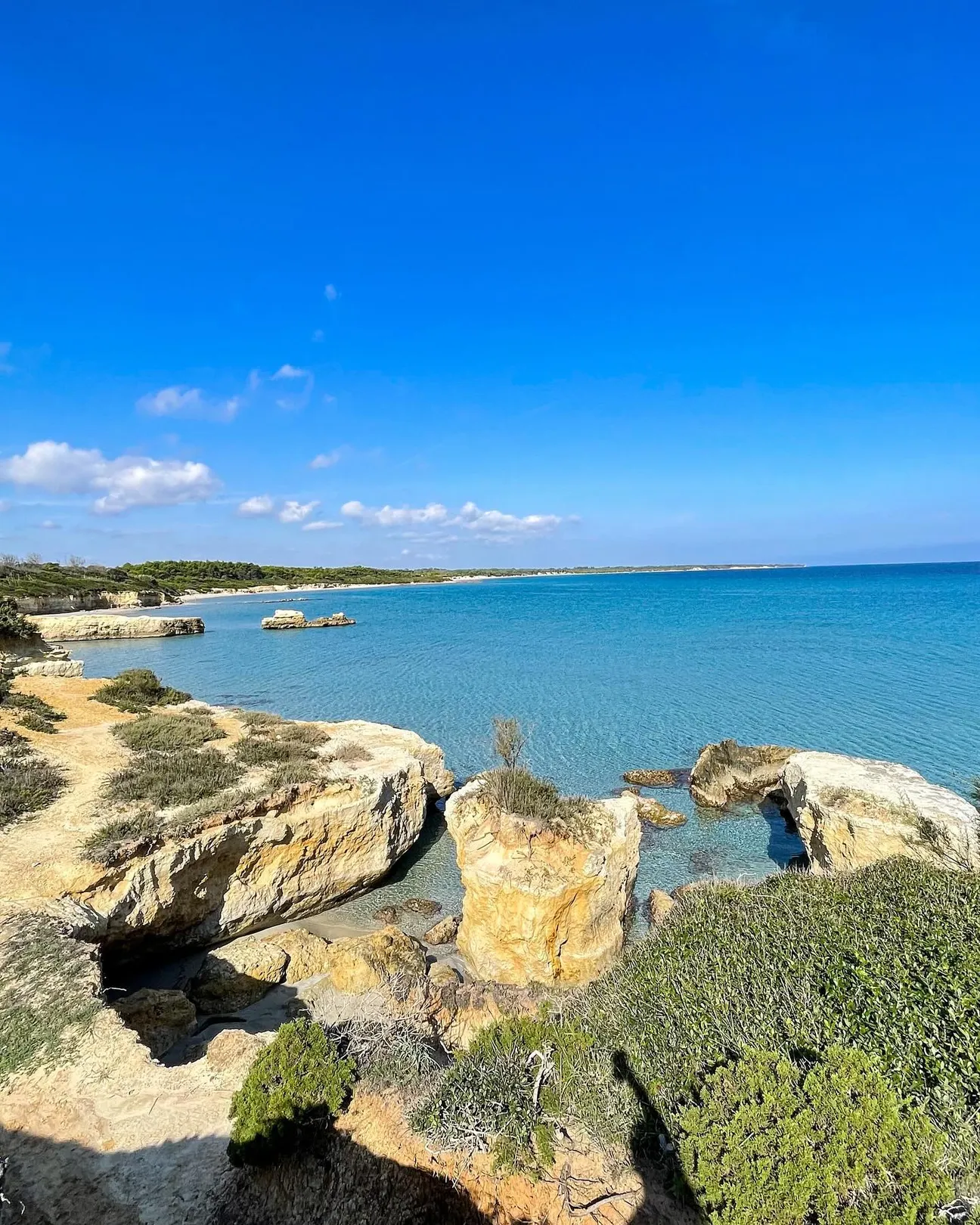
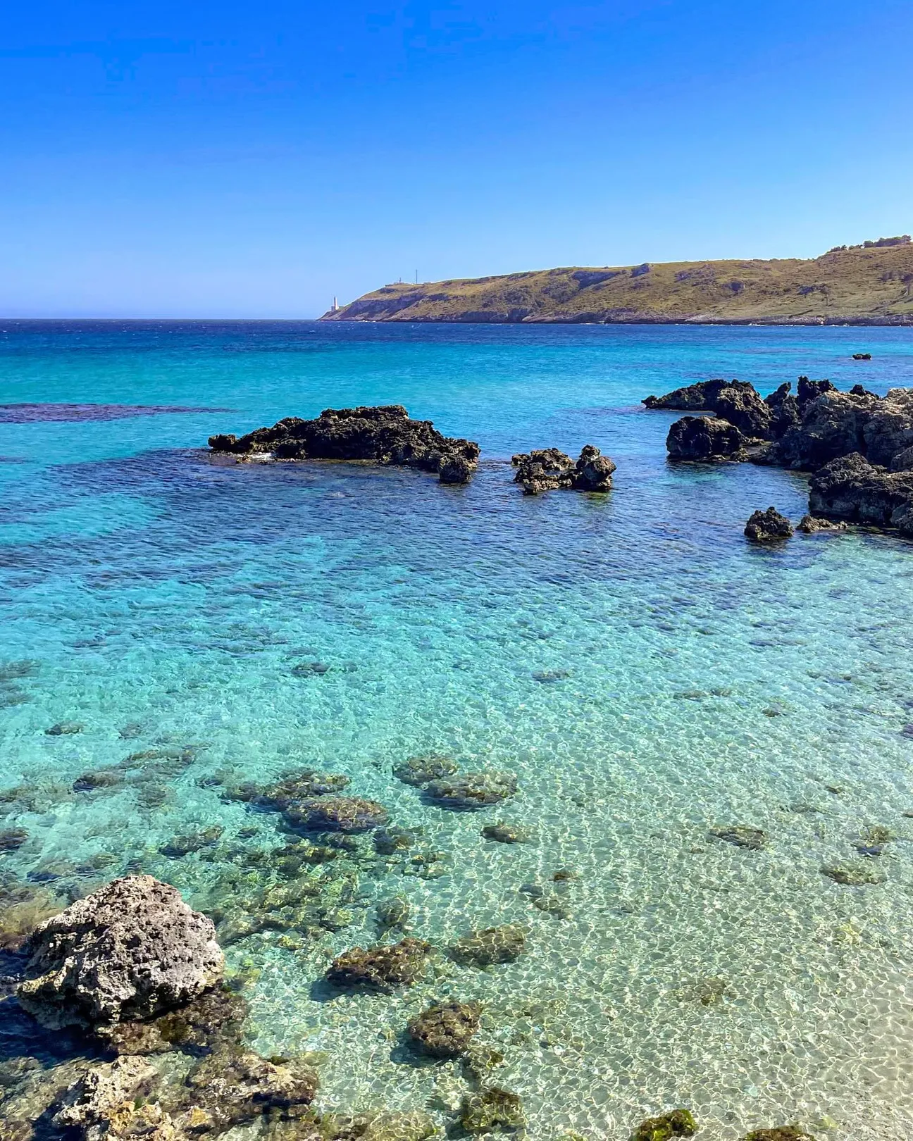
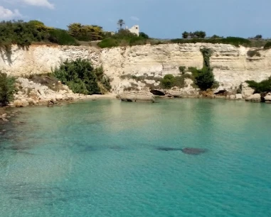
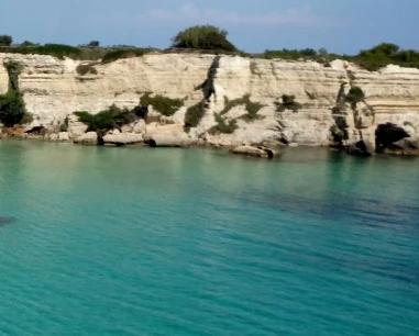
A secluded rocky bay north of Otranto, between the Mulino d’Acqua sector and Torre Santo Stefano, commonly visited from the sea.

Baia Imperia: what to know before you go

That is too absolute. Current coastal data list Baia Imperia as free coast, but no official public footpath was found to promise. Boat access remains the clearest option.

Free coast

Recent coastal data classify Baia Imperia as a free section.

Location

North of Otranto near Il Morrone and Torre Santo Stefano.
Coordinates

40.17625, 18.47704.

Map

mapping sources coastal attraction point.

Advertisement

No guaranteed land path

No official public pedestrian route was found.

Rule

Do not cross private land, fences or cliffs.

Boat is the clearest approach

Otranto operators include it in northern coastal tours.

Weather

Stops depend on sea, wind and skipper decisions.

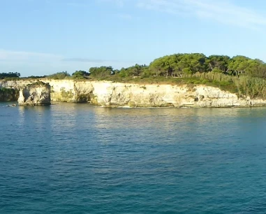
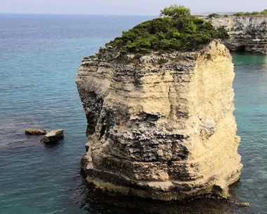
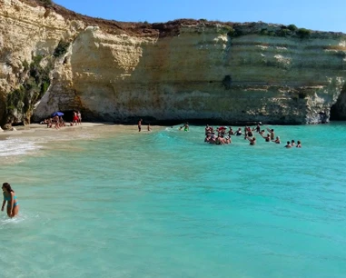
Wild cliff setting

Rock and Mediterranean vegetation dominate.

From land

Better for panoramic viewing than improvised descent.

Families

Not a simple toddler beach from land.

By boat

Organised visits may be easier; operator rules vary.

Snorkelling

Possible during safe authorised swim stops.

Safety

Stay near the boat and follow crew directions.

No cliff jumps

No certified jumping points are documented.

Rule

Do not climb or jump from unknown cliffs.

Parking

No official car park is identified as a land-access gateway.

Plan

Use the parking advised by your boat operator.

What to bring

Sunscreen, hat, towel, water and mask if swimming.

Environment

Leave no waste.

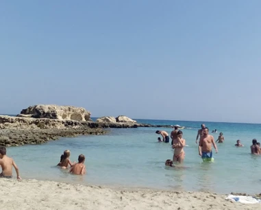
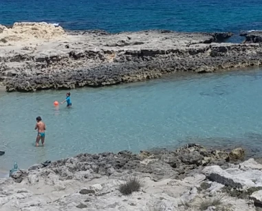
The gallery shows the available and verified photographs for this place.

Book a beach umbrella

Beach clubs and bathing establishments linked to this location.

Advertisement

Is your beach club missing?

Add it to the portal for free.

Add beach club

Visit other beaches in the same seaside resort (Otranto)

Continue along the same coastal stretch with the linked guides.

Spiaggia di Calamuri

Spiaggia di Calamuri

“Calamuri” is a real place-name south of Otranto, also confirmed by the Speleological Register through Vora Calamuri. No institutional boundary for a standalone beach was found, so the pin is an area reference rather than a certified sea access.

Spiaggia di Punta San Nicola

Spiaggia di Punta San Nicola

The historic guide also used the local name “Filu de Mienzu”. The maritime ordinance officially identifies “Spiaggia San Nicola” on the cliff southeast of the harbour and defines a restricted sea area because of landslide risk.

Advertisement
Spiaggia degli Scaloni

Spiaggia degli Scaloni

This central beach is also known as Spiaggia dei Gradoni: fine sand, free and serviced sections, with immediate access from the promenade.

Riviera degli Haethey

Riviera degli Haethey

An urban beach just north of central Otranto, with fine sand, generally shallow water in the sandy sections, free areas and nearby beach clubs: convenient if you want sea and town within walking distance.

Faro di Punta Cràulo

Faro di Punta Cràulo

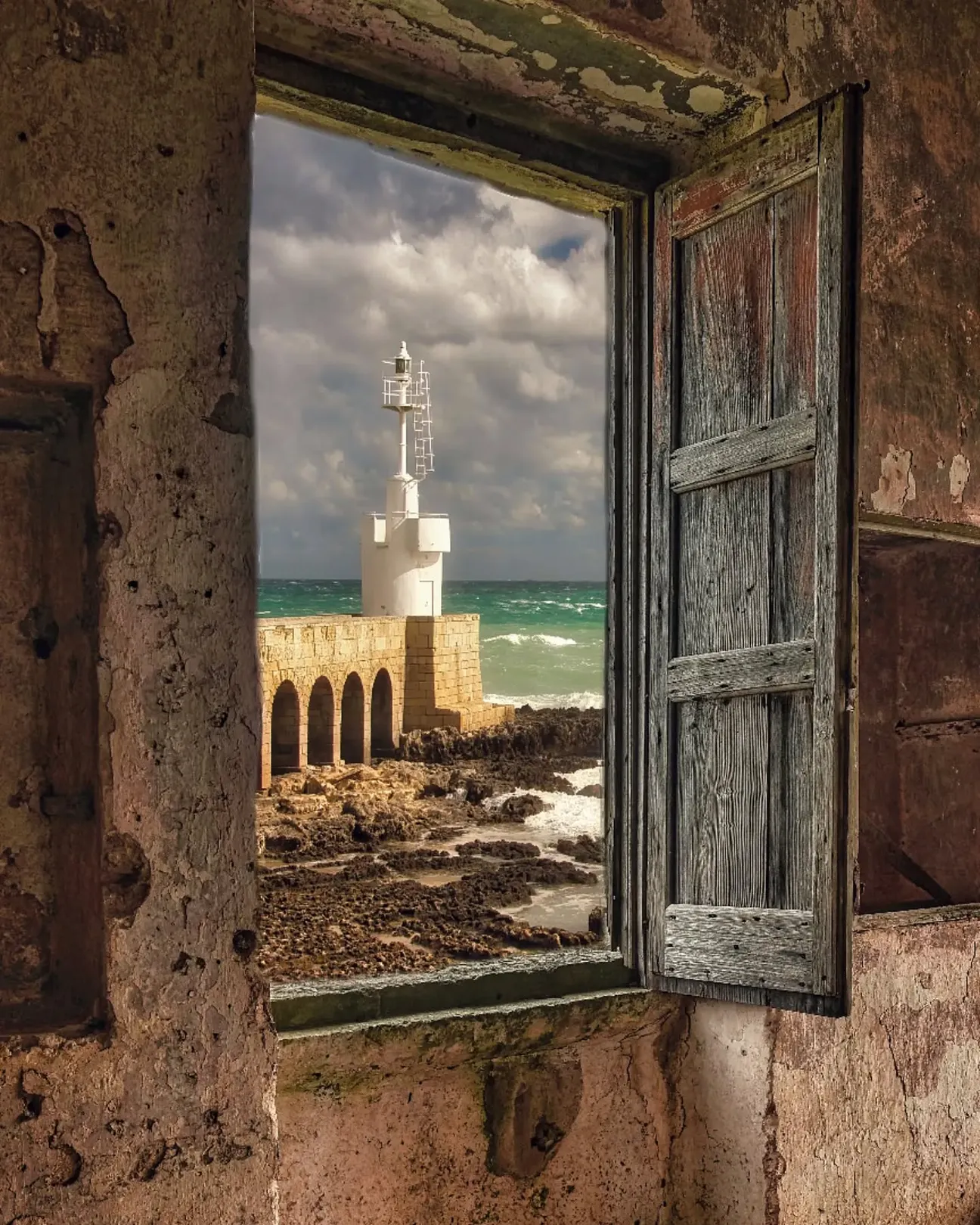
Otranto’s white maritime light at Punta Craulo, north of the harbour, beside Porto Craulo beach and low rocky shoreline.

Lido della Staffa

Lido della Staffa

A small free cove north of Otranto between La Castellana and Canale del Càfaro, with a mixed sand-and-rock shoreline.

Canale del Càfaro Cove

Canale del Càfaro Cove

A small rocky inlet on Otranto’s northern coast, between Staffa and the coves towards Grotta Monaca: clear water, paths and steps for access, an interesting seabed for snorkelling and virtually no facilities in the cove itself.

Spiaggia della Cattapìgnula

Spiaggia della Cattapìgnula

Cattapìgnula means “bat” in local dialect; local sources describe a cave used by bats and a sea-accessed cavity. The pin is approximate for the coastal sector.

Cala di San Pietro dei Canali

Cala di San Pietro dei Canali

A small rocky cove north of Otranto on the Hermit Trail, among caves and low limestone cliffs.

Cala di Grotta Monaca

Cala di Grotta Monaca

A rocky cove on Otranto’s northern coast, known for its large semi-submerged cave. Today the visit must be planned around cliff-safety rules first: maritime restrictions linked to landslide risk are listed for this stretch of coast.

Grotta dell’Eremita

A large sea cave north of Otranto in the Mulino d’Acqua cave system, close to several neighbouring caves.

Scoglio di Sapunerò

Scoglio di Sapunerò

Sapunerò is a rocky landmark on Otranto’s northern coast, along the route between Grotta Monaca and Mulino d’Acqua; the pin is approximate because no standalone institutional coordinate was found.

Mulino d’Acqua Bay

Mulino d’Acqua Bay

A spectacular bay of cliffs, small inlets and sea caves. Today, however, the most important thing to know before you go is that sea access, bathing and remaining below the cliff are affected by safety restrictions.

Grotta Sfondata

Grotta Sfondata

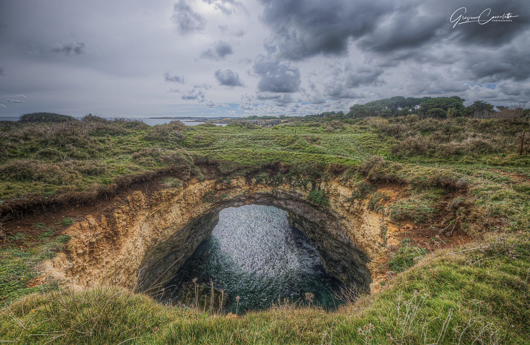
Otranto’s famous coastal cave with a collapsed roof and a large opening to the sky, in the Mulino d’Acqua cave system.

Torre del Serpe

Torre del Serpe

The ICCD cultural-heritage record describes Torre del Serpe as a coastal tower about 200 m from the sea and 35 m above it; tradition links it to an earlier lighthouse, while today it survives as a partly ruined structure.

Grotta delle Conchiglie

A sea cave in Mulino d’Acqua Bay, immediately beside Grotta Sfondata and reached from the sea.

Lungomare di Otranto

Lungomare di Otranto

This guide mainly covers Lungomare degli Eroi, the public promenade beside the historic centre; it should not be confused with Lungomare Terra d’Otranto or Lungomare Kennedy.

Salentissimo.it

Services near Baia Imperia

Choose a service and view all available businesses and information on its dedicated page.

Continue along the coast

Navigation follows the resort configured for this location.

Frequently asked questions about Baia Imperia

Location, access, safety and practical information.

Where is it?
North of Otranto between Mulino d’Acqua area and Torre Santo Stefano.
Free beach?
Recent coastal data classify it as free coast.
Can I walk there?
No official public footpath is guaranteed.
Boat access?
Yes, local tours include it.
Good for toddlers?
Not as an improvised land-access beach.
Snorkelling?
Yes during safe authorised stops.
Cliff jumping?
Not recommended.
Parking?
Use the departure-point parking advised by the operator.
Coordinates?
40.17625, 18.47704.