Mulino d’Acqua Bay
Puglia · Salento · Adriatic coast · Otranto

Mulino d’Acqua Bay

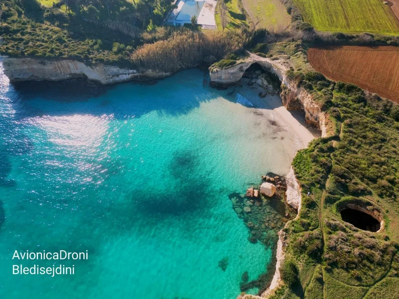
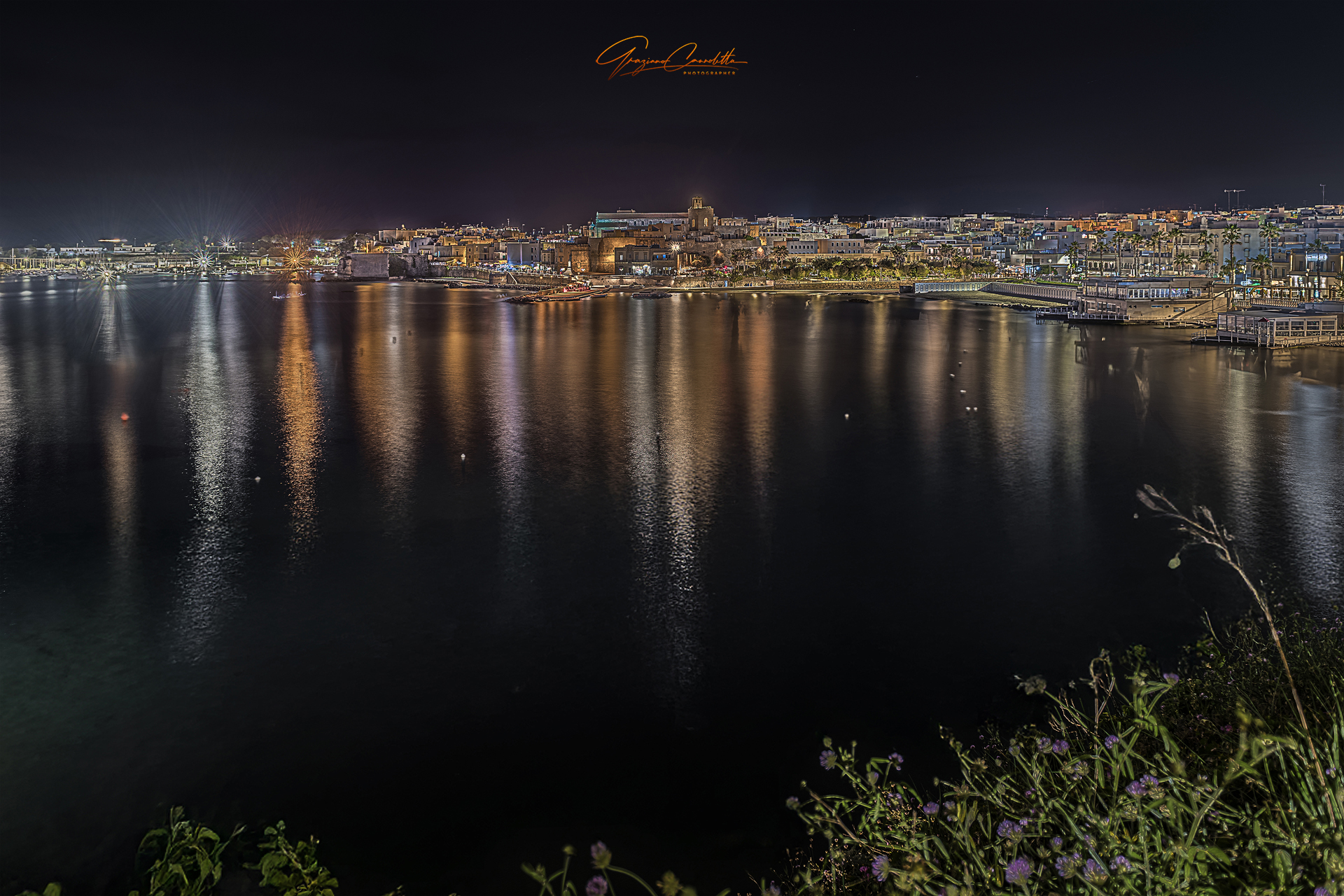
A spectacular bay of cliffs, small inlets and sea caves. Today, however, the most important thing to know before you go is that sea access, bathing and remaining below the cliff are affected by safety restrictions.

What to know before going to Mulino d’Acqua

This is one of those places where access, parking and safety matter more than old photographs: the bay is beautiful, but it should not be presented as a normal beach that can be reached freely from land.

A cliff-and-cave bay

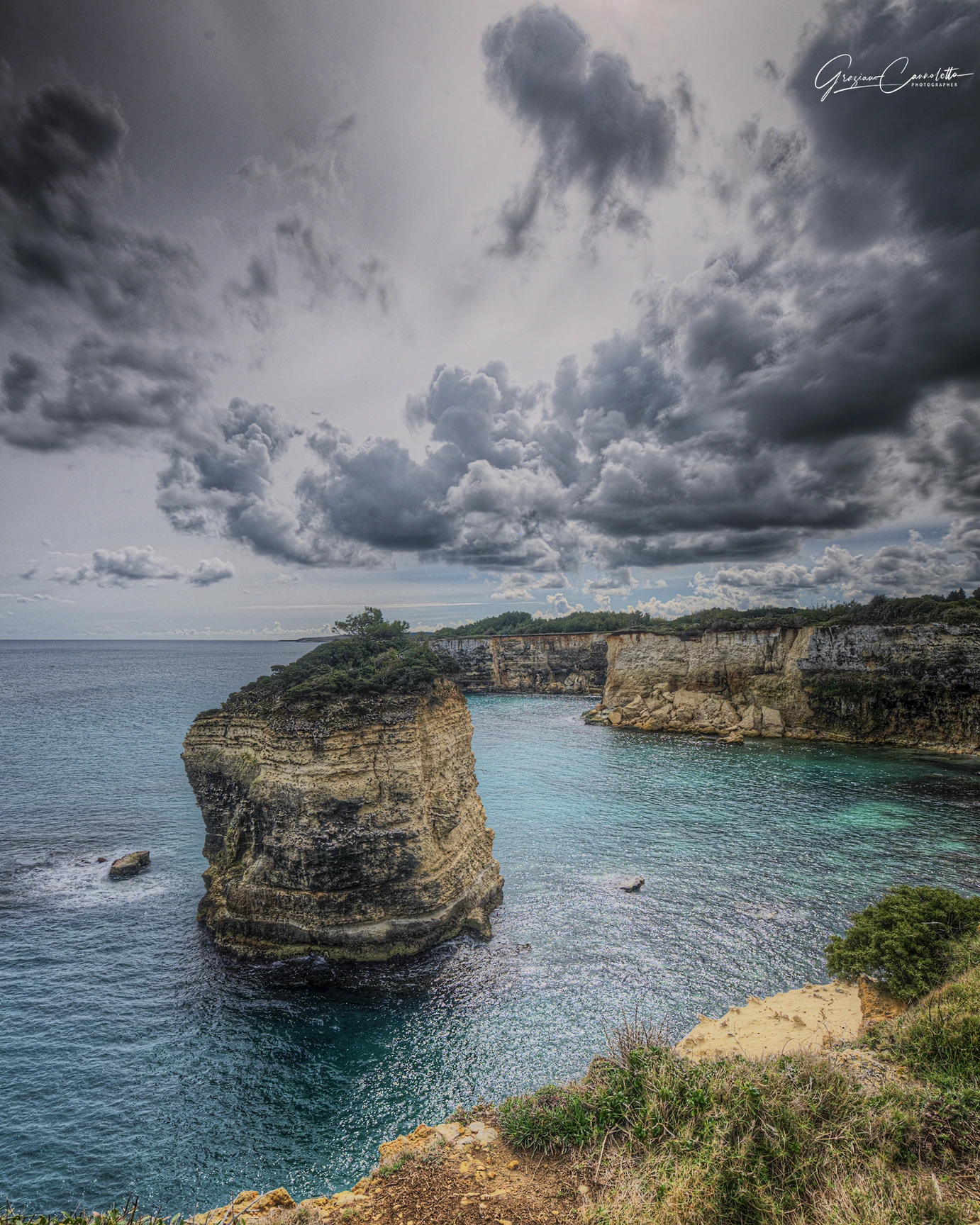
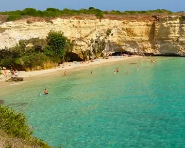
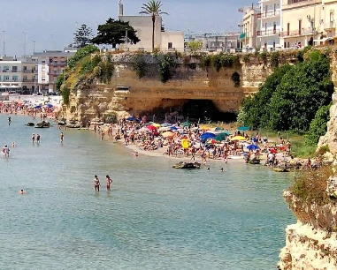
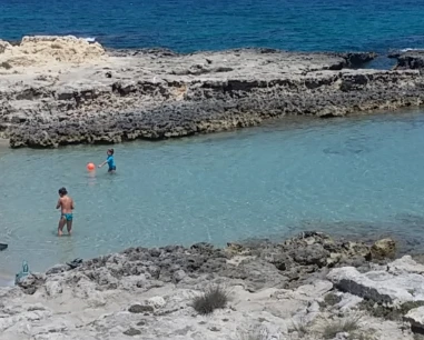
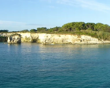
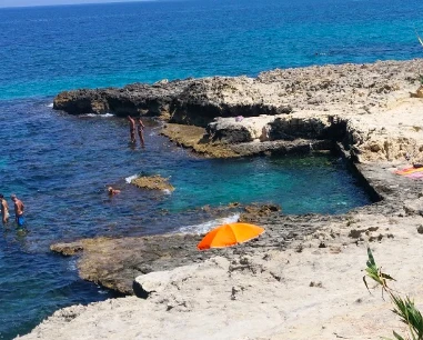
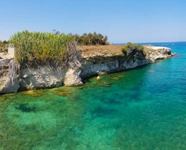
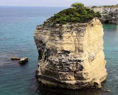
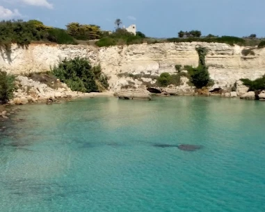
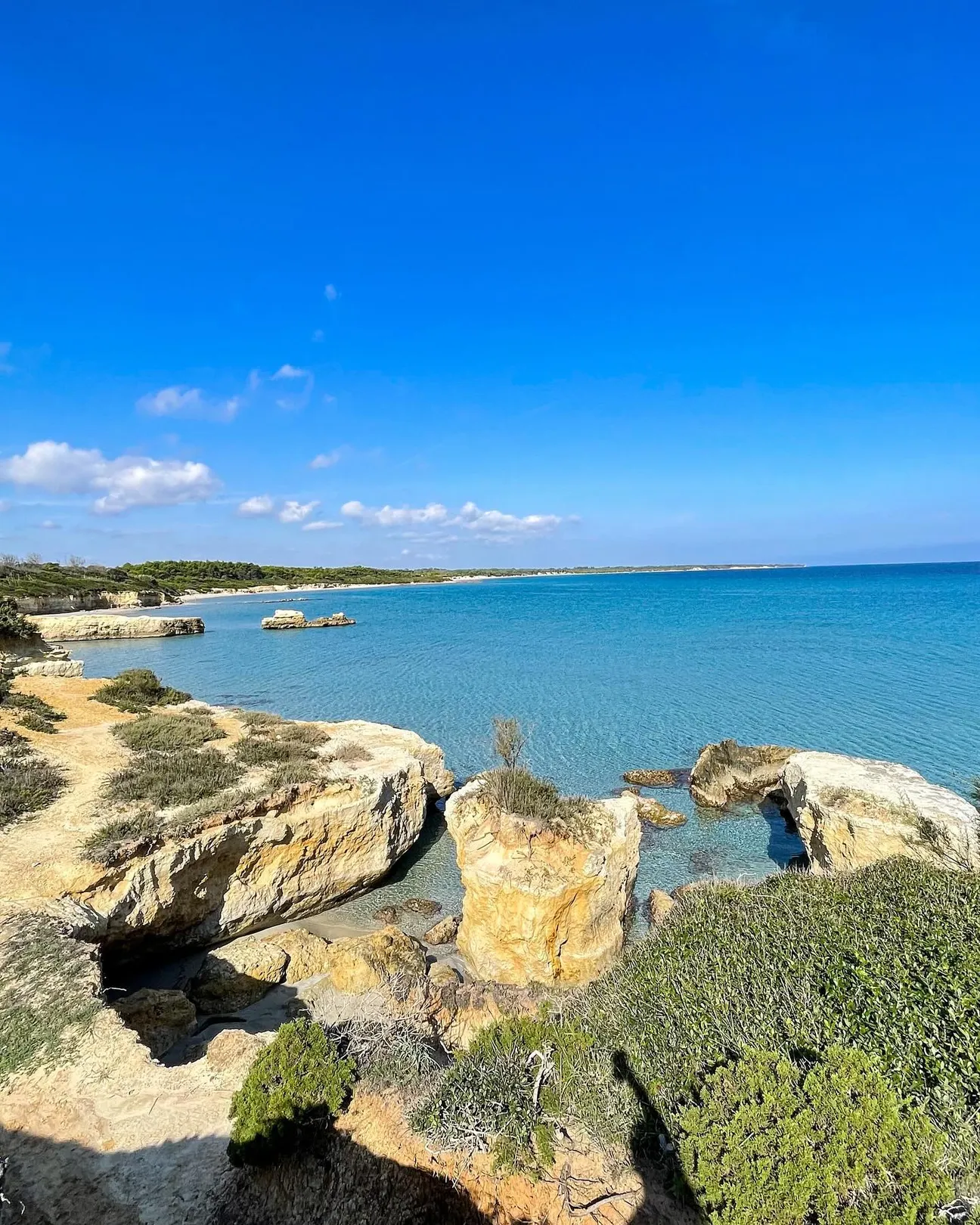
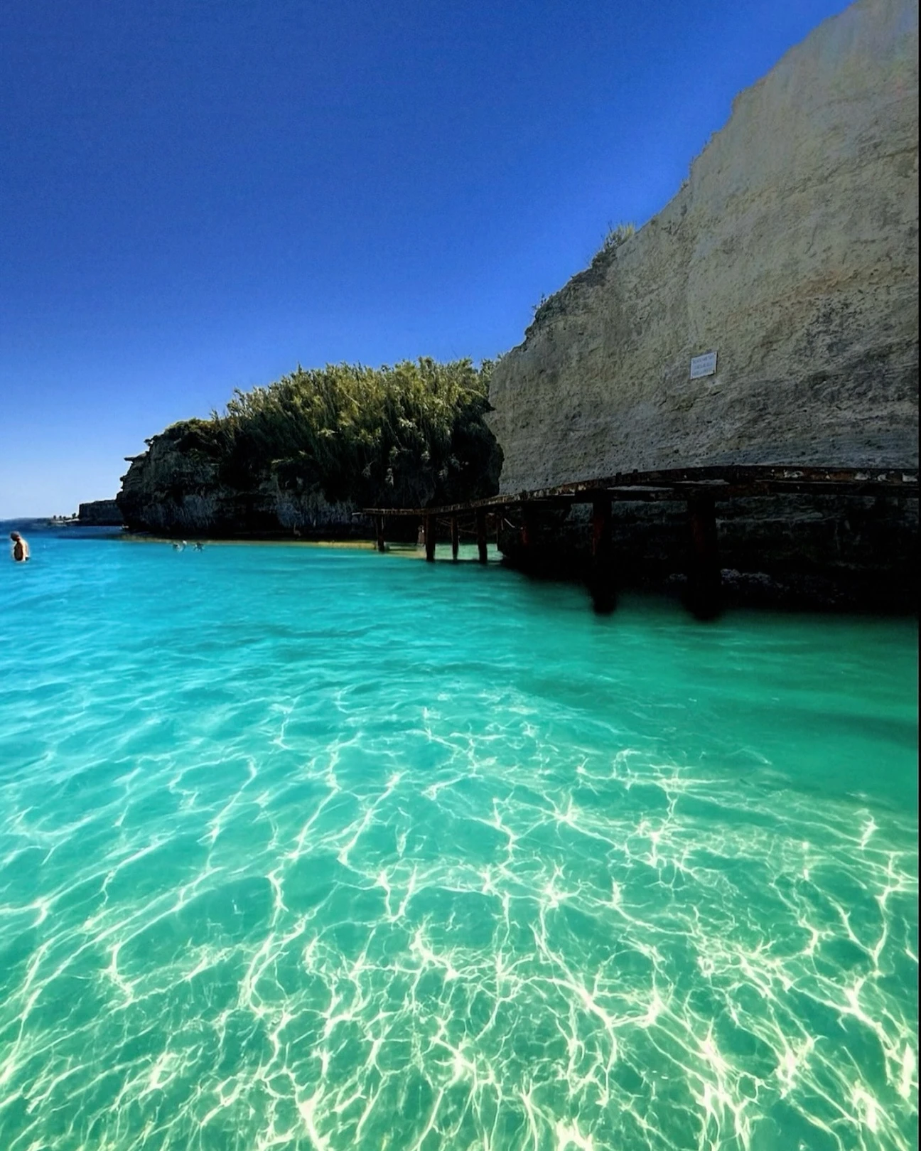
Mulino d’Acqua is a rocky stretch of coast north of Otranto, with a small bay at the foot of the cliff and several sea caves. The shore is small and can change greatly after storms and erosion: do not expect a large, stable sandy beach.

Good to know

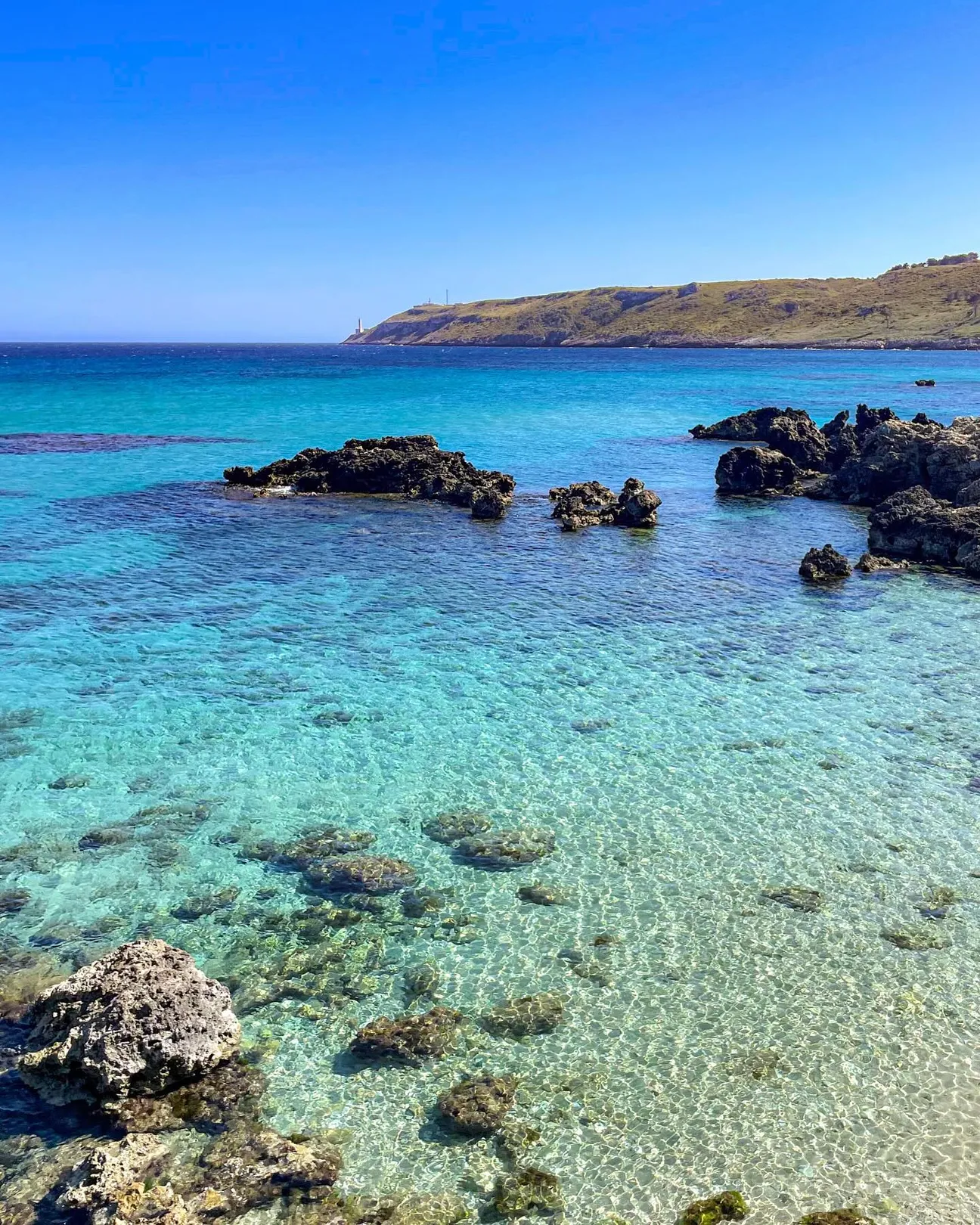
The real value of the place is the landscape: rock walls, clear water and caves. It is very different from the large beaches around Alimini.

How to get there from Otranto

The clearest road reference is Borgo Mulino d’Acqua, at Via Vicinale Santo Stefano 34, just north of central Otranto. By car, reach the property by following signs for the Santo Stefano/Mulino d’Acqua area.

Important

Reaching the Borgo does not automatically mean you have authorised access to the bay. Before setting off, check the current situation for access, restrictions and cliff safety with the property or local authorities.

Advertisement

The old walkway is no longer a valid reference

Today, the official Borgo Mulino d’Acqua regulations instead state that the property borders the public coastal area but does not allow people to move close to the cliff or reach the sea from the property.

Key update

Do not plan your day around old photos, blogs or directions to the walkway. The real access situation has changed and must be checked on site before attempting any descent.

Cliff: bathing and transit restrictions

The Borgo’s official regulations refer to orders and safety provisions that ban bathing and other activities in the water in front of the cliff because of collapse risk. In August 2023 another cliff fall affected the area near the bay and Grotta Sfondata.

Safety

Signs and barriers always take priority over any online guide. Do not remain beneath unstable rock faces and do not enter restricted areas, even if you see other people doing so.

Parking: do not assume there is a public beach car park

Borgo Mulino d’Acqua has its own parking area for users of the property, with a vehicle pass. Its regulations also state that visitors and day guests may enter only after registration, management authorisation and according to the conditions set by the property.

Practical tip

If you want to reach the area by car, contact the Borgo first to ask whether day access is allowed and where you may park legally. We did not find an up-to-date verified public tariff that can be published as the cost of parking for the bay.

Real accessibility

The bay lies below a cliff and today has no public access to the shoreline that we can describe as simple and safe. It is therefore not a destination to recommend for a normal beach day to anyone using a pushchair or wheelchair, or with reduced mobility.

Consider this

The landscape can be enjoyed without turning the visit into a descent to the sea. For permitted access and routes, follow the updated information and signs on site.

Bars and refreshments nearby

Borgo Mulino d’Acqua, above the bay, confirms on its website that it has a restaurant, bar and pool bar. It is therefore the main refreshment point immediately beside the area.

Practical caution

The services are inside a private property: access for outside or day visitors cannot be assumed and is subject to registration, availability and management decisions. Check before you go.

Grotta Sfondata and other sea caves

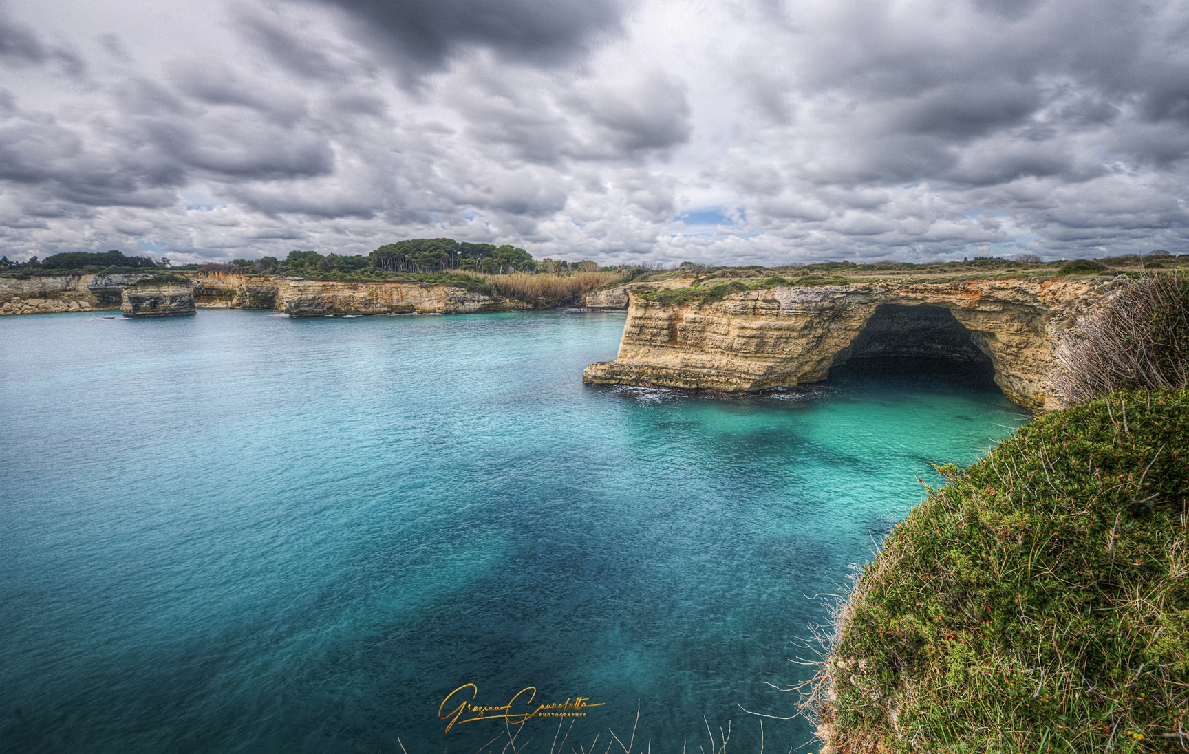
This stretch of coast is known for Grotta Sfondata, Grotta dell’Eremita, Grotta delle Conchiglie and other caves. They are part of Mulino d’Acqua’s appeal, but the same cliff formation that created them also brings a risk of rock falls and collapses.

Best way to discover them

A visit from the sea with operators who know the orders, restricted areas and safety distances makes more sense than improvising swims or climbs from the coast.

Who the visit is worthwhile for

For people who love cliff scenery, photography, caves and wild coastline, Mulino d’Acqua remains one of the most striking places around Otranto and Salento.

In short

Today, think of it mainly as a natural place to discover carefully, not a beach where you can arrive unprepared and put up a parasol.

Less suitable for

It is not well suited to anyone looking for easy access, guaranteed public parking, services directly on the beach, a child-friendly shallow seabed or a day by the sea without checking restrictions and safety conditions.

Practical alternative

For a straightforward beach day, choose an Otranto beach with regular public access and save Mulino d’Acqua for a scenic visit or an organised excursion.

Before you go

Above all, bring up-to-date information: check access and signs, verify entry arrangements with the property and do not automatically treat older directions online as still valid.

Practical tip

If you take a coastal excursion, bring water, suitable shoes and sun protection. If you visit from the sea, use operators who respect restricted areas.
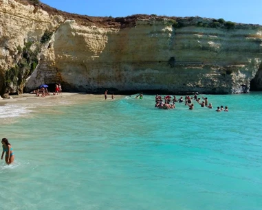
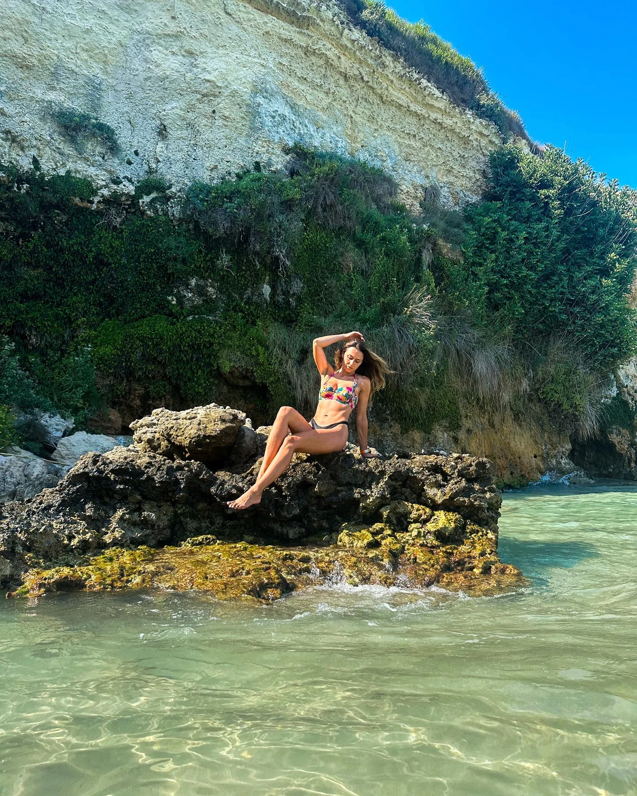
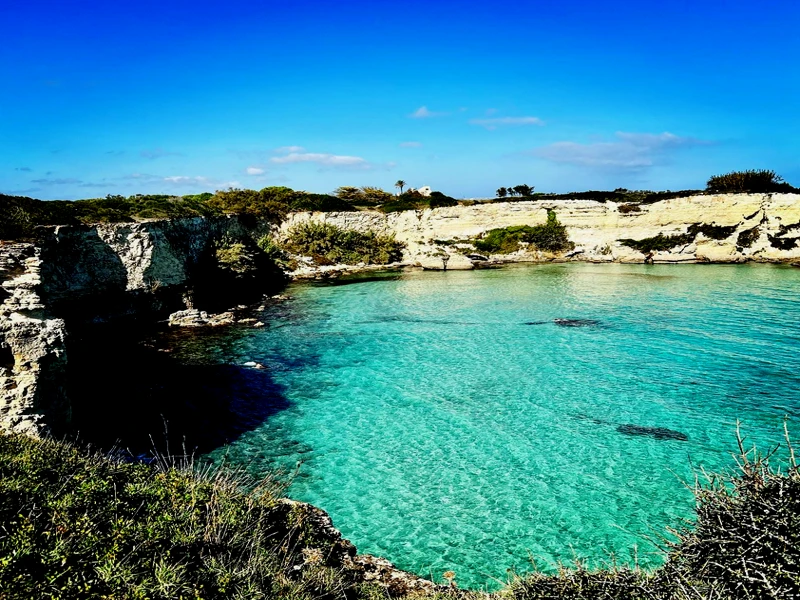
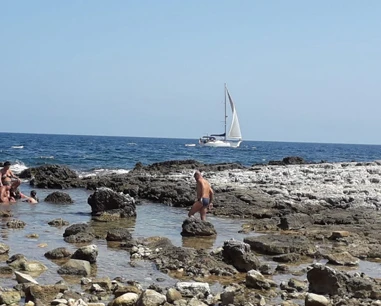
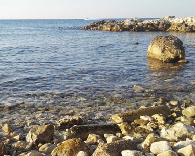
The seven most recent photographs added to the Salentissimo.it archive for Mulino d’Acqua Bay, from newest to oldest.

Book a beach umbrella

Beach clubs and bathing establishments linked to this location.

Advertisement

Is your beach club missing?

Add it to the portal for free.

Add beach club

Visit other beaches in the same seaside resort (Otranto)

The landscape continues with other caves and inlets along the Otranto coast. The links help you identify the places; any restrictions and access conditions should be checked separately for each one.

Spiaggia di Calamuri

Spiaggia di Calamuri

“Calamuri” is a real place-name south of Otranto, also confirmed by the Speleological Register through Vora Calamuri. No institutional boundary for a standalone beach was found, so the pin is an area reference rather than a certified sea access.

Spiaggia di Punta San Nicola

Spiaggia di Punta San Nicola

The historic guide also used the local name “Filu de Mienzu”. The maritime ordinance officially identifies “Spiaggia San Nicola” on the cliff southeast of the harbour and defines a restricted sea area because of landslide risk.

Advertisement
Spiaggia degli Scaloni

Spiaggia degli Scaloni

This central beach is also known as Spiaggia dei Gradoni: fine sand, free and serviced sections, with immediate access from the promenade.

Riviera degli Haethey

Riviera degli Haethey

An urban beach just north of central Otranto, with fine sand, generally shallow water in the sandy sections, free areas and nearby beach clubs: convenient if you want sea and town within walking distance.

Faro di Punta Cràulo

Faro di Punta Cràulo

Otranto’s white maritime light at Punta Craulo, north of the harbour, beside Porto Craulo beach and low rocky shoreline.

Lido della Staffa

Lido della Staffa

A small free cove north of Otranto between La Castellana and Canale del Càfaro, with a mixed sand-and-rock shoreline.

Canale del Càfaro Cove

Canale del Càfaro Cove

A small rocky inlet on Otranto’s northern coast, between Staffa and the coves towards Grotta Monaca: clear water, paths and steps for access, an interesting seabed for snorkelling and virtually no facilities in the cove itself.

Spiaggia della Cattapìgnula

Spiaggia della Cattapìgnula

Cattapìgnula means “bat” in local dialect; local sources describe a cave used by bats and a sea-accessed cavity. The pin is approximate for the coastal sector.

Cala di San Pietro dei Canali

Cala di San Pietro dei Canali

A small rocky cove north of Otranto on the Hermit Trail, among caves and low limestone cliffs.

Cala di Grotta Monaca

Cala di Grotta Monaca

A rocky cove on Otranto’s northern coast, known for its large semi-submerged cave. Today the visit must be planned around cliff-safety rules first: maritime restrictions linked to landslide risk are listed for this stretch of coast.

Grotta dell’Eremita

A large sea cave north of Otranto in the Mulino d’Acqua cave system, close to several neighbouring caves.

Scoglio di Sapunerò

Scoglio di Sapunerò

Sapunerò is a rocky landmark on Otranto’s northern coast, along the route between Grotta Monaca and Mulino d’Acqua; the pin is approximate because no standalone institutional coordinate was found.

Grotta Sfondata

Grotta Sfondata

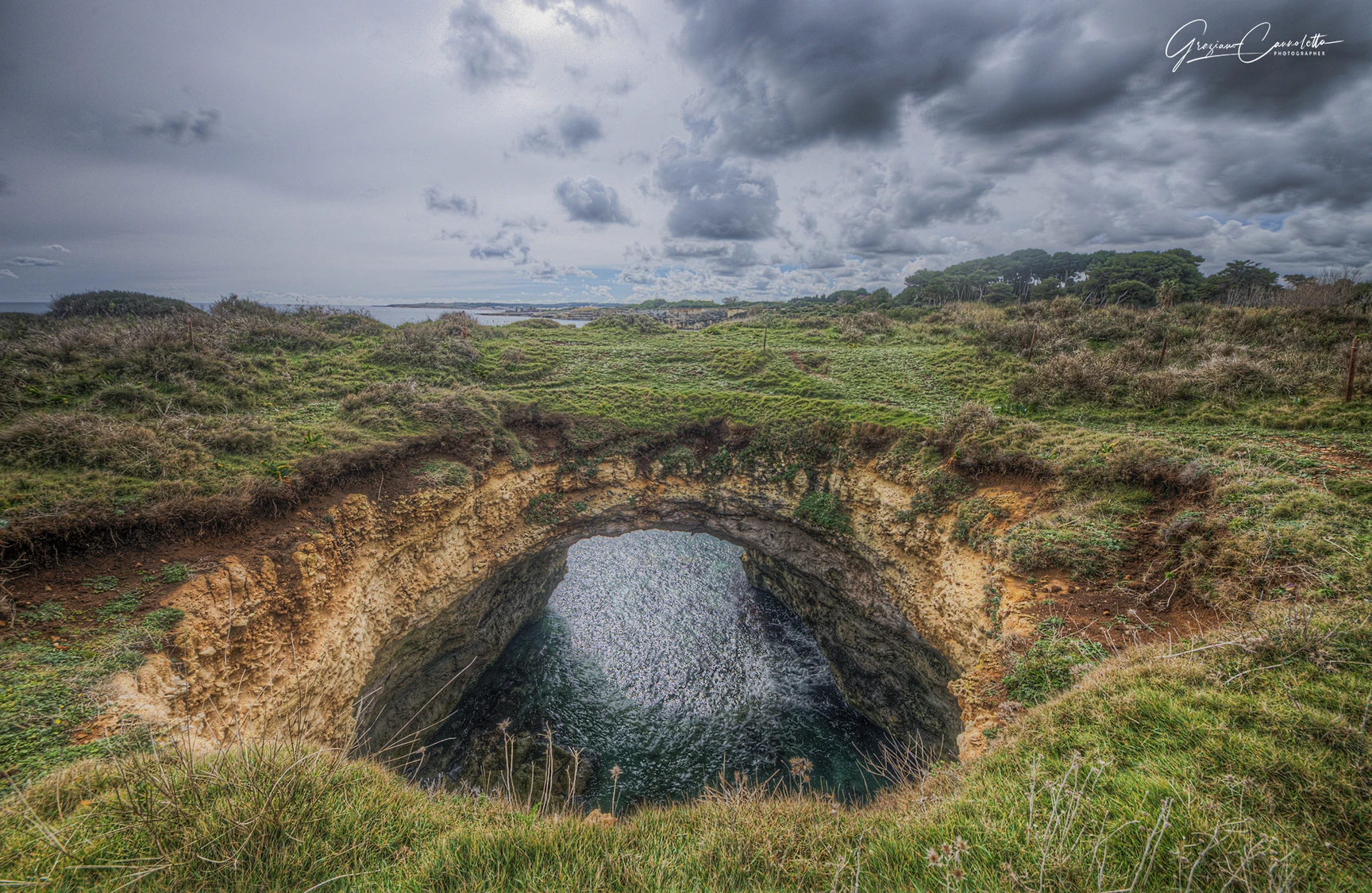
Otranto’s famous coastal cave with a collapsed roof and a large opening to the sky, in the Mulino d’Acqua cave system.

Baia Imperia

Baia Imperia

A secluded rocky bay north of Otranto, between the Mulino d’Acqua sector and Torre Santo Stefano, commonly visited from the sea.

Torre del Serpe

Torre del Serpe

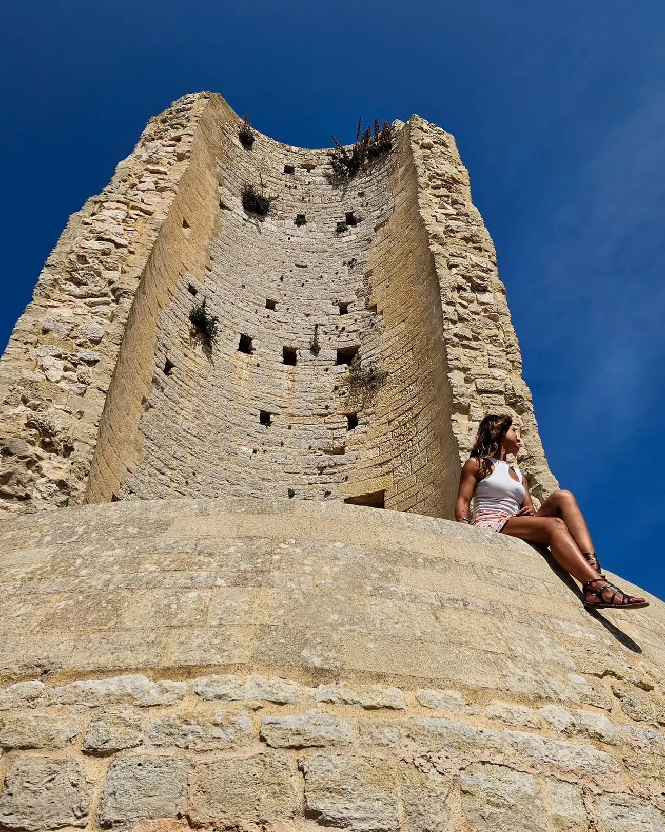
The ICCD cultural-heritage record describes Torre del Serpe as a coastal tower about 200 m from the sea and 35 m above it; tradition links it to an earlier lighthouse, while today it survives as a partly ruined structure.

Grotta delle Conchiglie

A sea cave in Mulino d’Acqua Bay, immediately beside Grotta Sfondata and reached from the sea.

Lungomare di Otranto

Lungomare di Otranto

This guide mainly covers Lungomare degli Eroi, the public promenade beside the historic centre; it should not be confused with Lungomare Terra d’Otranto or Lungomare Kennedy.

Salentissimo.it

Services near Baia del Mulino d’Acqua

Choose a service and view all available businesses and information on its dedicated page.

Continue along the Otranto coast

Return to the Otranto page or continue towards Baia delle Orte and Torre Santo Stefano.

Frequently asked questions about Mulino d’Acqua Bay

The most important answers today concern getting there, access, parking, services and cliff safety.

Where is Mulino d’Acqua Bay?
It is on the Adriatic coast just north of central Otranto, in the Province of Lecce, Puglia and Salento. The most recognisable road reference is Borgo Mulino d’Acqua at Via Vicinale Santo Stefano 34.
How do you reach Mulino d’Acqua Bay by car?
By car you can reach the Borgo Mulino d’Acqua area by following directions for Via Vicinale Santo Stefano. This takes you to the private property overlooking the bay and does not mean guaranteed public access to the shoreline.
Can you still walk down to the bay using the campsite walkway?
Do not rely on the old walkway described in previous guides. The official regulations currently published by the Borgo state that from the property it is not permitted to move close to the cliff or reach the sea and they refer to the restrictions in force because of collapse risk.
Is there parking near Mulino d’Acqua Bay?
The Borgo has its own parking area for registered users of the property. We did not find a public bay car park with an updated tariff that can correctly be presented as a guaranteed service; for a day visit, check access and parking arrangements with the property first.
Are there bars or restaurants near the bay?
Yes. Borgo Mulino d’Acqua officially has a restaurant, bar and pool bar. These are services inside a private property, however, and outside access is subject to the rules and availability set by management.
Can you swim or snorkel at Mulino d’Acqua?
The Borgo’s official regulations refer to the ban on bathing and other activities in the water in front of the cliff because of collapse risk. Signs, barriers and authority instructions must therefore be respected without entering restricted areas, even if older descriptions of snorkelling in the bay are still found online.
Is Mulino d’Acqua Bay suitable for children or people with reduced mobility?
Not as a straightforward beach day: there is no simple public access to the shoreline that we can describe as safe, and the setting is a cliff area subject to restrictions. Families with small children, pushchairs or people with reduced mobility are better choosing a beach with regular access and directly reachable services.
What is the safest way to see Grotta Sfondata and the nearby caves?
The safest approach is to check current restrictions and, where permitted, use a local boat operator who knows the prohibited areas and maintains safe distances from the cliff. Improvised swims, climbs or descents along the cliff are not advisable.