Marmitta dei Giganti di Porto Badisco
Puglia · Salento · Adriatic Sea · Porto Badisco

Marmitta dei Giganti di Porto Badisco

The Marmitta dei Giganti was a striking karst-erosional feature with a large rounded rock. Otranto’s official visitor guide reports, however, that the site was irreparably vandalised in December 2022, so historic photographs do not necessarily show what remains today.

Marmitta dei Giganti di Porto Badisco: what to know before you go

The Marmitta dei Giganti was a striking karst-erosional feature with a large rounded rock. Otranto’s official visitor guide reports, however, that the site was irreparably vandalised in December 2022, so historic photographs do not necessarily show what remains today. The site was irreparably vandalised in December 2022 and the detour is for expert hikers; do not search off-trail for the old feature or descend in strong wind/rough sea.

How to get there

Otranto’s visitor guide marks the Marmitta detour for expert hikers. Rock, gradients and exposed coast require experience and proper footwear.

How to get there

If an access point is closed or altered, do not improvise shortcuts: use authorised routes only.
Sea and seabed

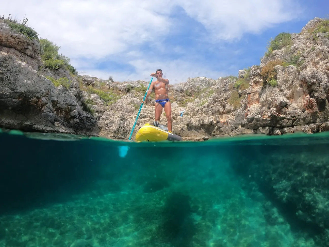
This guide concerns a historic, archaeological or geological site and does not present it as a normal bathing point.

Safety

Before moving away from shore, identify a safe exit point and do not enter if waves or current exceed your ability.

Advertisement

Families and children

Not our first choice for toddlers, frail older visitors or anyone uncomfortable on rock and natural trails.

Safety

Before planning the day, consider access, distance from services, crowding and how easy it will be to get back.

Amenities

No facilities are guaranteed at the exact point; bring water and sun protection.

What to bring

Bring water and a small snack anyway, especially on free or natural stretches.

Parking

There is no dedicated car park for the individual natural site; use legal roadside/parking areas and walk the final section.

How to get there

Do not leave valuables visible in the car and do not occupy verges, access points or unauthorised spaces.

Accessibility

Rock, natural trails, gradients or a sea crossing prevent a universal-access claim.

Safety

If you have specific mobility needs, check before leaving whether the route is genuinely usable that day.

Safety

The site was irreparably vandalised in December 2022 and the detour is for expert hikers; do not search off-trail for the old feature or descend in strong wind/rough sea.

Safety

If signs or barriers on site are more restrictive than this guide, the instructions on site always take precedence.

Why visit

Choose it for natural, archaeological or scenic value rather than forcing a swim where access is unsuitable.

Why visit

If actual conditions differ from those described, always follow the instructions on site.

What to bring

Bring suitable walking shoes, water, a hat and sunscreen; for the islands add water shoes and a waterproof bag.

What to bring

Keep your phone and documents in a waterproof case and carry your gear in a compact backpack.

The gallery shows the available and verified photographs for this place.

Book a beach umbrella

Beach clubs and bathing establishments linked to this location.

No beach clubs are currently listed for this seaside resort. If you run one here, you can add it free of charge.
Advertisement

Is your beach club missing?

Add it to the portal for free.

Add beach club

Visit other beaches in the same seaside resort (Porto Badisco)

Continue along the same coast with the linked guides.

Porto Russo

Porto Russo

Porto Russo is a small rocky inlet south of Porto Badisco on the Costa delle Ergate Trail. The full itinerary is graded E, but Porto Russo is only one stop along it; the length of the entire loop should not be confused with the distance required to reach the cove.

Antro di Porto Badisco

Antro di Porto Badisco

The 2026 Speleological Register precisely identifies Antro di Porto Badisco as “Grotta Salinaci” (PU 906), with two entrances visible in the bay. It is a natural cave, not a conventional beach.

Advertisement
Porto Badisco Beach

Porto Badisco Beach

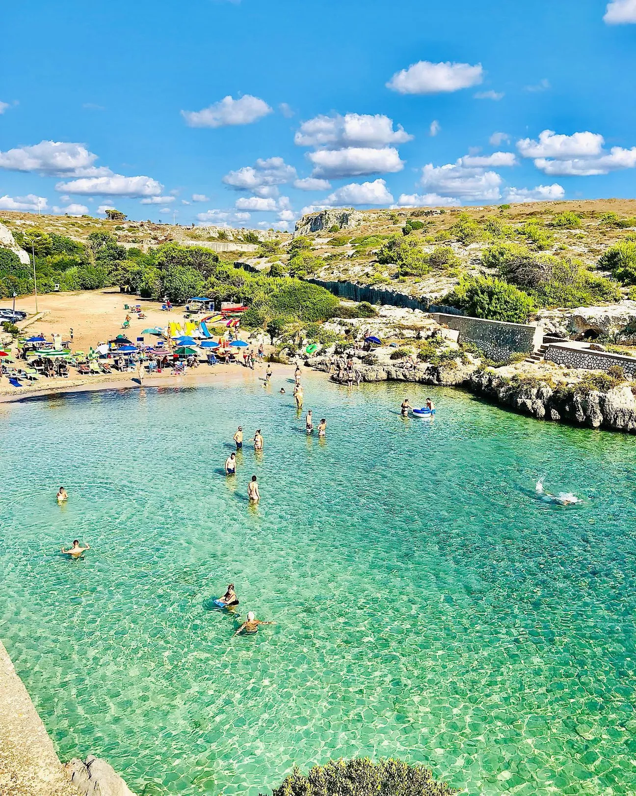
A small inlet between rocky headlands with a compact sandy section and clear water: good for families and snorkelling, but in peak summer space and parking are the main constraints.

Grotta Funeraria

Grotta Funeraria

The name “Grotta Funeraria” belongs to Porto Badisco’s prehistoric cave landscape. Historical and archaeological research documents burials and human remains in the nearby Cunicolo dei Diavoli system, but modern maps distinguish separate cavities, so the two names are not treated as automatically identical.

Torre Sant’Emiliano

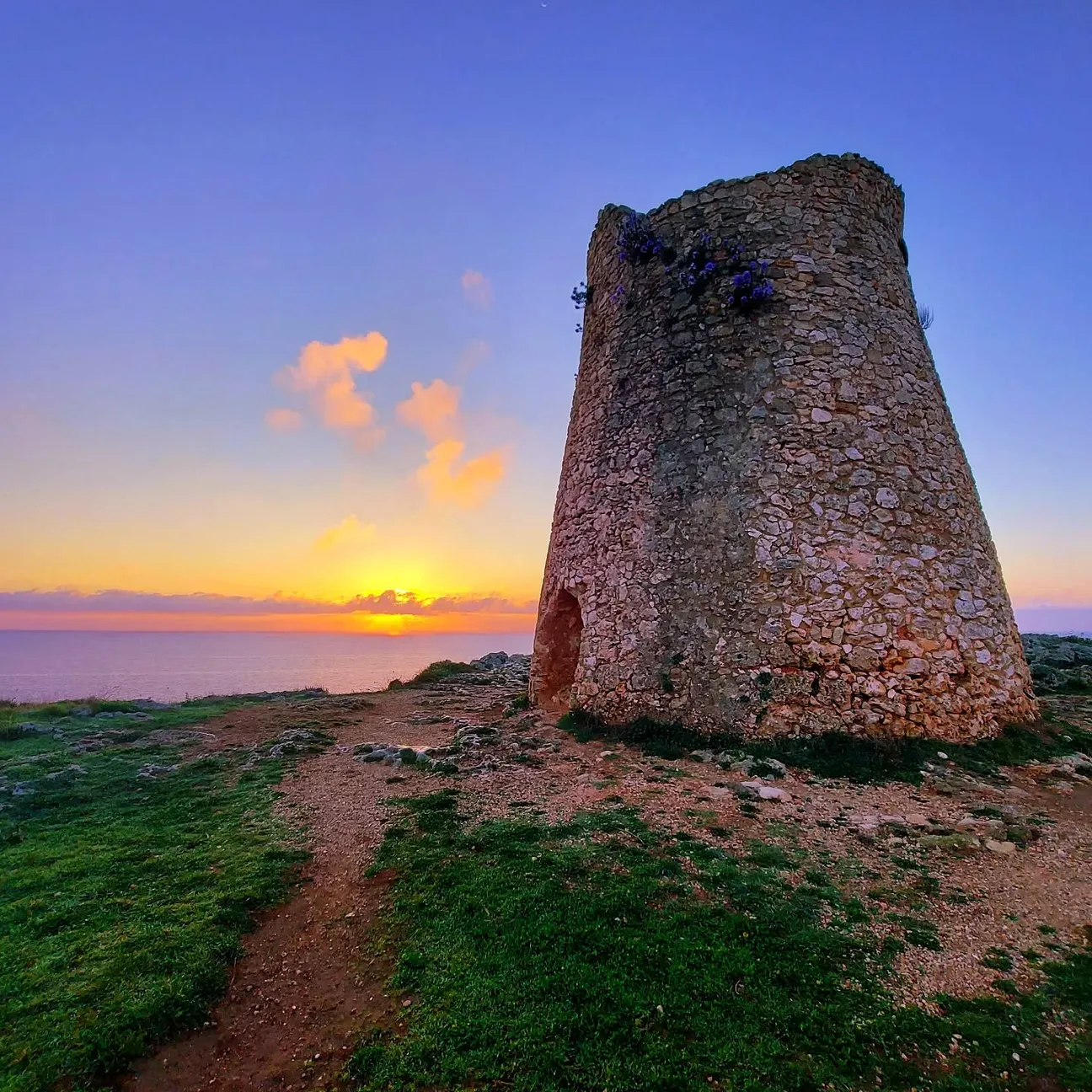
Torre Sant’Emiliano is a historic coastal watchtower on the headland between Porto Badisco and Punta Palascia. The ICCD catalogue records it as fortified military architecture on the SP87; the recommended visit is external and panoramic, with no assumption that the interior is open.

Grotta di Sant’Emiliano

The regional cave register distinguishes Grotta di Sant’Emiliano (PU 909) from the nearby Riparo Torre Emiliano. It is a natural cavity below the Sant’Emiliano tower sector, and no safe public land descent has been verified.

Grotta dei Cervi

Grotta dei Cervi is not an ordinary sea cave for a boat visit: it is a major prehistoric underground complex at Porto Badisco, with several entrances, about 1,500 m of passages and thousands of Neolithic pictograms. The interior is protected and normally closed to unrestricted visits.

Salentissimo.it

Services near Marmitta dei Giganti di Porto Badisco

Choose a service and view all available businesses and information on its dedicated page.

Continue along the coast

Navigation follows the coastal resort configured for this location.

Frequently asked questions about Marmitta dei Giganti di Porto Badisco

Location, access, families, safety and practical information.

Where is it?
Porto Badisco
What kind of place is it?
Coastal geosite
How do you reach it?
Otranto’s visitor guide marks the Marmitta detour for expert hikers. Rock, gradients and exposed coast require experience and proper footwear.
Is it suitable for children?
Not our first choice for toddlers, frail older visitors or anyone uncomfortable on rock and natural trails.
Are there amenities?
No facilities are guaranteed at the exact point; bring water and sun protection.
Where can I park?
There is no dedicated car park for the individual natural site; use legal roadside/parking areas and walk the final section.
What is the main safety point?
The site was irreparably vandalised in December 2022 and the detour is for expert hikers; do not search off-trail for the old feature or descend in strong wind/rough sea.
Is it accessible for reduced mobility?
Rock, natural trails, gradients or a sea crossing prevent a universal-access claim.
What are the coordinates?
40.08726, 18.49351