Getting there and access
Reach it on foot along natural paths; surfaces and gradients vary, so proper footwear is needed.
If an access point is closed or altered, do not improvise shortcuts: use authorised routes only.
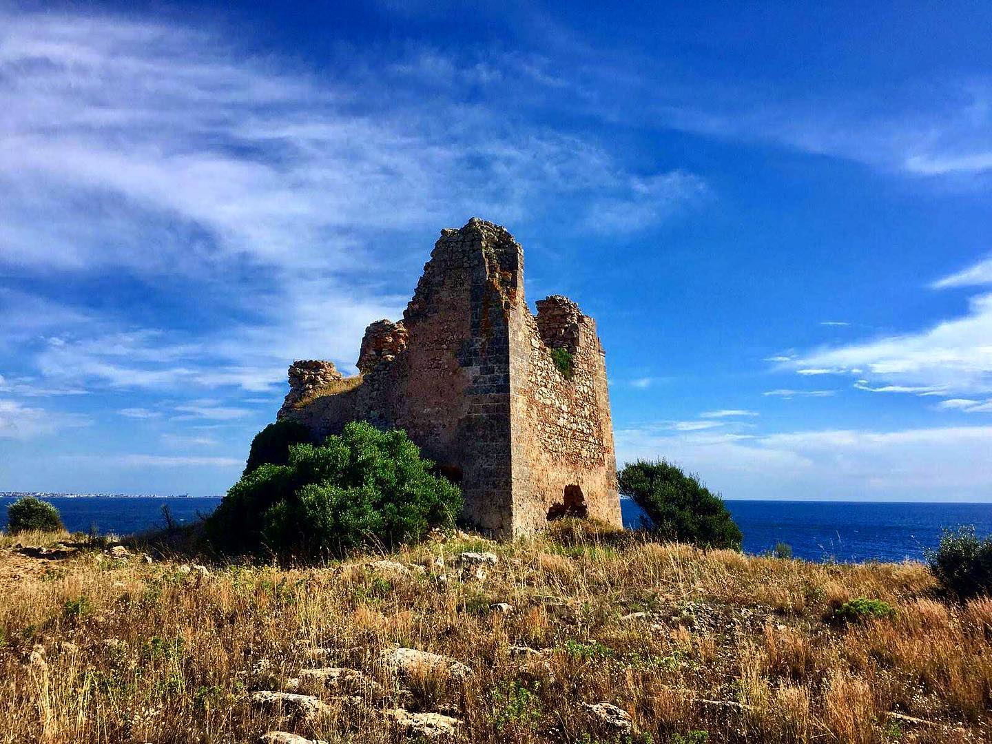
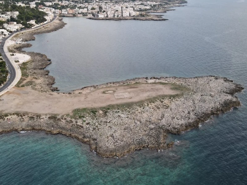
Punta dell’Aspide is the headland between Santa Caterina and Santa Maria al Bagno. CartApulia records a Late Republican shipwreck offshore, while coastal-instability notices require a cautious approach to the cliff landscape.
Practical information checked for access, sea conditions, services and safety. Hydrographic notices on coastal instability include the Punta dell’Aspide sector; any closures and safety distances must be respected.
Reach it on foot along natural paths; surfaces and gradients vary, so proper footwear is needed.
If an access point is closed or altered, do not improvise shortcuts: use authorised routes only.
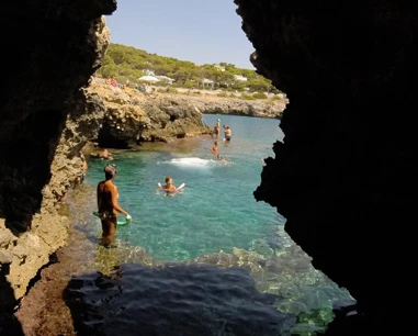
Rocky coast with an irregular seabed, often deep close to the cliffs. Rough seas can make entry and especially exit difficult.
Before moving away from shore, identify a safe exit point and do not enter if waves or current exceed your ability.
Not an easy destination for small children: rocks, gradients and depth require constant supervision.
Before planning the day, consider access, distance from services, crowding and how easy it will be to get back.
Use town or marina parking; in July and August traffic, restricted zones and availability can change quickly.
Do not leave valuables visible in the car and do not occupy verges, access points or unauthorised spaces.
Rock, paths or steps make the site unsuitable for wheelchairs, pushchairs and reduced mobility.
If you have specific mobility needs, check before leaving whether the route is genuinely usable that day.
Keep back from cliff edges, avoid uncontrolled cliff jumps and do not enter the sea in rough conditions or on slippery rock.
If signs or barriers on site are more restrictive than this guide, the instructions on site always take precedence.
Hydrographic notices on coastal instability include the Punta dell’Aspide sector; any closures and safety distances must be respected.
Before visiting, check whether newer rules have been introduced since this update.
Best for walkers, photographers and visitors interested in coastal landscapes and nature.
Before deciding, pay particular attention to the access and safety cards, as they can completely change the experience.
Less suitable for reduced mobility, small children or visitors unused to paths and rocky cliffs.
If one of these limitations is decisive for you, compare a nearby location before setting off.
Walking shoes with good grip, water, a hat and sun protection.
Keep your phone and documents in a waterproof case and carry your gear in a compact backpack.
The pin locates the place; check actual access, parking and conditions on site. The position is a sector reference, not a certified access point. Coordinates: 40.135050, 17.985310.
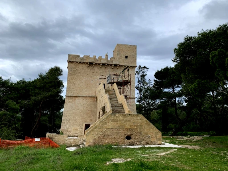
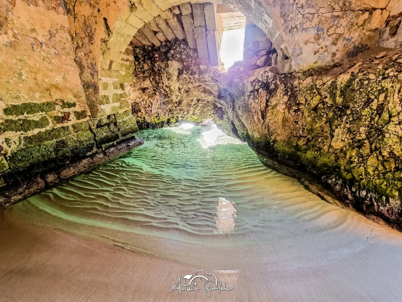
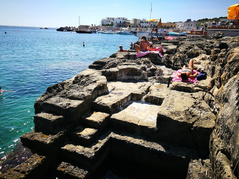
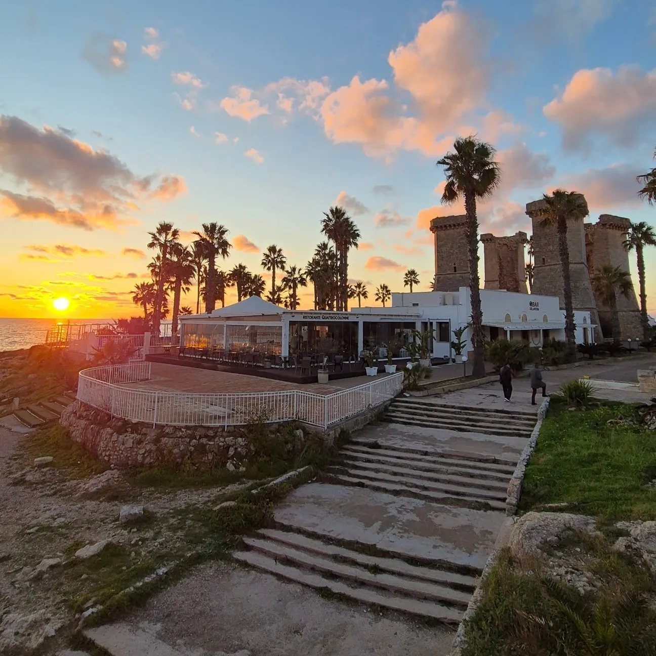
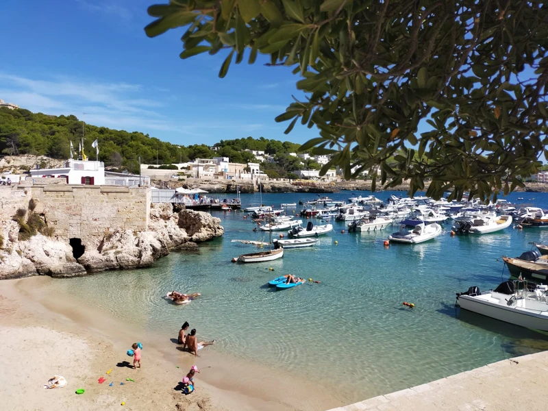
The gallery shows the available and verified photographs for this place.
Have you photographed this beach or a beach club located here? Send your image to Salentissimo.it.
The photo and the details you enter will be emailed to the editorial team and checked before possible publication among the photographs of this beach.
Do you own or manage a beach club or bathing establishment? Claim your listing free of charge: email us a photo, a short description, your contact details and a link to your website. We will create an updated card with the information you provide.
Add it free of charge by emailing us the business details.
Add your beach clubContinue along the same stretch of coast with the linked guides.
Una piccola zona balneare inserita nel tessuto della marina, tra scogliera bassa e accessi al mare.
Open guideIl piccolo approdo di Santa Caterina, punto riconoscibile del lungomare e della vita della marina.
Open guideLa torre costiera collegata visivamente al sistema difensivo delle torri di Nardò.
Open guideUn promontorio roccioso a nord della marina, affacciato su un tratto di mare di interesse naturalistico e archeologico.
Open guideUna caratteristica insenatura rocciosa legata alla tradizione balneare della marina.
Open guideUn tratto costiero libero di Santa Caterina conosciuto localmente come I Salotti.
Open guideDo you run a hotel, B&B, residence, holiday home or other accommodation? Claim your listing free of charge: email us a photo, a short description, your contact details and a link to your website. We will create an updated card with the information you provide.
Navigation follows the parent seaside resort and genuinely adjacent coastal places.
Access, sea, parking, families, services and safety.