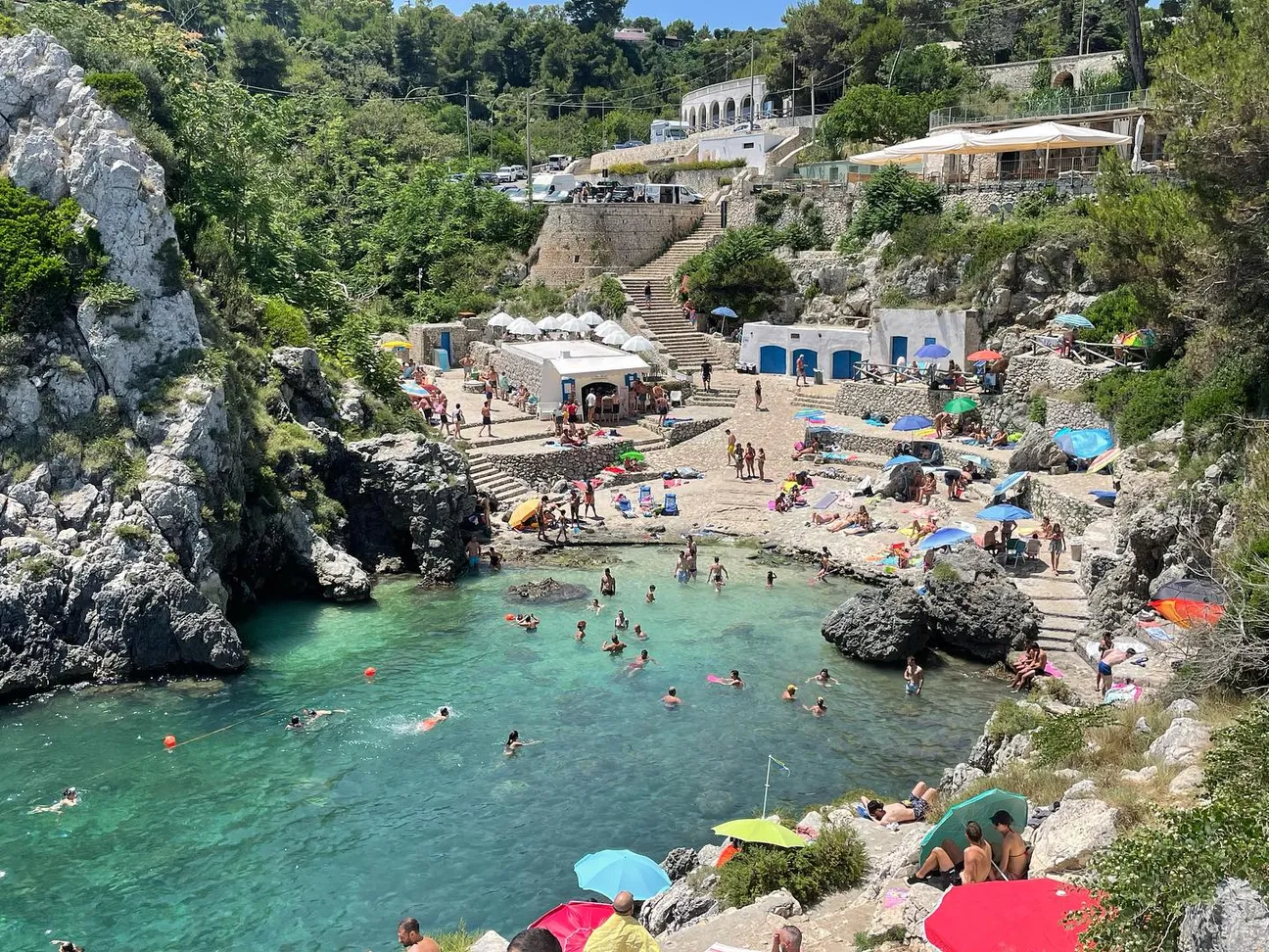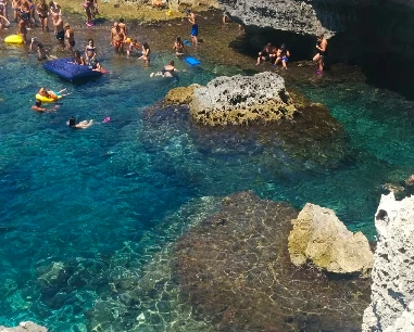
Entirely pedestrian route
The municipality describes it as a pedestrian link between Botte and Grotta Verde.
An easier way to enjoy the coast without walking directly over rocks.
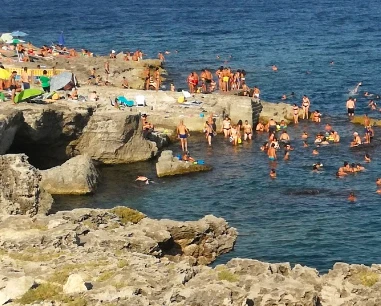
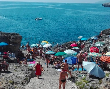
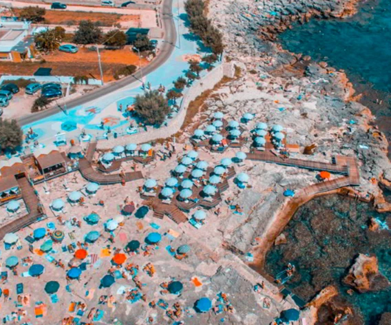
The pedestrian coastal promenade linking La Botte with Grotta Verde along Marina di Andrano’s Adriatic rocky shoreline.
The old page claimed about 2 km and permanent bars and kiosks. The municipality clearly confirms the key fact instead: it is an entirely pedestrian promenade connecting Botte and Grotta Verde. We avoid an unverified fixed length and permanent-service promises.
The municipality describes it as a pedestrian link between Botte and Grotta Verde.
An easier way to enjoy the coast without walking directly over rocks.

It follows the urban coast and connects several bathing access points.
39.96835, 18.40620 is a central orientation point, not a single destination.
The historic guide said about 2 km, but the current municipal page does not give that length.
We describe the verified connection rather than repeat an uncertain figure.
Municipal history records work from the late 1980s, later paving and lighting, and Piazzetta delle Agavi in 2002.
It is part of the identity of the resort.
The municipal page documents benches and meeting spaces.
Seasonal bars, kiosks and events may change and are not guaranteed throughout.
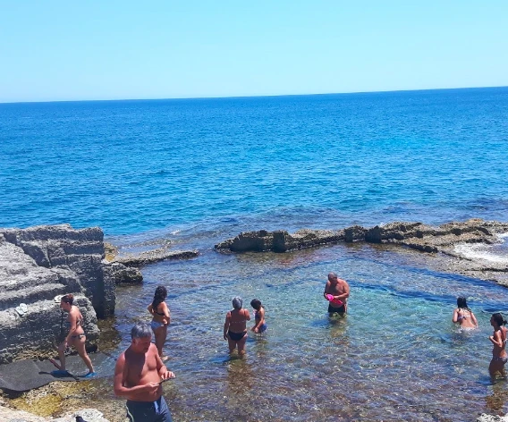
Several bathing points can be reached from the promenade, but the coast remains mostly rocky.
Useful only if you descend to the shore.
The promenade itself is easier than the rocks; bathing suitability depends on the exact access.
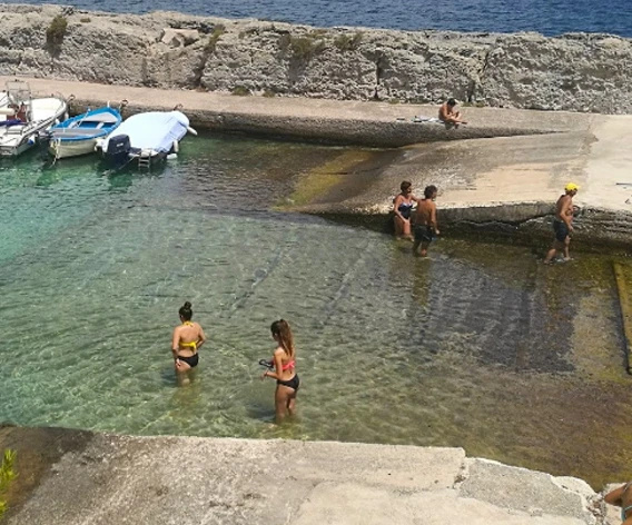
Botte has shallower sectors; Fiume and Grotta Verde suit stronger swimmers better.
The paved urban route is easier than natural trails, but slopes, maintenance and interruptions can affect use.
Full wheelchair accessibility is not guaranteed without current checking.
In January 2026 the municipality temporarily closed the promenade during a weather alert, especially around Grotta Verde and Botte-Porto.
Check alerts and obey closures in rough weather.
Comfortable shoes, water, hat and sunscreen; water shoes only if going down to the sea.
Early morning and late afternoon are pleasant for walking.
Reference coordinates: 39.96835, 18.4062. The pin is an orientation point for the coastal location and does not certify one exact sea-entry point.
The gallery can be populated from the project photo database and historic images already associated with Marina di Andrano.
Have you photographed this beach or a beach club located here? Send your image to Salentissimo.it.
The photo and the details you enter will be emailed to the editorial team and checked before possible publication among the photographs of this beach.
Do you own or manage a beach club or bathing establishment? Claim your listing free of charge: email us a photo, a short description, your contact details and a link to your website. We will create an updated card with the information you provide.
La Botte, Il Fiume, Grotta Verde and the promenade are close but very different: caves, harbour and bathing accesses remain separate guides.
A nearby Marina di Andrano place for comparing bathing access, caves and coastal walks.
Open guide Luogo costieroA nearby Marina di Andrano place for comparing bathing access, caves and coastal walks.
Open guideDo you run a hotel, B&B, residence, holiday home or other accommodation? Claim your listing free of charge: email us a photo, a short description, your contact details and a link to your website. We will create an updated card with the information you provide.
Marina di Andrano lies between Tricase Porto to the south and Marina di Marittima to the north.
Location, access, sea, families, safety and practical information.