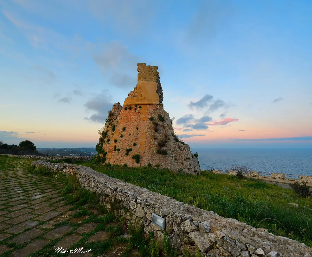
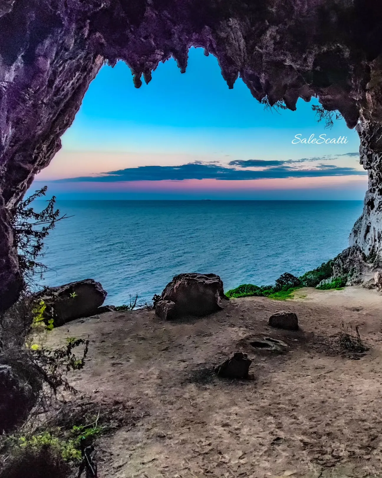
Rocky marina, not a beach
Corsano municipality lists Guardiola among its seaside localities on a rugged coast with caves and Mediterranean vegetation.
Do not expect sand, shallow water or beach-club facilities.
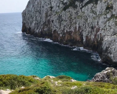
One of Corsano’s rocky seaside localities on the Adriatic, surrounded by Mediterranean scrub and the historic Salt Routes, where cliffs and trails require more care than a normal beach.
This guide treats Guardiola as a rocky coastal locality, not a beach. Hiking and landscape remain central, but we remove encouragement to cliff-jump or independently explore sea caves.
Corsano municipality lists Guardiola among its seaside localities on a rugged coast with caves and Mediterranean vegetation.
Do not expect sand, shallow water or beach-club facilities.
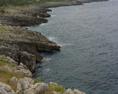
The Funnuvojere–Calaveddha trail reaches Guardiola after 1,424 m and about 41 technical minutes.
The Park rates it T–E and notes rocky, exposed sections.
D04 climbs from Guardiola towards the Rusia viewpoint: 450 m, about 33 minutes, strong elevation gain and natural stone steps.
Closed shoes with good grip.
Dry-stone walls, mantagnate, tidal pools and old tracks tell the history of salt gathering along Corsano’s coast.
Do not leave the trail to approach cliff edges or pools.
This is not a gentle sandy entry and depth can change quickly.
Assess waves, backwash, slippery rock and a safe exit.
The rocky coast can be interesting to observe, but we do not recommend independently entering caves or cavities.
Stay near a safe exit and within your ability.
Guardiola is less convenient than a beach because of rocks, trails and lack of sandy shore.
Adults and older children used to rocky coasts.
From 25 July 2026 Corsano introduced a free seasonal service towards Guardiola, Funnuvojere and Novaglie.
Timetables and dates can change in later seasons.
No dedicated car park or universally accessible sea entry has been verified.
Use legal parking and check real conditions for reduced mobility.
Light hiking shoes, water shoes, water, hat, sunscreen, mask and minimal luggage.
Everything carried down must be carried back.
The pin is an orientation point for the locality (39.873, 18.39645). For hiking use the Regional Park’s official tracks.
The gallery can be populated from the project photo database; no unverified local filenames are invented.
Have you photographed this beach or a beach club located here? Send your image to Salentissimo.it.
The photo and the details you enter will be emailed to the editorial team and checked before possible publication among the photographs of this beach.
Do you own or manage a beach club or bathing establishment? Claim your listing free of charge: email us a photo, a short description, your contact details and a link to your website. We will create an updated card with the information you provide.
Linked guides help distinguish the different rocky localities along the same coast.
Rocky locality on the Salt Routes itinerary.
Open guide Costa rocciosaRocky seaside locality and start of the Funnuvojere–Calaveddha trail.
Open guide Costa rocciosaNatural gully with a short official path to the coast.
Open guideDo you run a hotel, B&B, residence, holiday home or other accommodation? Claim your listing free of charge: email us a photo, a short description, your contact details and a link to your website. We will create an updated card with the information you provide.
Return to Corsano or continue towards Marina di Novaglie and Marina di Tiggiano.
Access, trails, sea conditions, families, safety and recent changes.