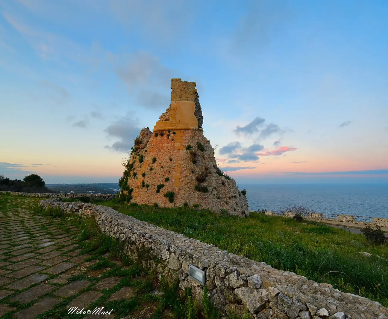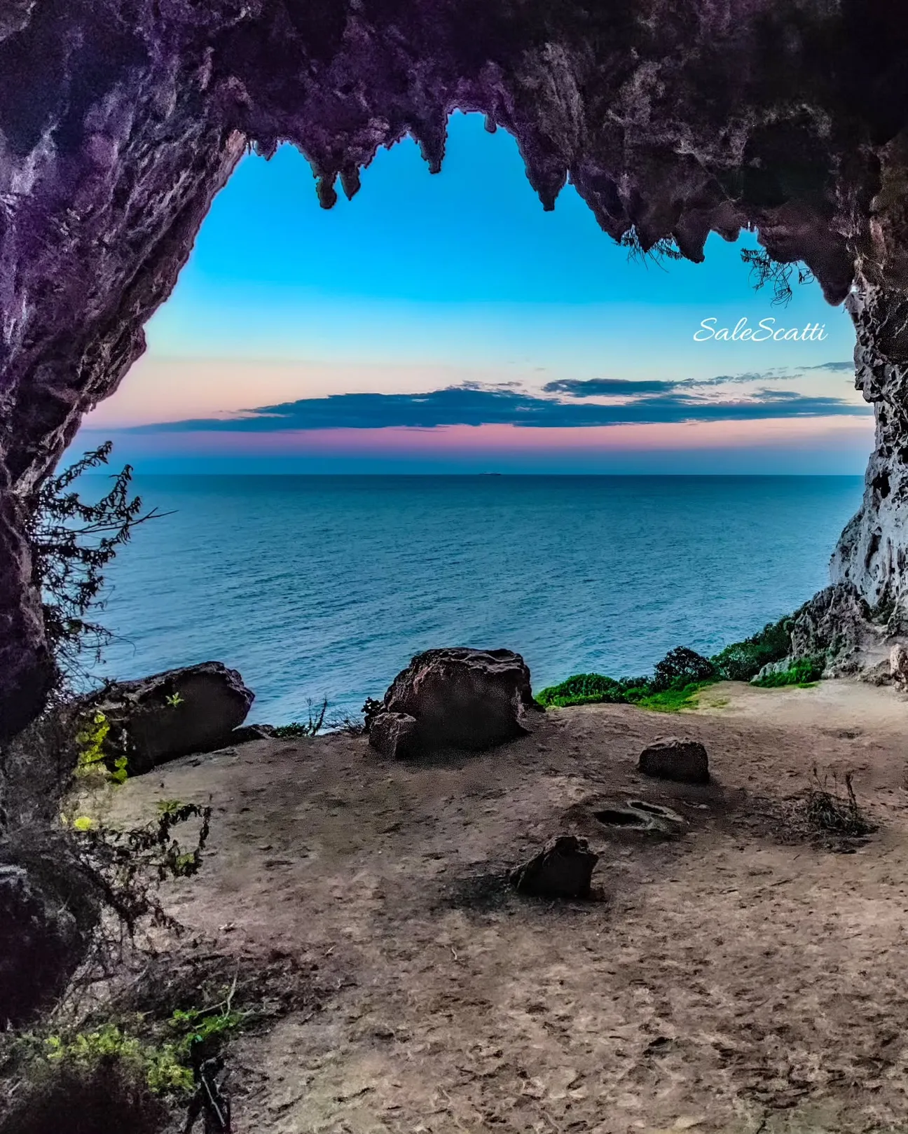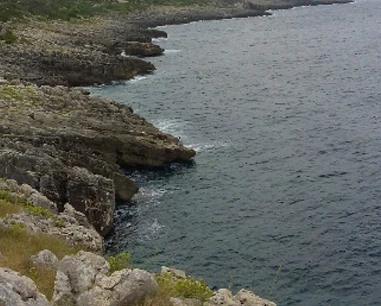
Rocky coast, not a sandy beach
Corsano lists Funnuvojere among its marine localities and the Park describes a rocky coast crossed by old salt routes.
Do not expect sand or a uniform seabed.
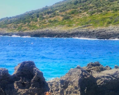
One of Corsano’s best-known seaside localities, with a rocky shoreline, tidal pools linked to salt-gathering traditions and the starting point of the Funnuvojere–Calaveddha trail.
Funnovòjere is more accurately a rocky seaside locality than a true beach. Since 2026 the municipality has been progressing a project for an equipped sea descent; in June it was still in the Services Conference stage, so we do not present it as completed.
Corsano lists Funnuvojere among its marine localities and the Park describes a rocky coast crossed by old salt routes.
Do not expect sand or a uniform seabed.
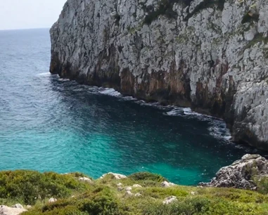
The Funnuvojere–Calaveddha trail begins at the end of the marina service road and heads south to Guardiola.
1,424 m, about 41 minutes, difficulty T–E.
At the beginning of the trail the Park identifies tidal pools and rock pools historically used for salt gathering.
They are part of the Salt Routes landscape and should not be damaged.
After an easier first stretch, D03 becomes narrow and rocky and in places runs close to the high coast.
The Park warns that the track can be difficult to see on exposed rock.
Slippery surfaces, rough sea and the exit point matter more than water clarity.
Use water shoes and assess conditions.
In June 2026 the municipality opened a Services Conference for a project to improve sea access at Funnuvojere.
It is an administrative project; this page does not claim it is already built.
From 25 July 2026 a free municipal service linked Funnuvojere, Guardiola and Novaglie.
Timetable and operating season can change.
Less convenient than a sandy beach for small children while access remains rocky.
Choose an easier access if you need a regular seabed and play space.
The planned improved descent does not mean current universal accessibility.
Wait for confirmed completion and official accessibility information before relying on new facilities.
Comfortable shoes, water shoes, water, hat, sunscreen, mask and light luggage.
Take rubbish away and do not disturb tidal pools.
The pin is an orientation point for the locality (39.8834, 18.3991). For hiking use the Regional Park’s official tracks.
The gallery can be populated from the project photo database; no unverified local filenames are invented.
Have you photographed this beach or a beach club located here? Send your image to Salentissimo.it.
The photo and the details you enter will be emailed to the editorial team and checked before possible publication among the photographs of this beach.
Do you own or manage a beach club or bathing establishment? Claim your listing free of charge: email us a photo, a short description, your contact details and a link to your website. We will create an updated card with the information you provide.
Linked guides help distinguish the different rocky localities along the same coast.
Do you run a hotel, B&B, residence, holiday home or other accommodation? Claim your listing free of charge: email us a photo, a short description, your contact details and a link to your website. We will create an updated card with the information you provide.
Return to Corsano or continue towards Marina di Novaglie and Marina di Tiggiano.
Access, trails, sea conditions, families, safety and recent changes.