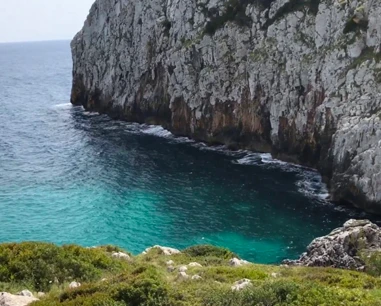
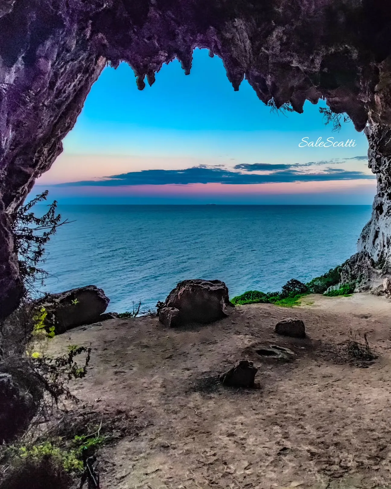
Rocky Corsano locality
The municipality lists Scalamasciu among its seaside localities together with Funnuvojere, Scala Preula and Guardiola.
It is not a conventional sandy beach.
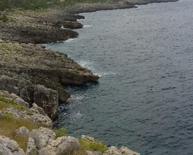
A rocky locality on the Corsano coast along the official Salt Routes itinerary, among Mediterranean scrub, cliffs and coastal paths that can become harder after storms.
The update removes two claims not sufficiently supported in the old page: we do not promise freshwater springs or specific natural pools at Scalamasciu. What is well documented is its place on the Regional Park’s coastal itinerary.
The municipality lists Scalamasciu among its seaside localities together with Funnuvojere, Scala Preula and Guardiola.
It is not a conventional sandy beach.
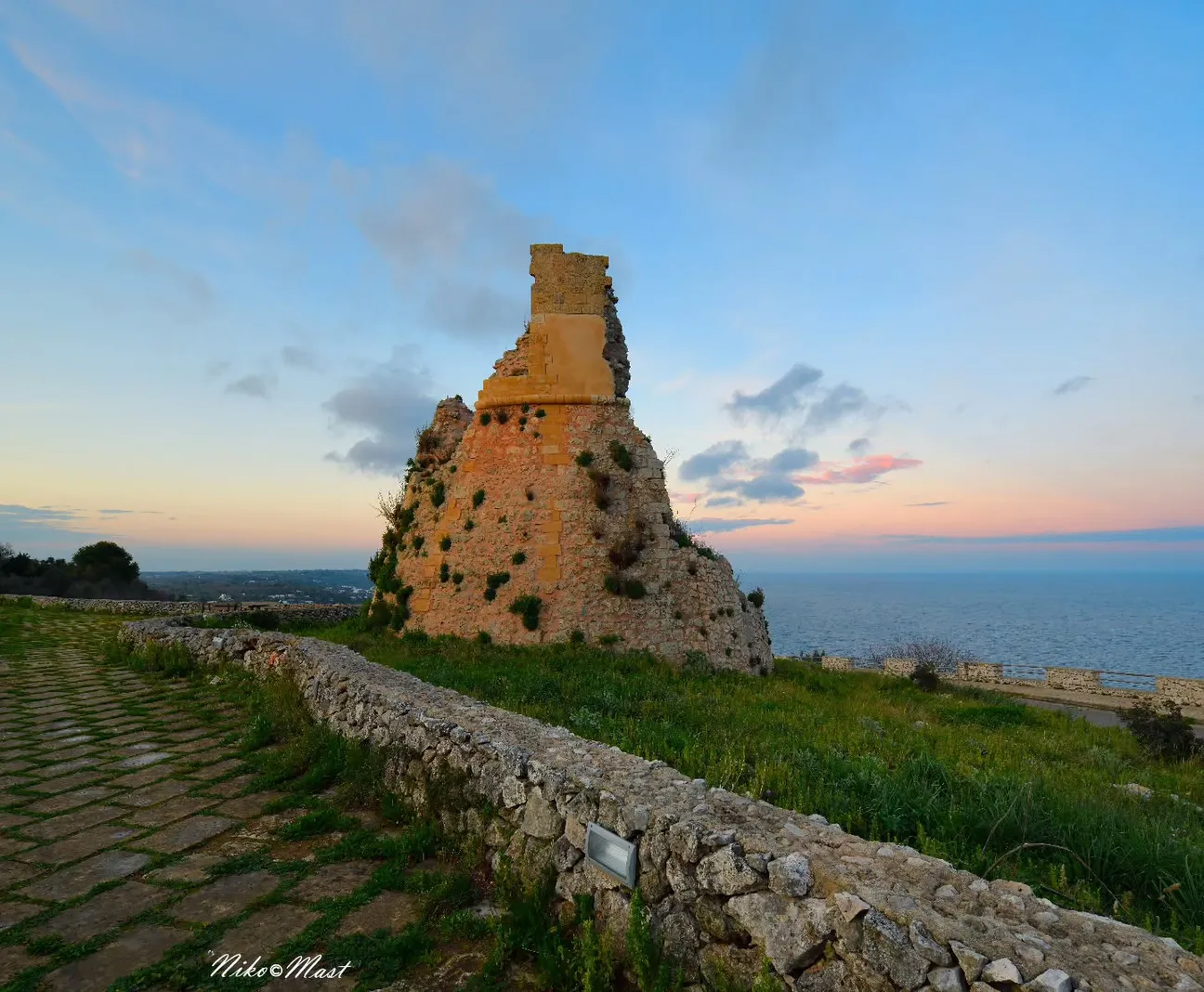
The Park’s official itinerary reaches Scalamasciu from the Grotta del Soffio trail and continues south towards Funnuvojere.
This is a hiking landscape as well as a sea location.
The Park warns that storms can move large boulders on the Grotta del Soffio section and make the route harder to follow.
Follow the official GPS track and do not improvise shortcuts.
Cliffs, rock and Mediterranean scrub dominate the Corsano shoreline.
Keep away from edges and assess the ground.
There is no single standard entry or uniform seabed described for Scalamasciu.
Identify both a safe entry and a safe exit.
The old page celebrated jumping; Park sources do not certify jump points at Scalamasciu.
Do not copy others or assume depth.
In calm sea the rocky coast may be interesting to observe, but do not enter caves or sections without a safe exit.
Stay within your experience.
Less suitable for small children than sandy beaches with regular seabeds.
Paths, boulders and rock require greater care.
No dedicated parking, beach services or water assistance are assumed.
Carry water and park only where permitted.
Closed shoes, water shoes, water, sun protection, hat and mask.
Keep luggage light and phone charged if hiking.
The pin is an orientation point for the locality (39.8912, 18.3996). For hiking use the Regional Park’s official tracks.
The gallery can be populated from the project photo database; no unverified local filenames are invented.
Have you photographed this beach or a beach club located here? Send your image to Salentissimo.it.
The photo and the details you enter will be emailed to the editorial team and checked before possible publication among the photographs of this beach.
Do you own or manage a beach club or bathing establishment? Claim your listing free of charge: email us a photo, a short description, your contact details and a link to your website. We will create an updated card with the information you provide.
Linked guides help distinguish the different rocky localities along the same coast.
Rocky locality linking the D03 and D04 trails.
Open guide Costa rocciosaRocky seaside locality and start of the Funnuvojere–Calaveddha trail.
Open guide Costa rocciosaNatural gully with a short official path to the coast.
Open guideDo you run a hotel, B&B, residence, holiday home or other accommodation? Claim your listing free of charge: email us a photo, a short description, your contact details and a link to your website. We will create an updated card with the information you provide.
Return to Corsano or continue towards Marina di Novaglie and Marina di Tiggiano.
Access, trails, sea conditions, families, safety and recent changes.